
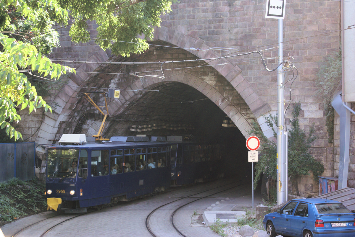
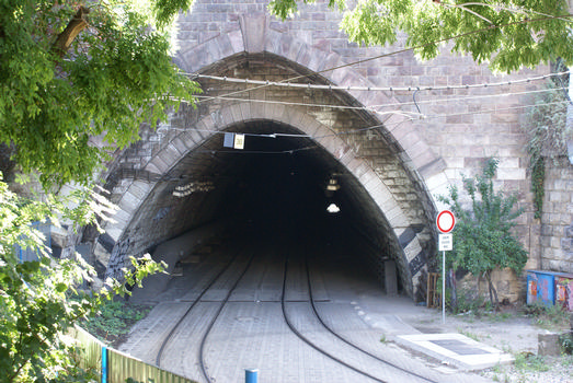
General Information
| Name in local language: | Tunel pod hradným vrchom |
|---|---|
| Beginning of works: | September 1943 |
| Completion: | 1949 |
| Status: | in use |
Project Type
| Function / usage: |
Railroad (railway) tunnel |
|---|---|
| Structure: |
Tunnel |
Location
| Location: |
Bratislava, Bratislava Region, Slovakia |
|---|---|
| Coordinates: | 48° 8' 38.98" N 17° 6' 9.36" E |
| Coordinates: | 48° 8' 30.78" N 17° 5' 31.70" E |
Technical Information
Dimensions
| length | 792 m |
Participants
Currently there is no information available about persons or companies having participated in this project.
Relevant Web Sites
There currently are no relevant websites listed.
- About this
data sheet - Structure-ID
20028533 - Published on:
19/06/2007 - Last updated on:
28/05/2021
Structurae cooperates with


