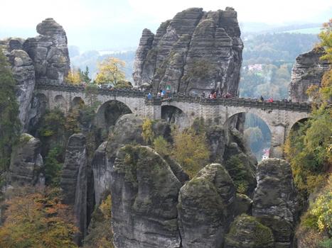
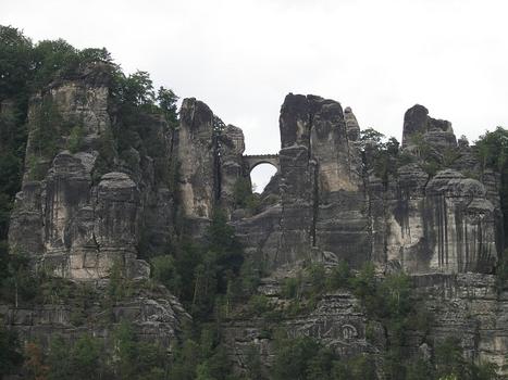
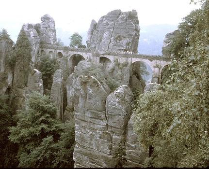
General Information
Project Type
| Structure: |
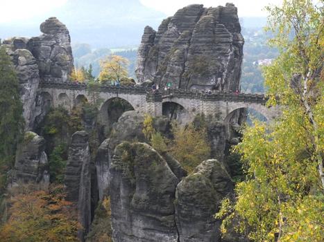
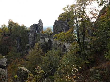
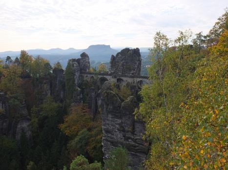
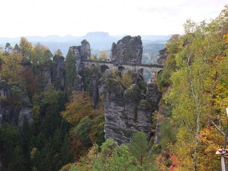
Semi-circular arch bridge |
|---|---|
| Function / usage: |
Pedestrian bridge (footbridge) |
| Material: |
Masonry bridge |
Location
| Location: |
Rathen, Sächsische Schweiz-Osterzgebirge, Saxony, Germany |
|---|---|
| Coordinates: | 50° 57' 42.89" N 14° 4' 22.15" E |
Technical Information
Dimensions
| length | 76 m | |
| height above valley floor or water | 191 m |
Materials
| arches |
stone
|
|---|
Participants
Architecture
- Marx Frommherz Lobegott (architect)
Relevant Web Sites
There currently are no relevant websites listed.
- About this
data sheet - Structure-ID
20017716 - Published on:
08/09/2005 - Last updated on:
24/06/2022

