
General Information
Project Type
| Function / usage: |
Hydroelectric dam / plant |
|---|---|
| Structure: |
Rockfill dam |
| Function / usage: |
Flood-control dam |
Location
| Location: |
Andong, North Gyeongsang, South Korea |
|---|---|
| Coordinates: | 36° 35' 4.48" N 128° 46' 26.48" E |
Technical Information
Dimensions
| height | 83 m | |
| crest length | 612 m | |
| crest thickness | 8 m | |
| base thickness | 200 m | |
| dam volume | 4 014 000 m³ |
Excerpt from Wikipedia
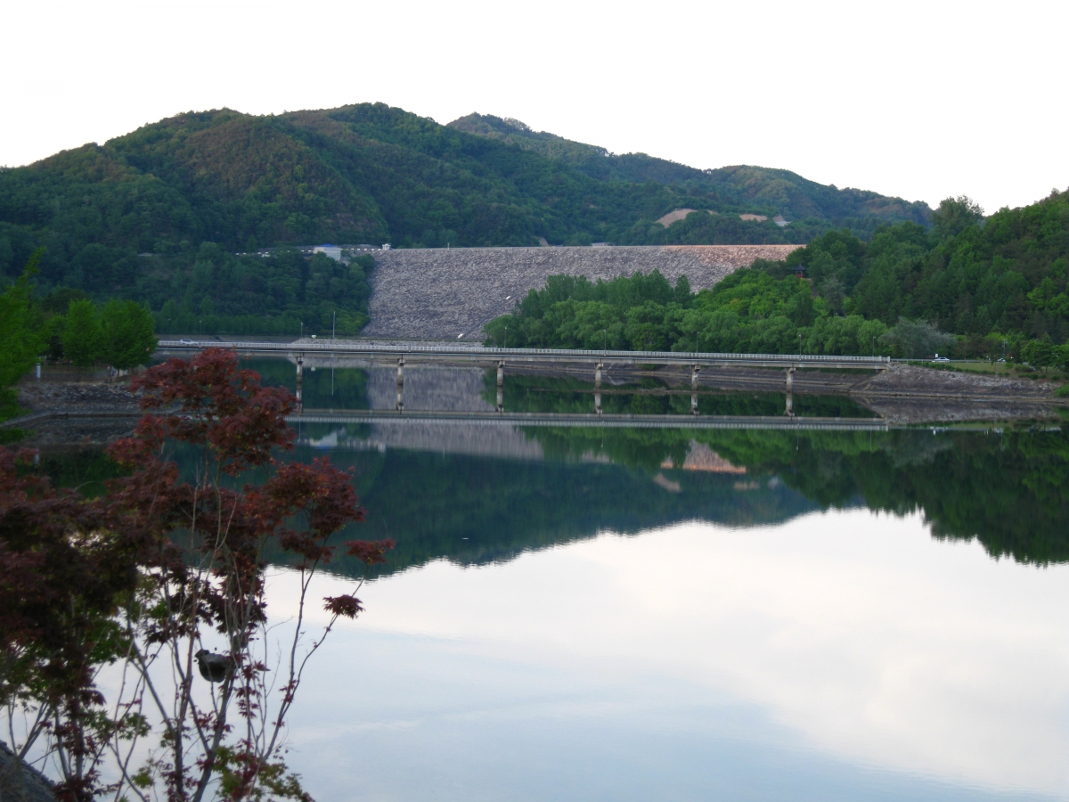
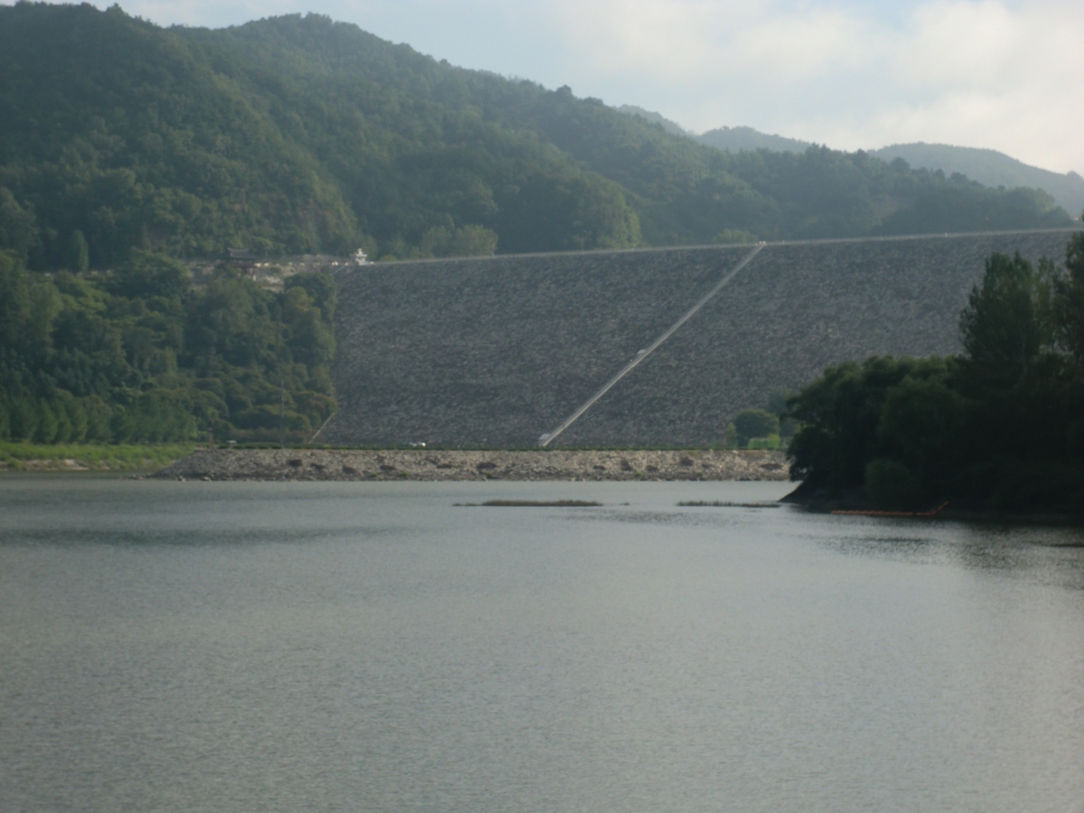
The Andong Dam is an embankment dam on the Nakdong River, 4 km (2 mi) east of Andong in Gyeongsangbuk-do province, South Korea.
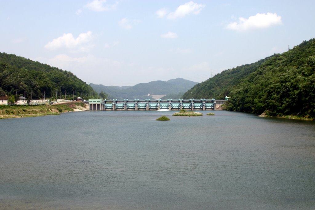
The purpose of the dam is flood control, water supply and hydroelectric power generation. Construction of the dam began in 1971 and was complete in 1976. The 83 m (272 ft) tall rock-fill, central clay core dam withholds a reservoir of 1,248,000,000 m³ (1,011,770 acre⋅ft) and provides water to an 90 MW pumped-storage power station. The lower reservoir (afterbay) for the power station is created by a 20 m (66 ft) high and 238 m (781 ft) long weir. The power plant is operated by the Korea Hydro and Nuclear Power (KHNP) organisation.
Text imported from Wikipedia article "Andong Dam" and modified on September 13, 2020 according to the CC-BY-SA 4.0 International license.
Participants
Currently there is no information available about persons or companies having participated in this project.
Relevant Web Sites

- About this
data sheet - Structure-ID
20080052 - Published on:
10/09/2020 - Last updated on:
10/09/2020


