
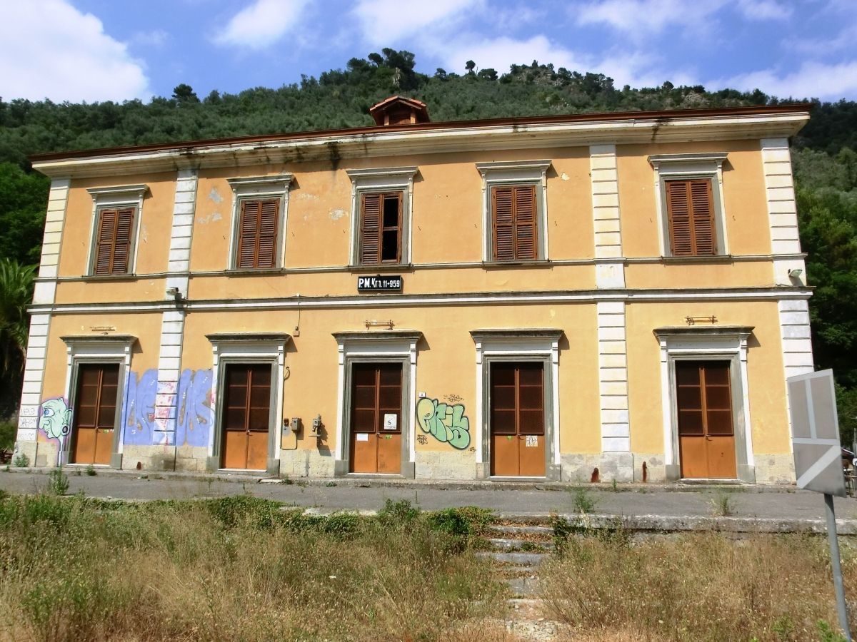
General Information
| Completion: | 1914 |
|---|---|
| Status: | disused |
Project Type
| Function / usage: |
Railroad (railway) station |
|---|
Location
| Location: |
Airole, Imperia, Liguria, Italy |
|---|---|
| Address: | SS20 |
| Part of: | |
| Coordinates: | 43° 52' 22.06" N 7° 32' 47.84" E |
Technical Information
Dimensions
| number of tracks | 4 |
Chronology
| 16 May 1914 — 1944 | End of the track |
|---|---|
| 1979 | P.M. (posto di Movimento, Signal box) km 11+959 |
Participants
Currently there is no information available about persons or companies having participated in this project.
Relevant Web Sites
There currently are no relevant websites listed.
- About this
data sheet - Structure-ID
20077829 - Published on:
21/07/2019 - Last updated on:
21/07/2019
Structurae cooperates with


