
General Information
Project Type
| Function / usage: |
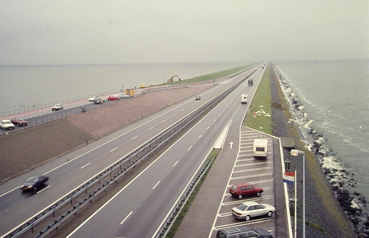
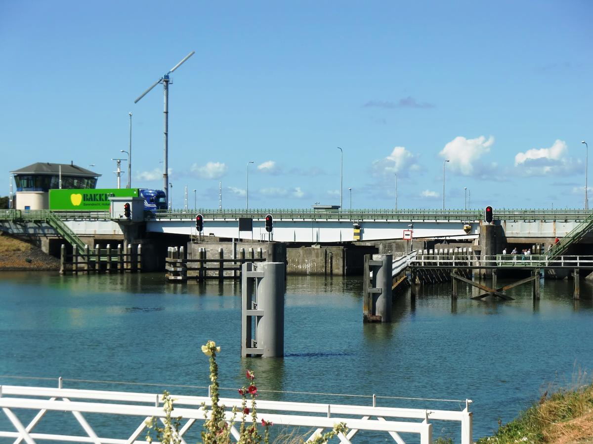
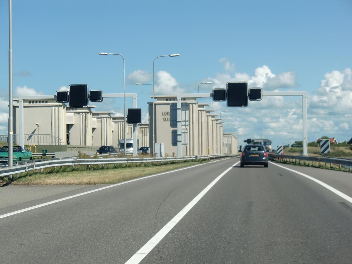
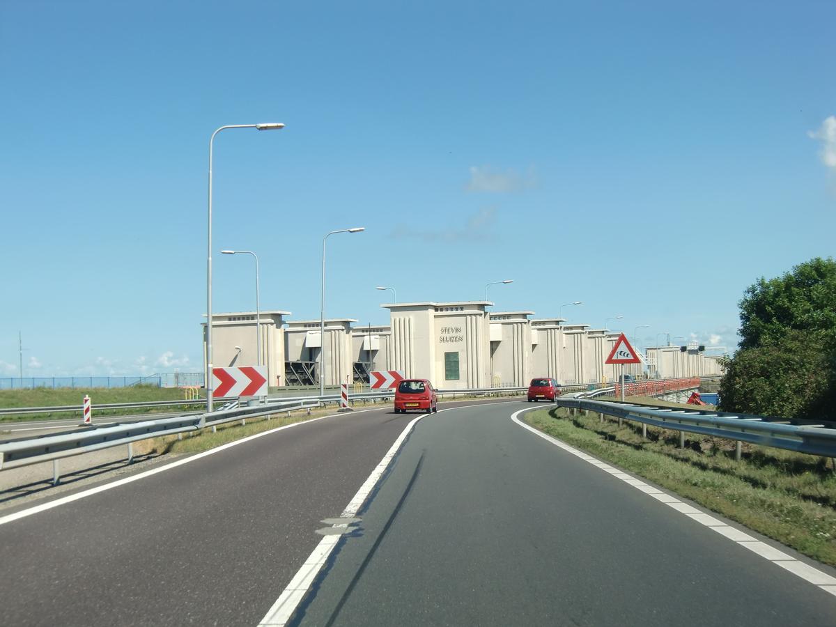
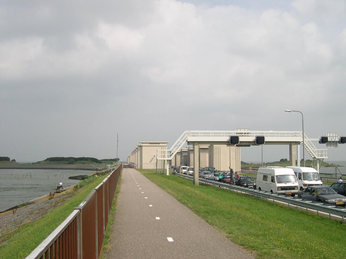
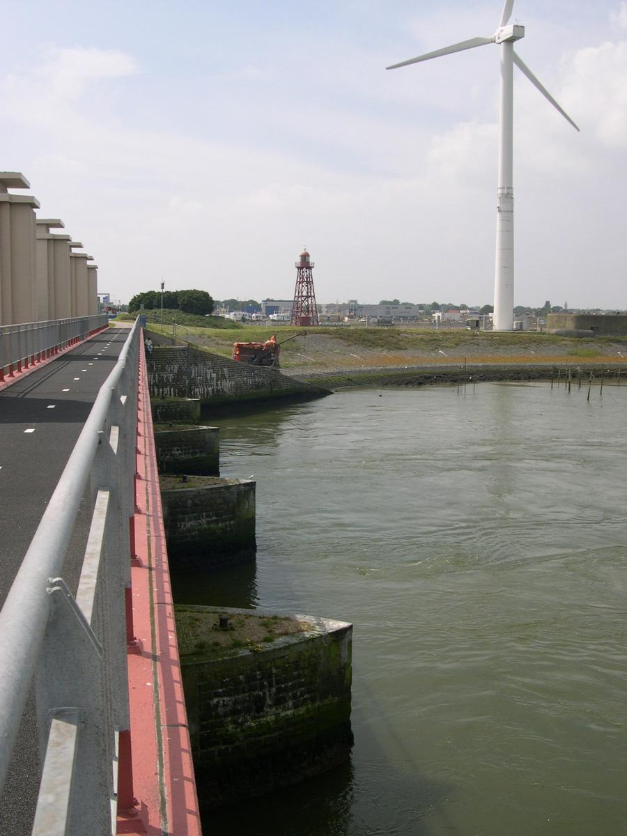
Causeway (road) |
|---|---|
| Structure: |
Earth- and rockfill dam |
Location
| Location: |
Den Oever, North Holland, Netherlands Harlingen, Friesland, Netherlands |
|---|---|
| Part of: | |
| Coordinates: | 52° 56' 17.29" N 5° 2' 59.14" E |
| Coordinates: | 53° 5' 34.77" N 5° 22' 37.17" E |
Technical Information
Dimensions
| width | 90 m | |
| height | 7.5 - 7. 8 m | |
| length | 32 km | |
| surface | 1 200 000 m² |
Quantities
| clay volume | 13 500 000 m³ | |
| sand volume | 23 000 000 m³ | |
| number of rocks | 1 500 000 |
Cost
| cost of construction | Dutch guilder 120 000 000 |
Materials
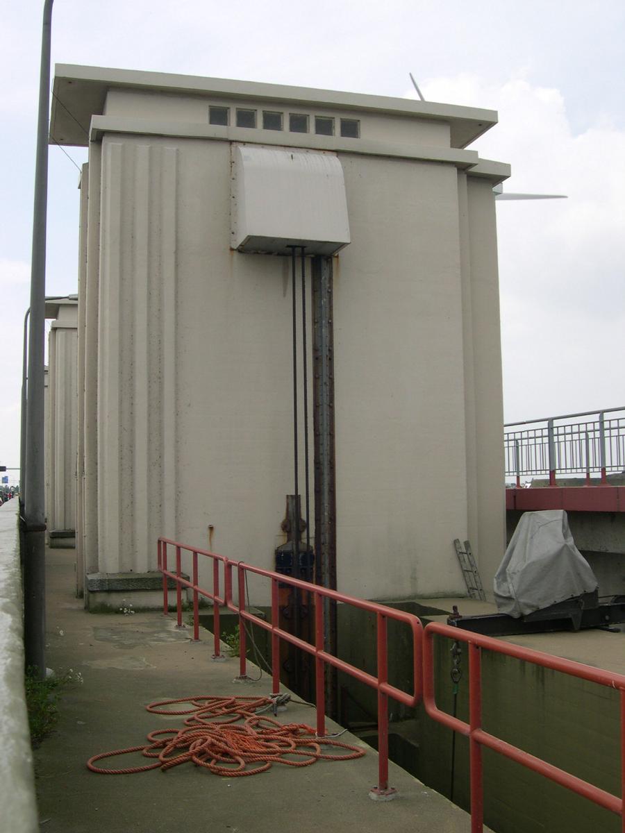
| dam structure |
clay
rock sand |
|---|
Participants
Design
- Cornelis Lely (designer)
Relevant Web Sites
There currently are no relevant websites listed.
Relevant Publications
- (2021): Afsluitdijk climate resilient with XblocPlus. Presented at: IABSE Congress: Structural Engineering for Future Societal Needs, Ghent, Belgium, 22-24 September 2021, pp. 256-264.
- About this
data sheet - Structure-ID
20012993 - Published on:
24/08/2004 - Last updated on:
27/08/2015
Structurae cooperates with


