

General Information
| Name in local language: | Güvercin Köprüsü |
|---|---|
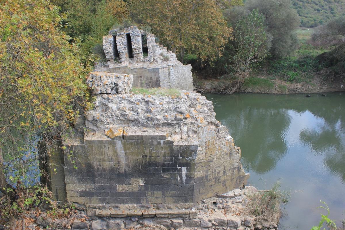
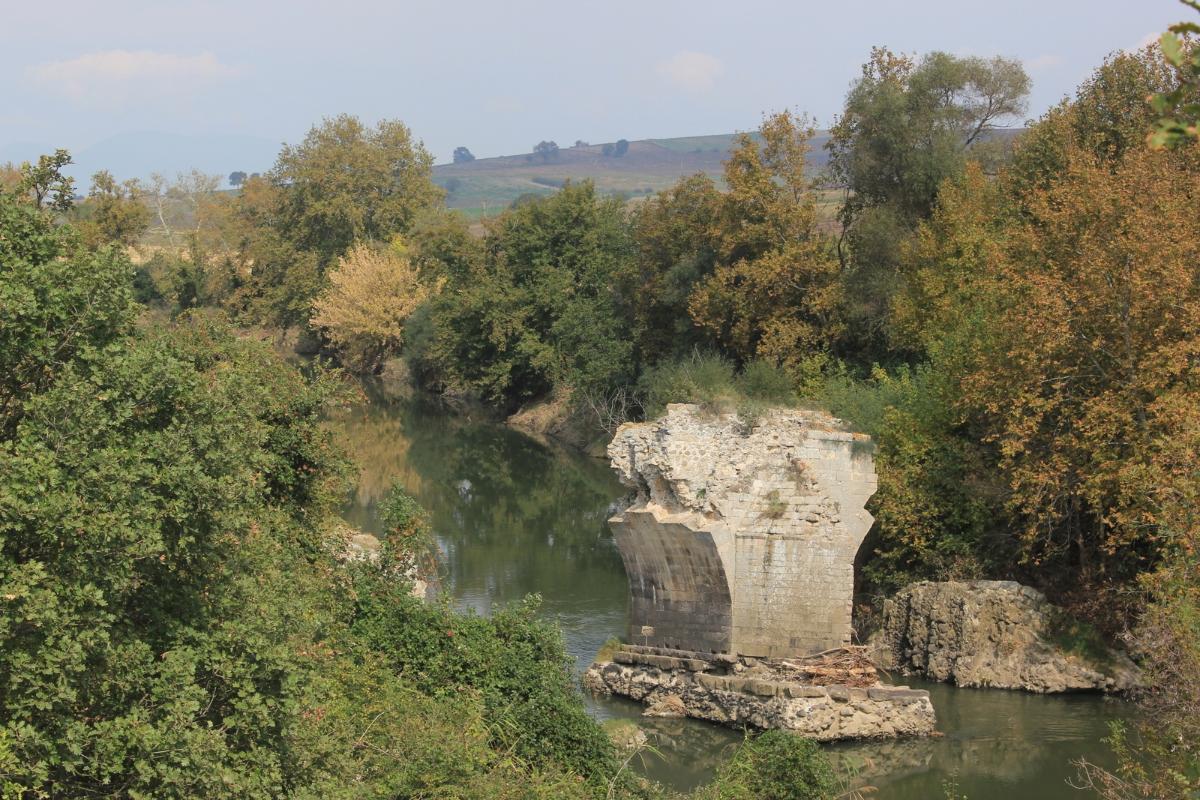
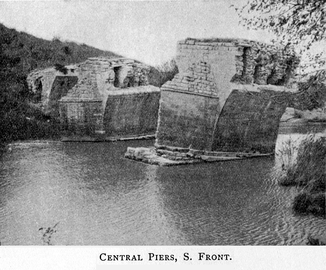
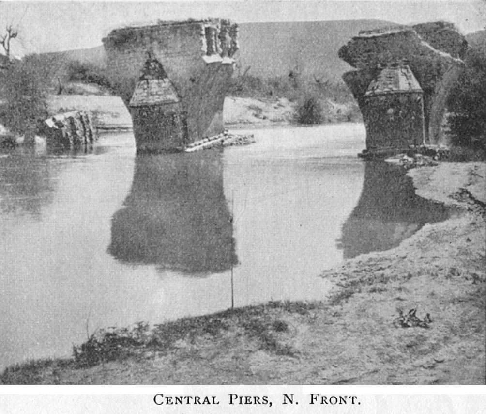
| Completion: | 4th century |
| Status: | in ruins |
Project Type
| Structure: |
Semi-circular arch bridge |
|---|---|
| Function / usage: |
Road bridge |
| Material: |
Masonry bridge Structurae Plus/Pro - Subscribe Now! |
Location
Technical Information
Dimensions
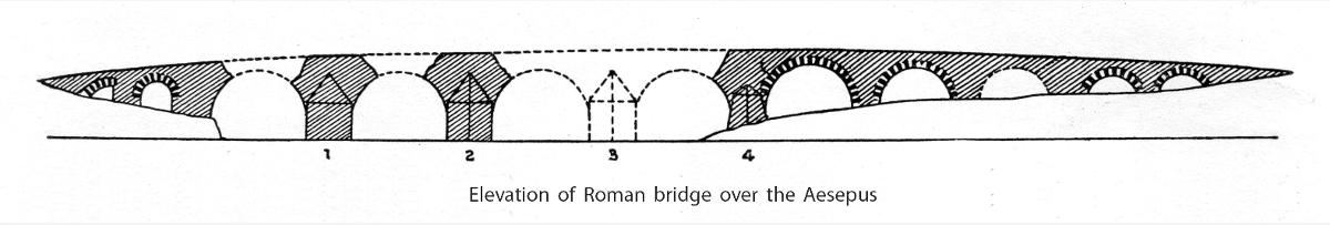
| main span | 12 m | |
| number of arches | 11 | |
| roadway / carriageway width | 5.60 m | |
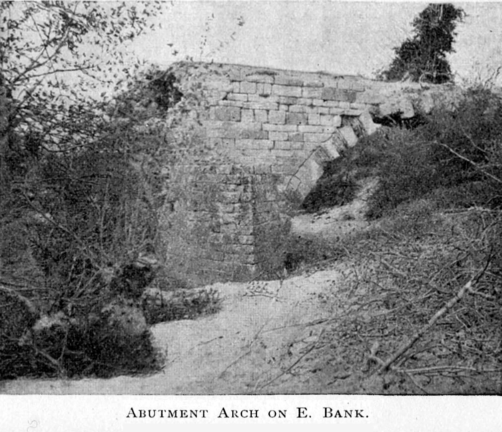
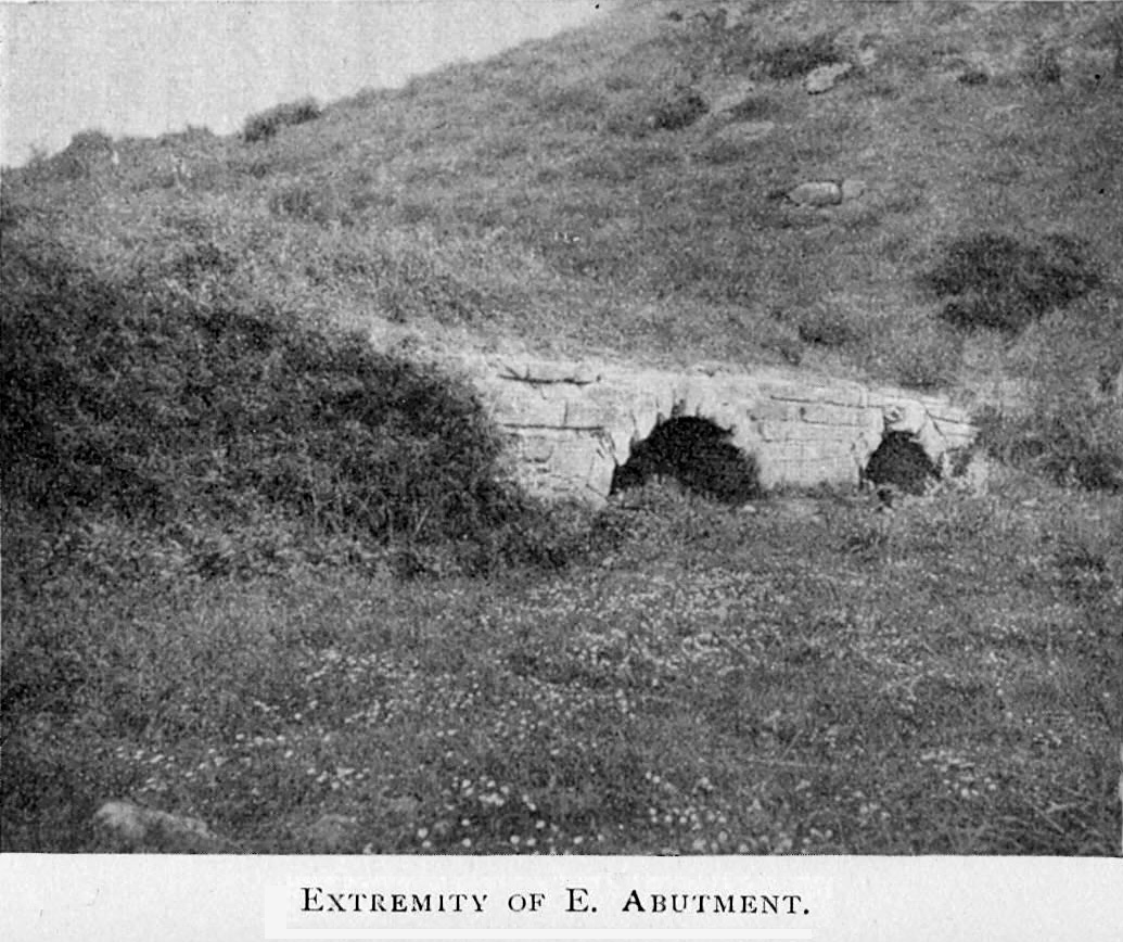
| abutments | number | 2 |
| piers | number | 10 |
Materials
| piers |
stone
|
|---|---|
| arches |
stone
|
| abutments |
stone
|
Participants
Currently there is no information available about persons or companies having participated in this project.
Relevant Web Sites

Relevant Publications
- : A Roman Bridge on the Aesepus. In: The Annual of the British School at Athens, v. 12 (1905/06).
- About this
data sheet - Structure-ID
20038759 - Published on:
05/08/2008 - Last updated on:
31/08/2023
Structurae cooperates with


