General Information
Project Type
| Structure: |
Suspension bridge with cable-stays |
|---|---|
| Function / usage: |
Road bridge |
| Material: |
Steel bridge |
Location
| Location: |
Kervignac, Morbihan (56), Bretagne, France |
|---|---|
| Crosses: |
|
| Replaced by: |
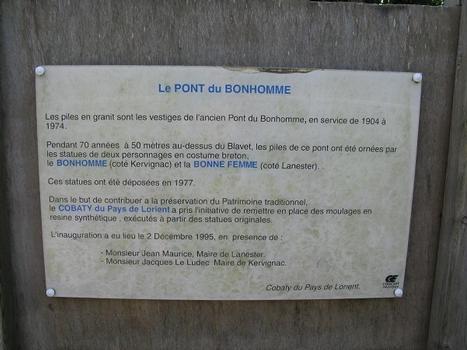
Pont du Bonhomme (1974)
|
| Coordinates: | 47° 45' 54.88" N 3° 18' 10.95" W |
| Coordinates: | 47° 45' 52.29" N 3° 18' 4.25" W |
Technical Information
Dimensions
| main span | 163.00 m | |
| total length | 237.00 m | |
| height above valley floor or water | 27 m | |
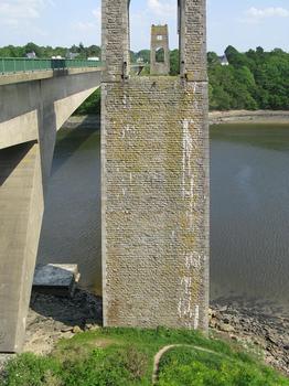
| pier height | 37 m |
Materials
| cables |
steel
|
|---|---|
| towers |
masonry
|
| deck truss |
steel
|
Chronology
| 11 November 1904 | Opened to traffic. |
|---|---|
| 1930 | Tolls cease. |
| 1945 | Repaired. |
| 1947 | Complete restoration. |
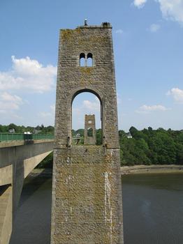
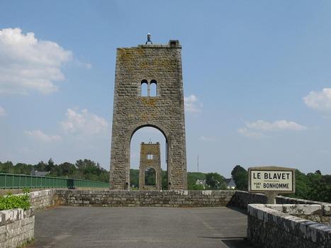
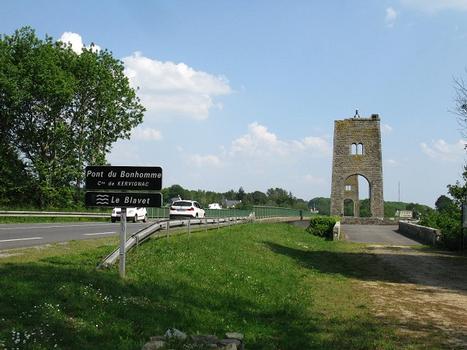
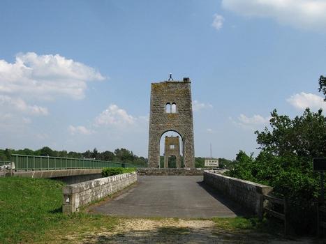
| 1980 | Deck and suspension cables are removed. Only the pylons remain to date. |
Participants
Relevant Web Sites
There currently are no relevant websites listed.
Relevant Publications
- (1977): Cable-Stayed Bridges. Theory and design. Crosby Lockwood Staples, London (United Kingdom), pp. 386.
- (2001): Les plus beaux ponts de France. Bonneton, Paris (France), pp. 132-133.
- (2004): Le Pont du Bonhomme. Didier-Plévert-Auto-Edition, Riantec (France).
- (1974): Le pont du Bonhomme franchissant l'estuaire du Blavet, près de Lorient. In: Travaux, n. 475 (October 1974), pp. 46.
- Pont du Bonhomme sur le Blavet. In: Bulletin annuel AFPC ( 1973- 1974), pp. 155-160.
- About this
data sheet - Structure-ID
20001968 - Published on:
16/09/2001 - Last updated on:
05/02/2016

