
Floating through the forest with Fly-Line
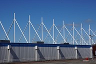
A walk through the forest in the third dimension? Fly-Line makes it possible: The "passengers" float across the terrain on a tubular steel track and experience nature in a new, very special way. The software developed specifically for this purpose played a major role in the efficient planning of the lightweight tubular steel structure.
Media
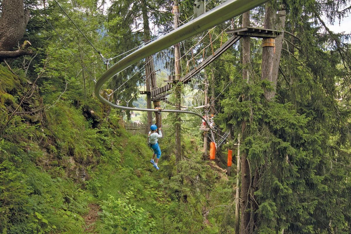
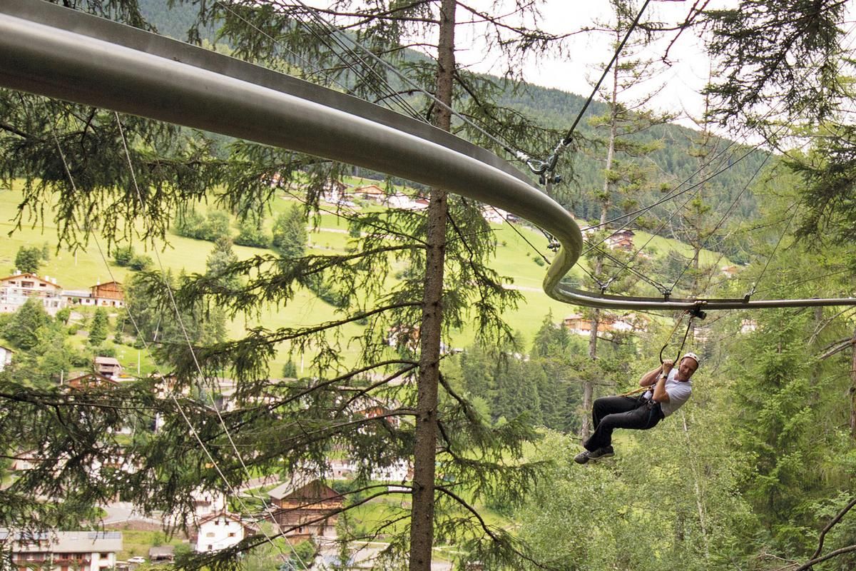
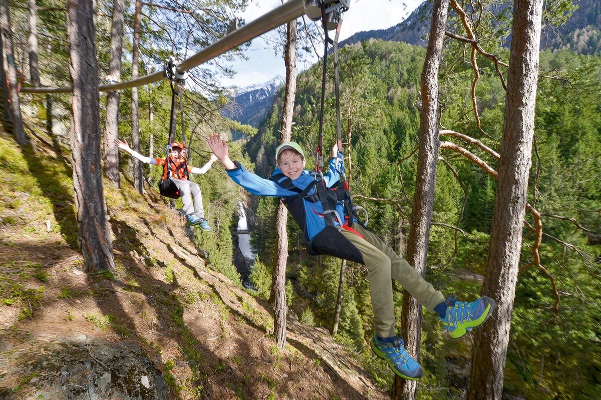
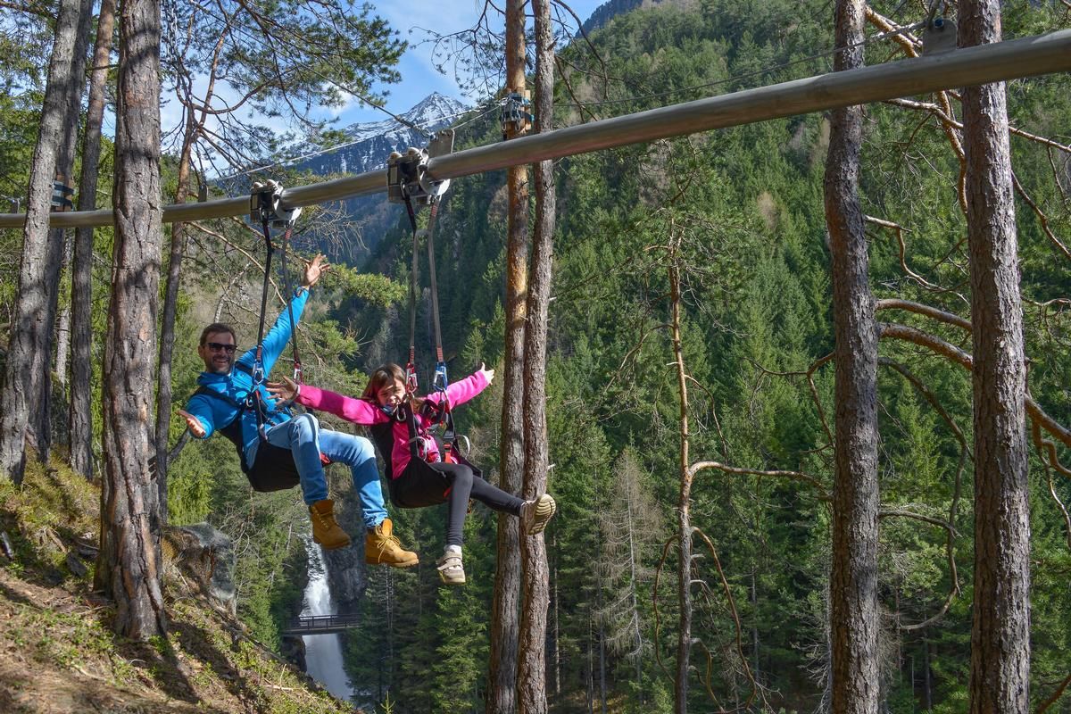
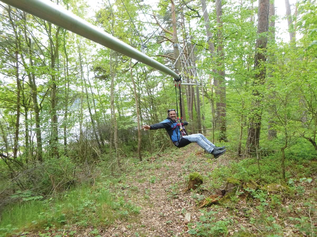
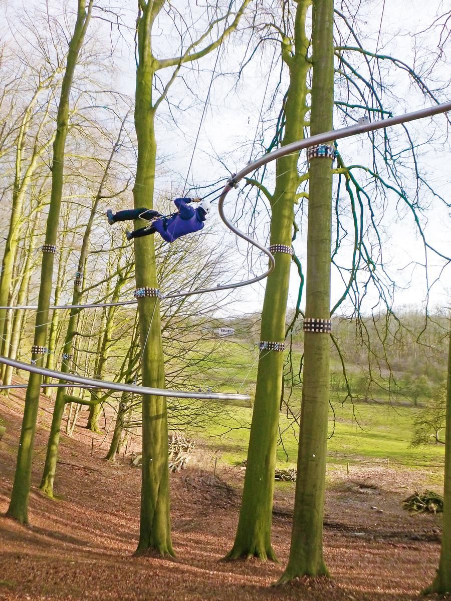
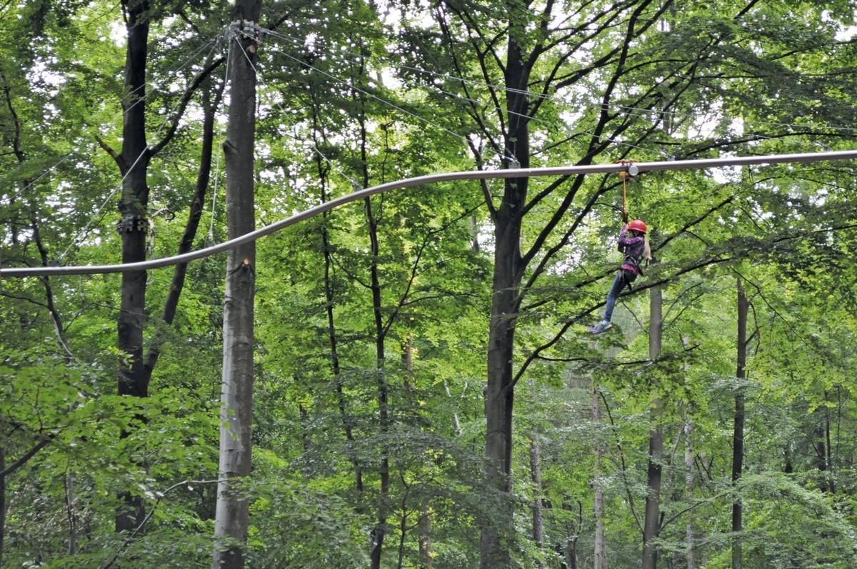
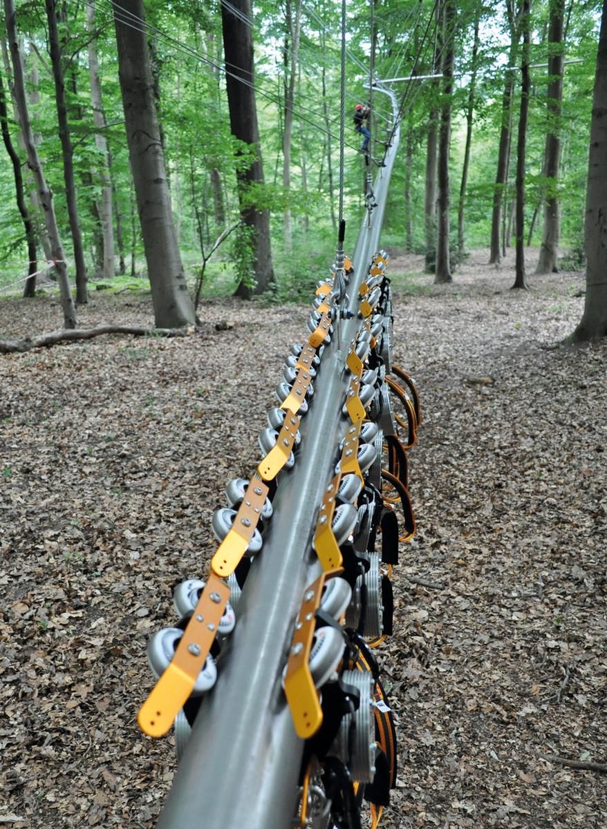
Airy-fairy fun, a few meters above the ground: Safely strapped into a seat belt, visitors explore the forest virtually in a walking flight. A track made of steel tubes points the way. It curves into the surroundings and allows playful changes of direction. Because only gravity serves as the propulsion, the ride goes continuously downhill. The seat belt hangs under a carriage that is braked by centrifugal force and runs on the tube system. Thus, even on steeper descents, the speed does not rise above about 18 km/h, and every 30 seconds a fly-line pilot can safely take to the track.
3-D model of environment and routing necessary
As playfully light as the Fly-Line appears, realizing the course required a very high level of planning. In order to be able to map the Fly-Line in the terrain, a three-dimensional model of the surroundings and the routing is necessary. After hochkant GmbH had already implemented initial projects using a complex manual process, the company brought formTL Ingenieure on board. The goal was to make planning faster and more efficient through the development of object-specific software, and to be able to calculate even longer routes without problems.
New software enables fully automated planning
Thus, formTL's new software enables a fully automated planning process. The runway is mathematically calculated as a line in three-dimensional space and fitted into the intended terrain relief. Although the lightweight construction can be integrated very flexibly into the terrain, the route must not exceed or fall below a gradient of 6 to 15 degrees; the ground clearance must also be maintained. The software automatically develops the Fly-Line route from the starting point to the destination and simultaneously generates a project-specific parts list. This allows the complete design to be calculated with a high degree of precision and, compared to the manual process, with significantly less time required - planning reliability also increases.
This benefits not least the company executing the fly-line, hochkant GmbH from Gestratz-Brugg.
Structure Types

- About this
data sheet - Product-ID
7607 - Published on:
14/09/2018 - Last updated on:
13/09/2021