
.jpg)
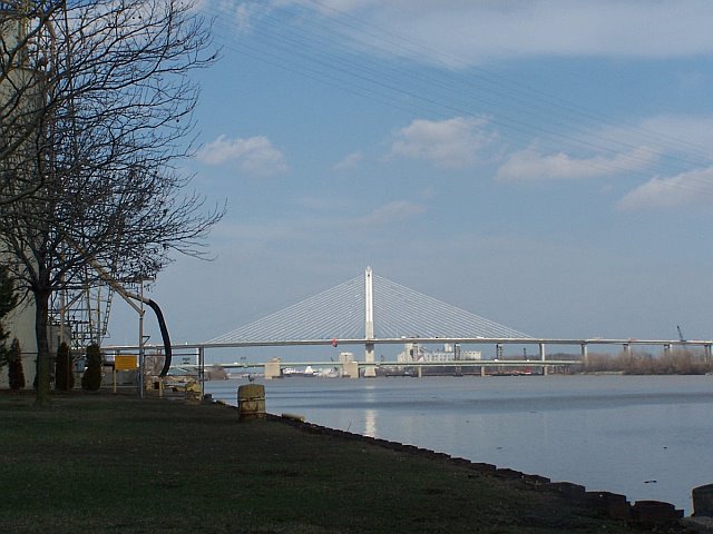
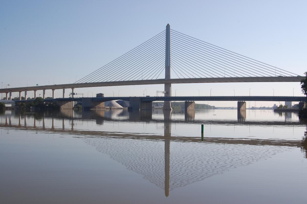
General Information
Project Type
| Structure: |
Two-span single-pylon cable-stayed bridge |
|---|---|
| Function / usage: |
Motorway bridge / freeway bridge |
| Material: |
Prestressed concrete bridge |
| Construction method: |
deck: Precast segmental construction |
Location
| Location: |
Toledo, Lucas County, Ohio, USA |
|---|---|
| Crosses: |
|
| Carries: |
|
| Replaces: |
Robert Craig Memorial Bridge (1957)
|
| Coordinates: | 41° 39' 40.19" N 83° 30' 41.72" W |
Technical Information
Dimensions
| main span | 2 x 187 m | |
| total length | 2 682 m | |
| number of cables | 156 | |
| deck | number of lanes | 6 |
| pylon | height | 122 m |
Cost
| cost of construction | ca. United States dollar 220 000 000 |
Materials
| deck |
precast prestressed concrete
|
|---|
Chronology
| 16 February 2004, 14:30 | During repositioning of the launching truss, the truss collapses killing three workers and injuring five. |
|---|
Participants
Owner
Design
Consulting engineers
Main contractor
Subcontractor

Stay cables
Relevant Web Sites

Relevant Publications
- (2012): Automated Ice Inference and Monitoring on the Veterans' Glass City Skyway Bridge. In: Journal of Bridge Engineering (ASCE), v. 17, n. 6 (November 2012), pp. 975-978.
- (2006): Glass sealing. In: Bridge Design & Engineering, v. 12, n. 42 (1st Quarter 2006), pp. 24-25.
- (2008): The I-280 Veterans' Glass City Skyway. New Landmark Cable-Stayed Bridge, Ohio. In: Structural Engineering International, v. 18, n. 1 (February 2008), pp. 43-48.
- (2006): Investing in beauty. In: Bridge Design & Engineering, v. 12, n. 45 (4th Quarter 2006), pp. 42-43.
- Looking glass. In: Bridge Design & Engineering, v. 13, n. 46 (1st Quarter 2007), pp. 50.
- About this
data sheet - Structure-ID
20004525 - Published on:
16/08/2002 - Last updated on:
18/04/2021
Structurae cooperates with


