
General Information
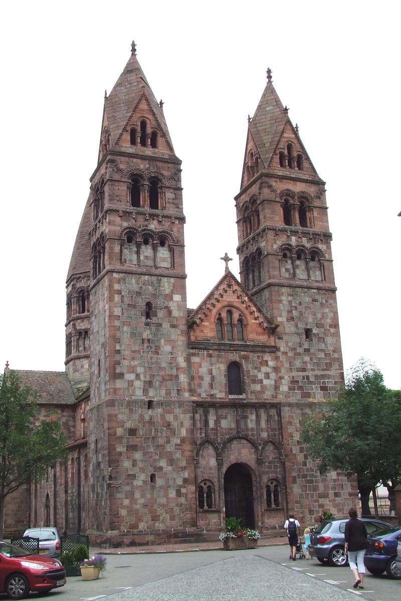
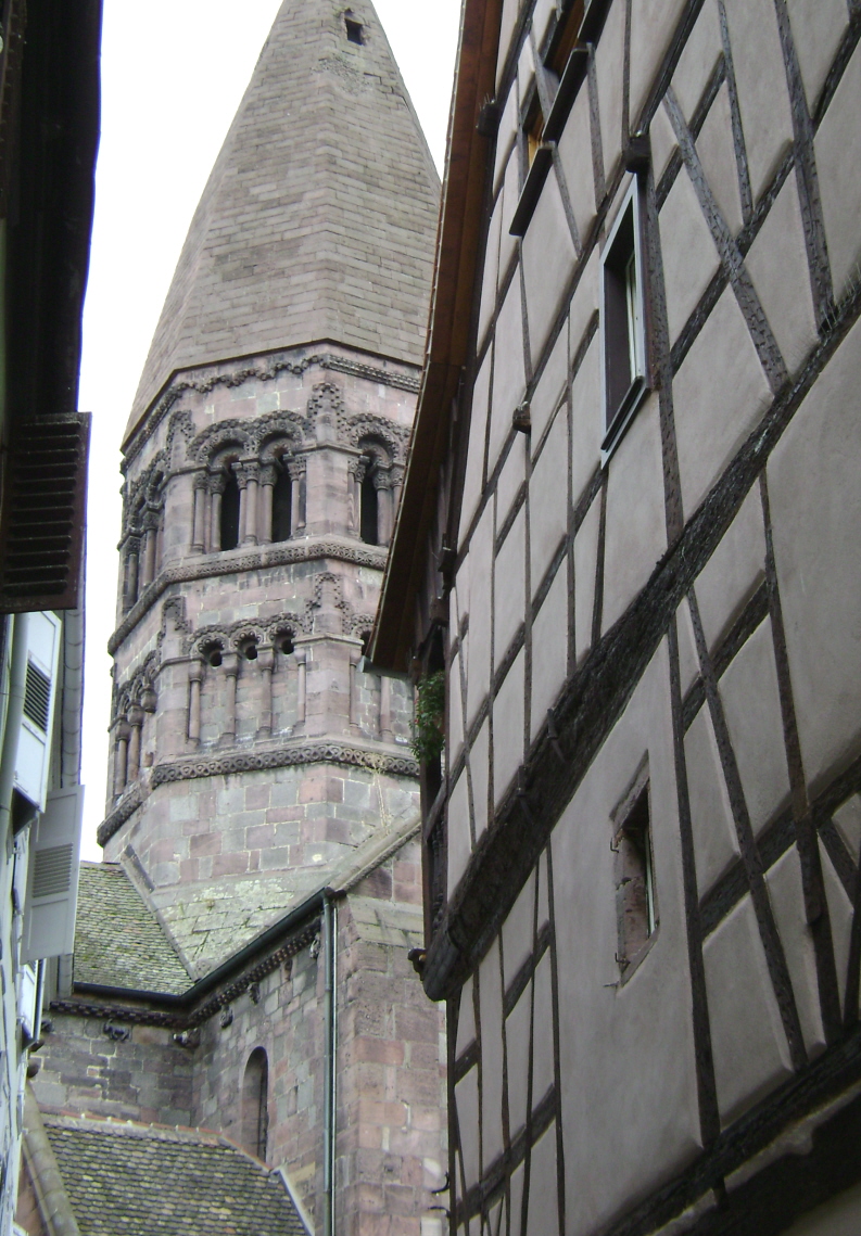
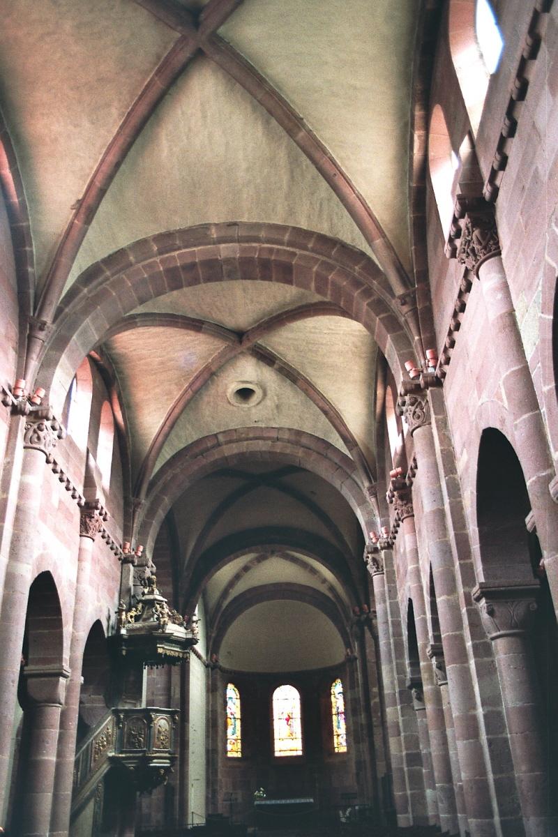
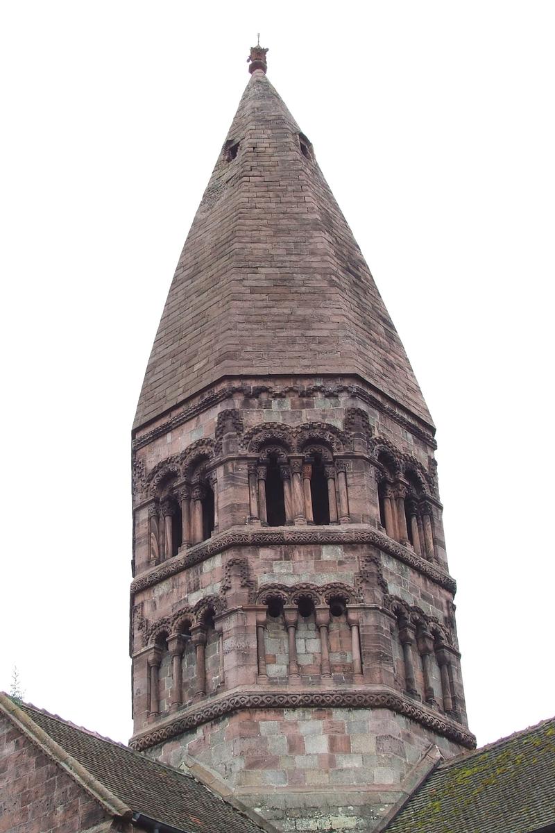
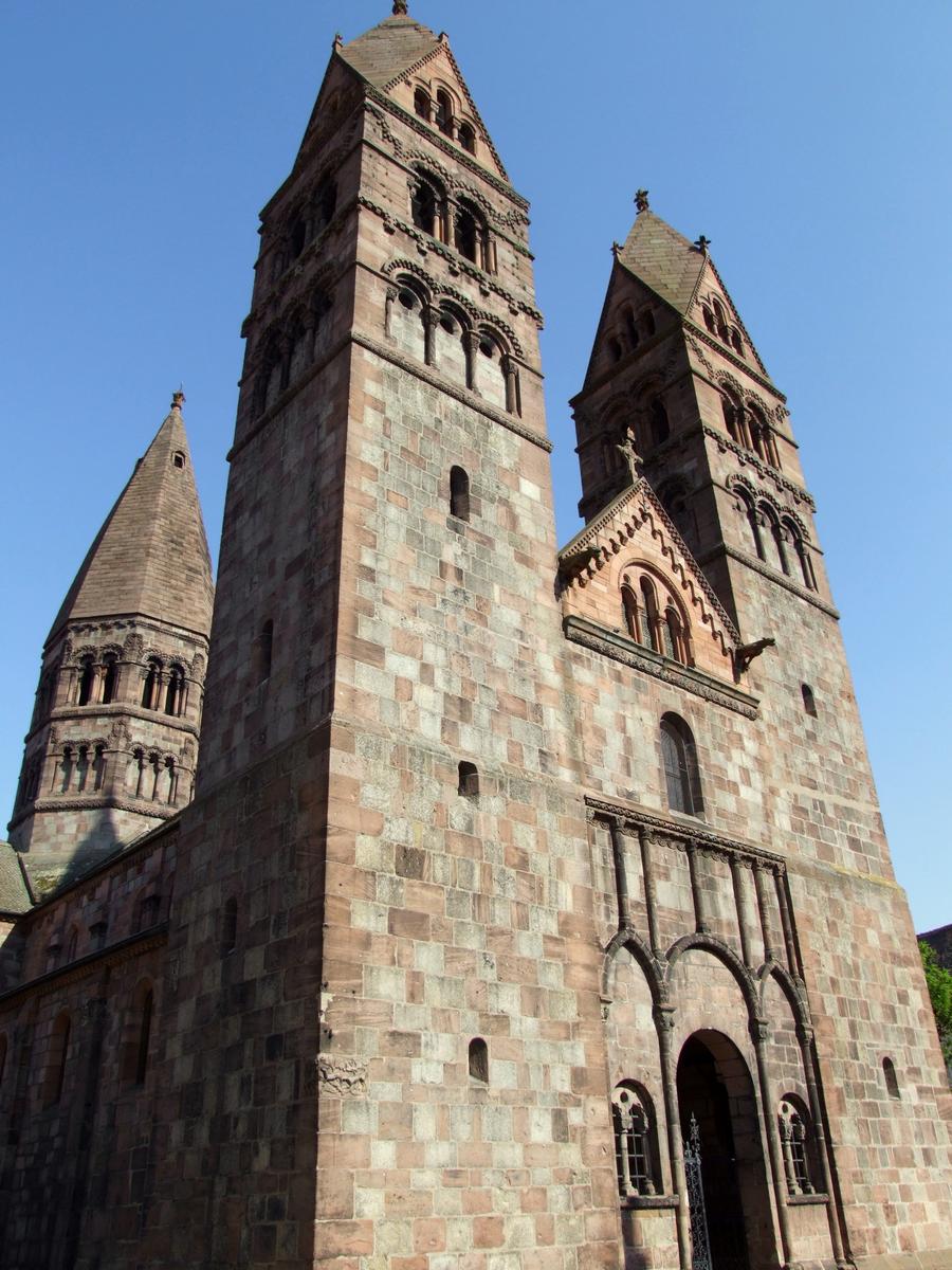
| Other name(s): | Église Sainte-Foy |
|---|---|
| Completion: | 12th century |
| Status: | in use |
Project Type
| Function / usage: |
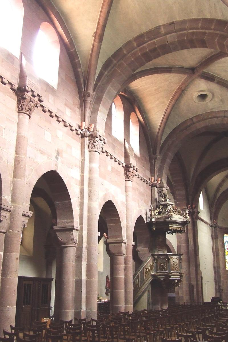
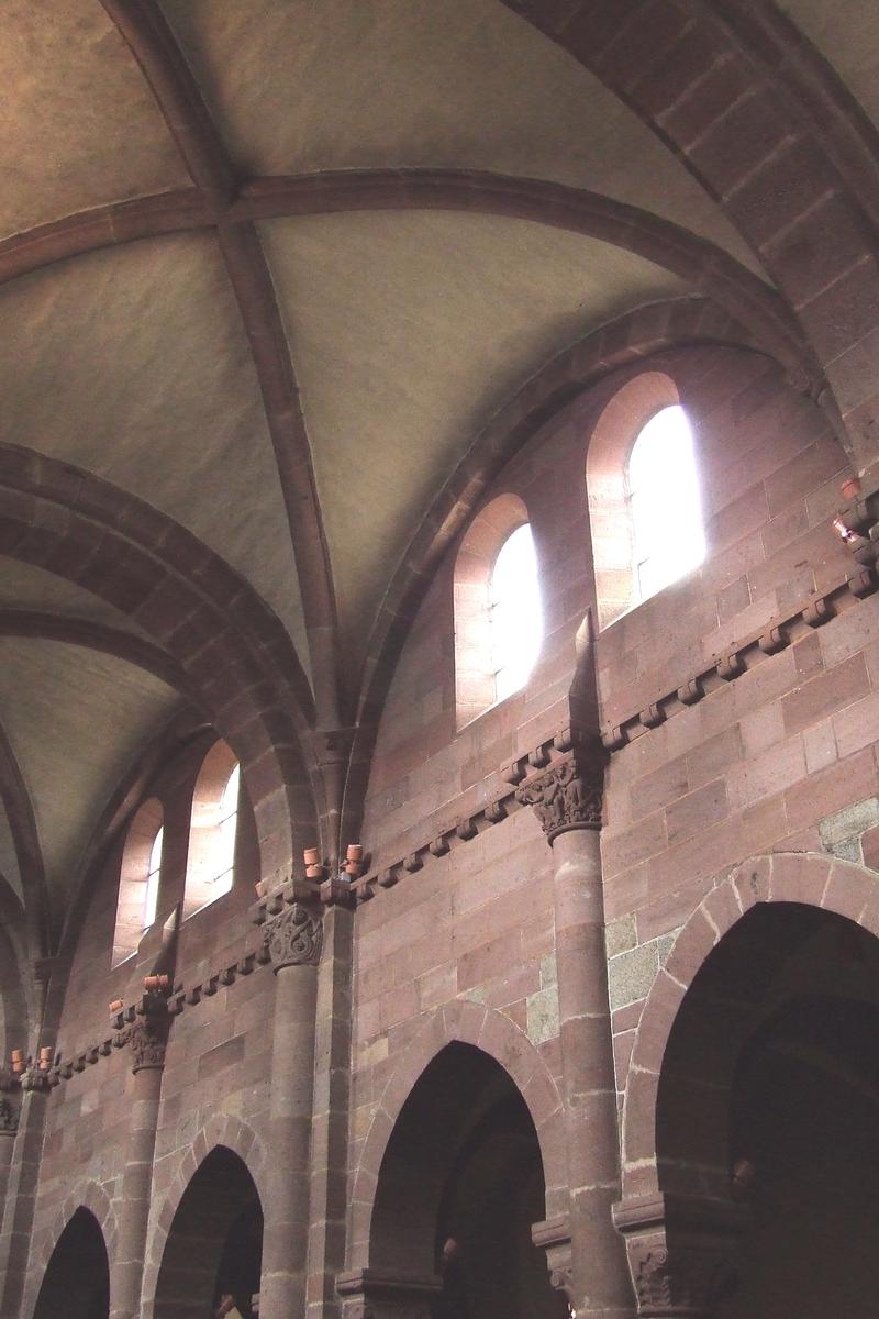
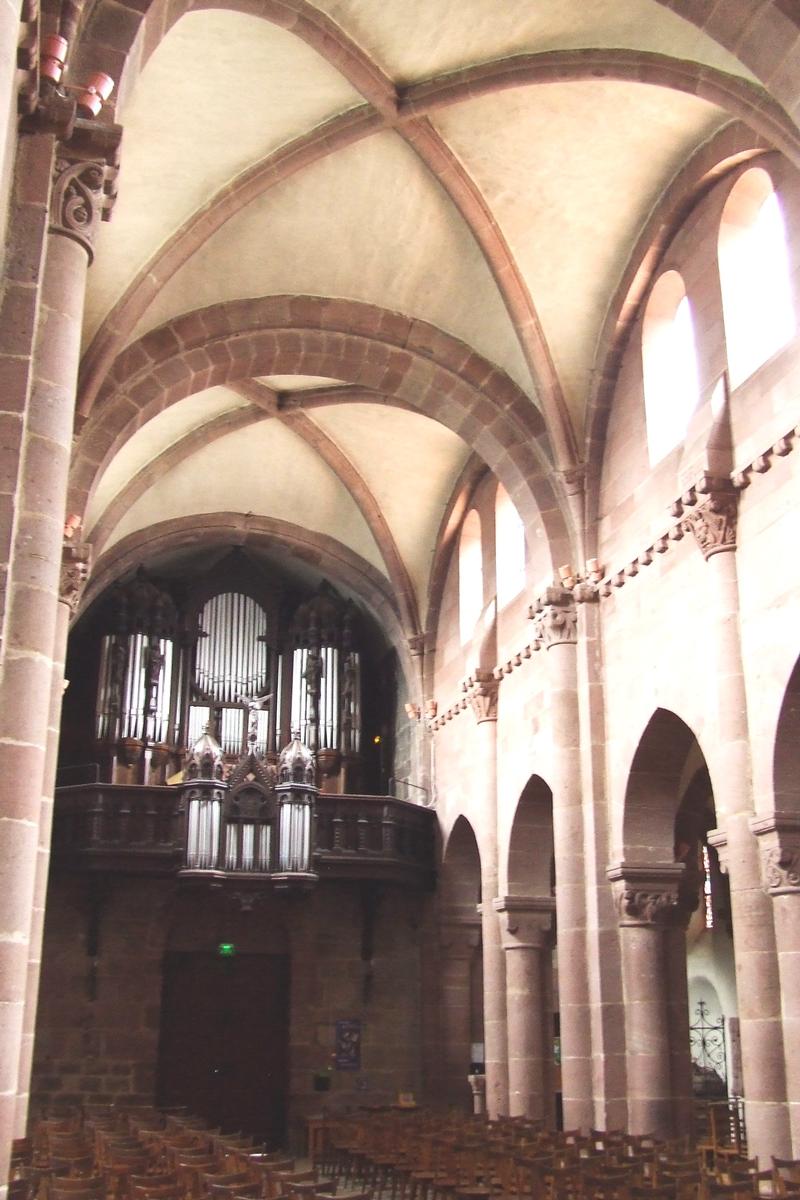
Church |
|---|
Location
| Location: |
Selestat, Bas-Rhin (67), Grand-Est, France |
|---|---|
| Coordinates: | 48° 15' 33.84" N 7° 27' 22" E |
Technical Information
There currently is no technical data available.
Participants
Currently there is no information available about persons or companies having participated in this project.
Relevant Web Sites

Relevant Publications
- (1920): Sélestat. Eglise Sainte-Foy. Presented at: Congrès archéologique de France, 83éme session, Metz, Strasbourg & Colmar, pp. 471-481.
- About this
data sheet - Structure-ID
20028051 - Published on:
08/05/2007 - Last updated on:
28/05/2021
Structurae cooperates with


