
General Information
| Completion: | 1964 |
|---|---|
| Status: | in use |
Project Type
| Structure: |
Deck truss bridge |
|---|---|
| Function / usage: |
Road bridge |
| Material: |
Steel bridge |
Location
| Location: |
Moyie Springs, Boundary County, Idaho, USA |
|---|---|
| Address: | U.S. 2 |
| Coordinates: | 48° 43' 42.94" N 116° 10' 40.91" W |
Technical Information
Dimensions
| main span | 115 m | |
| height | 129 m | |
| total length | 373 m | |
| height above valley floor or water | 141 m |
Materials
| truss |
steel
|
|---|
Excerpt from Wikipedia
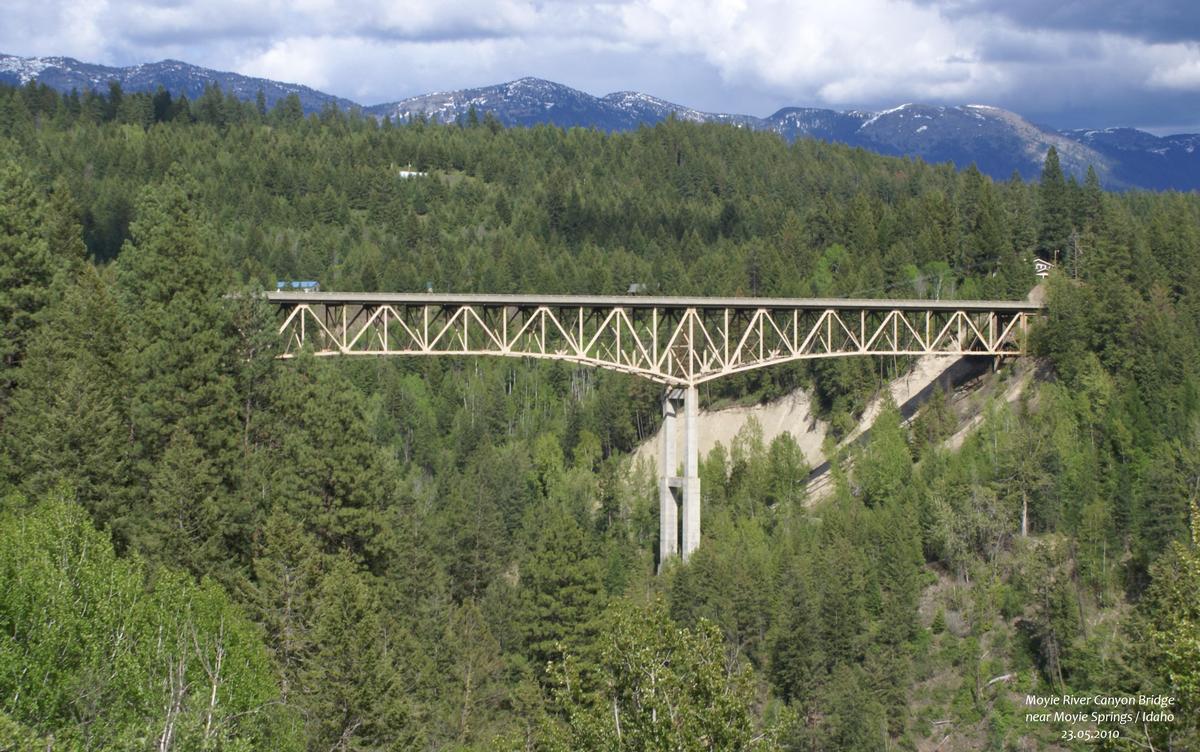
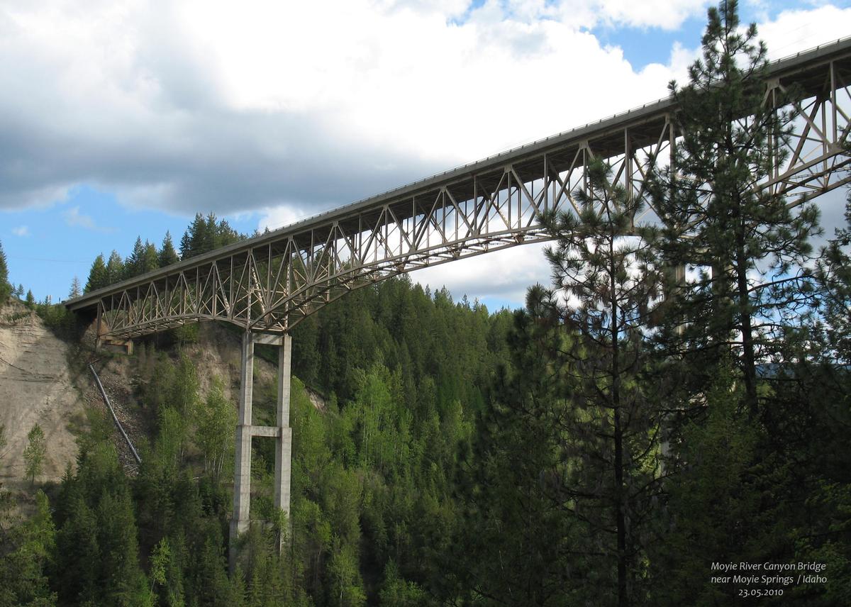
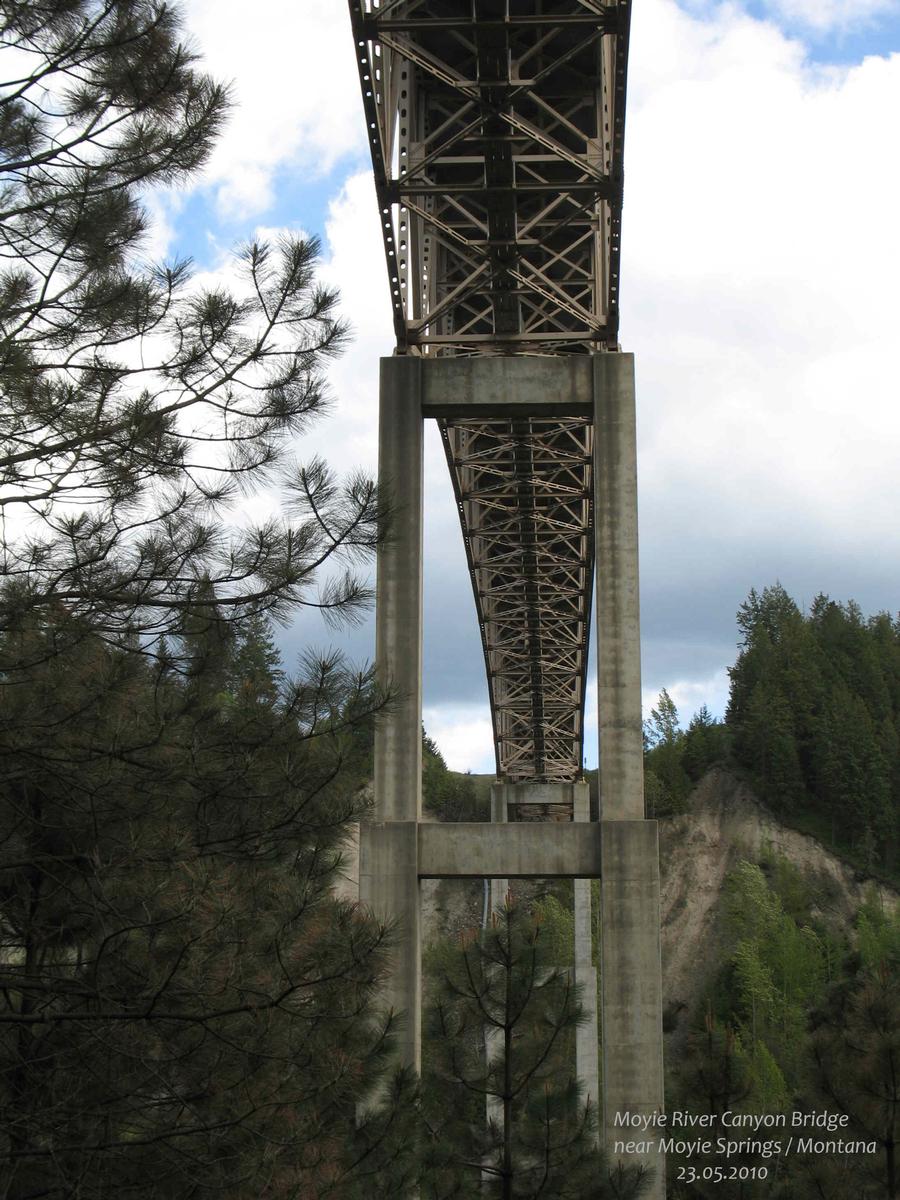
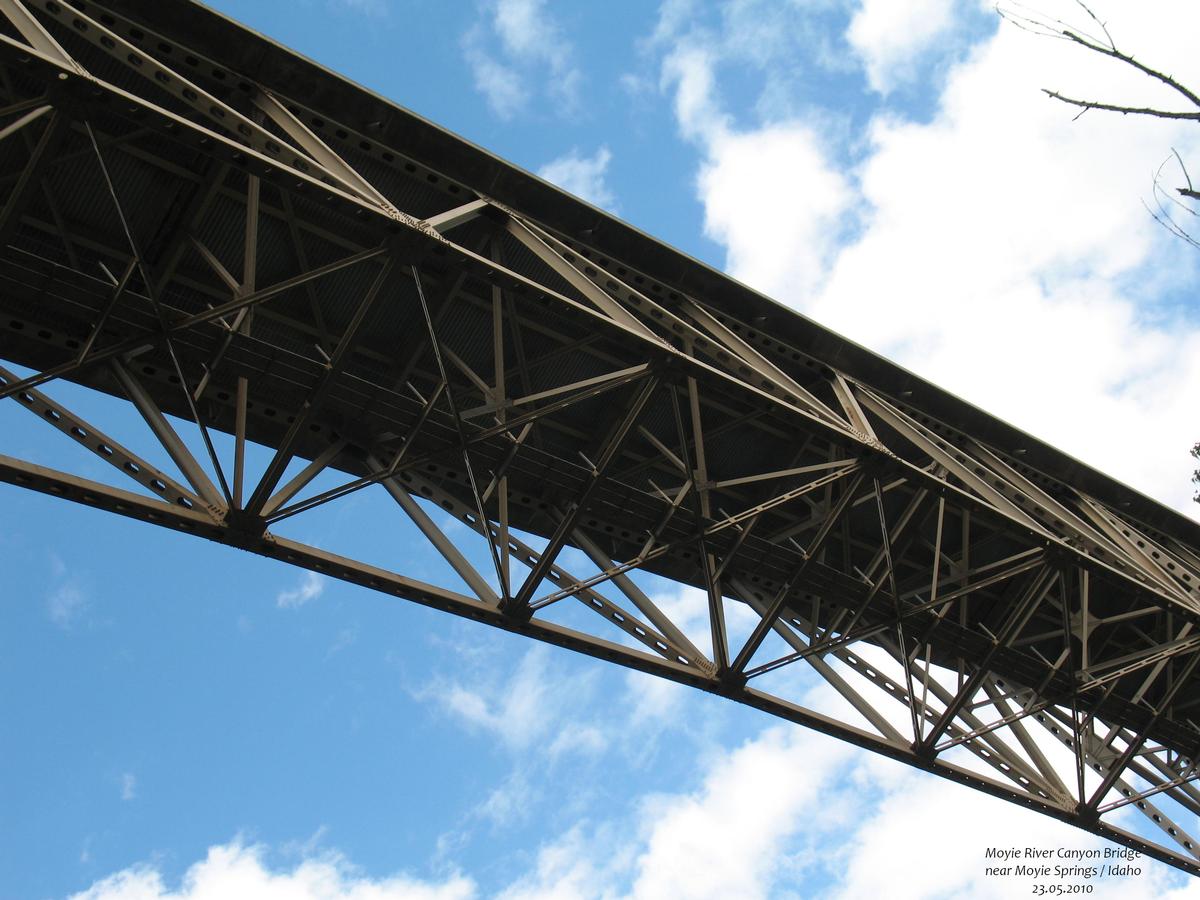
The Moyie River Canyon Bridge is a structural steel truss cantilever bridge that spans the Moyie River in the city of Moyie Springs just east of Bonners Ferry, Idaho. Constructed in 1965, the bridge is on U.S. Route 2 at mile marker 70. The bridge is 1,223 ft (373 m) long and 464 ft (141 m) high, and is a replacement for an obsolete 1923 bridge built downstream from Moyie Dam.
The only higher bridge in Idaho is the 476-foot (145 m) high Perrine Bridge which crosses the Snake River near Twin Falls, Idaho. Both bridges are among the highest bridges in the United States.
Text imported from Wikipedia article "Moyie River Canyon Bridge" and modified on July 23, 2019 according to the CC-BY-SA 4.0 International license.
Participants
Currently there is no information available about persons or companies having participated in this project.
Relevant Web Sites

- About this
data sheet - Structure-ID
20052568 - Published on:
04/02/2010 - Last updated on:
05/02/2016


