
General Information
Project Type
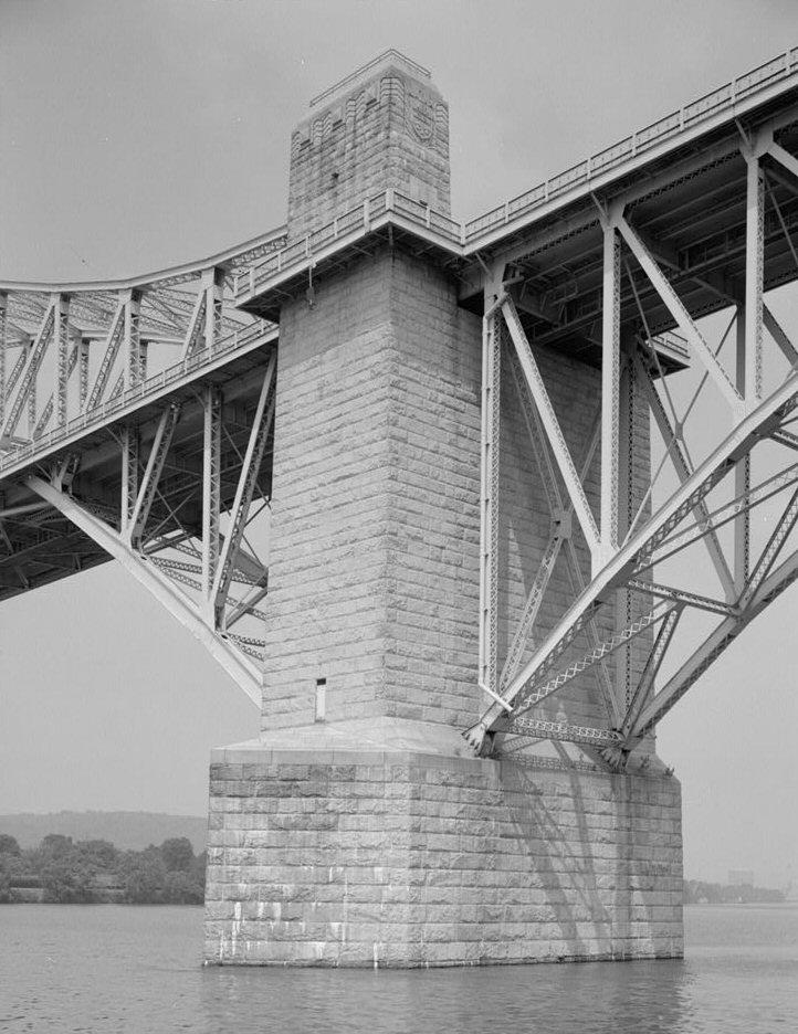
| Structure: |
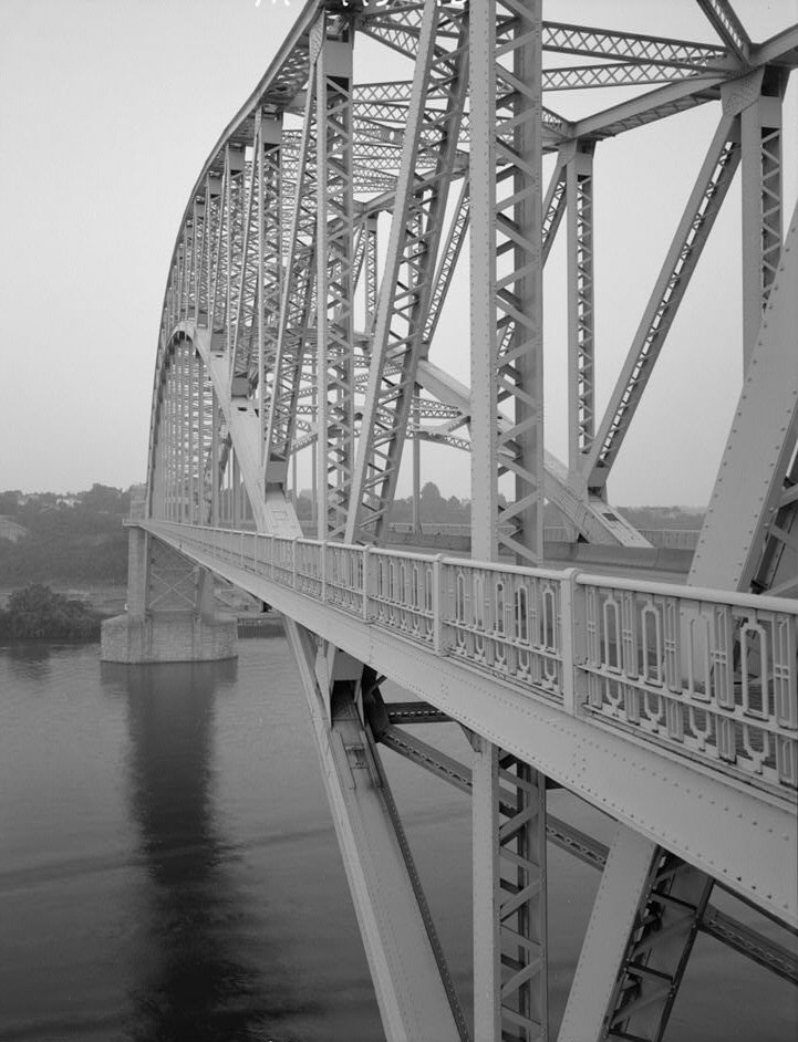
Truss arch bridge |
|---|---|
| Function / usage: |
Road bridge |
| Material: |
Steel bridge |
Awards and Distinctions
| 2003 |
for registered users |
|---|
Location
| Location: |
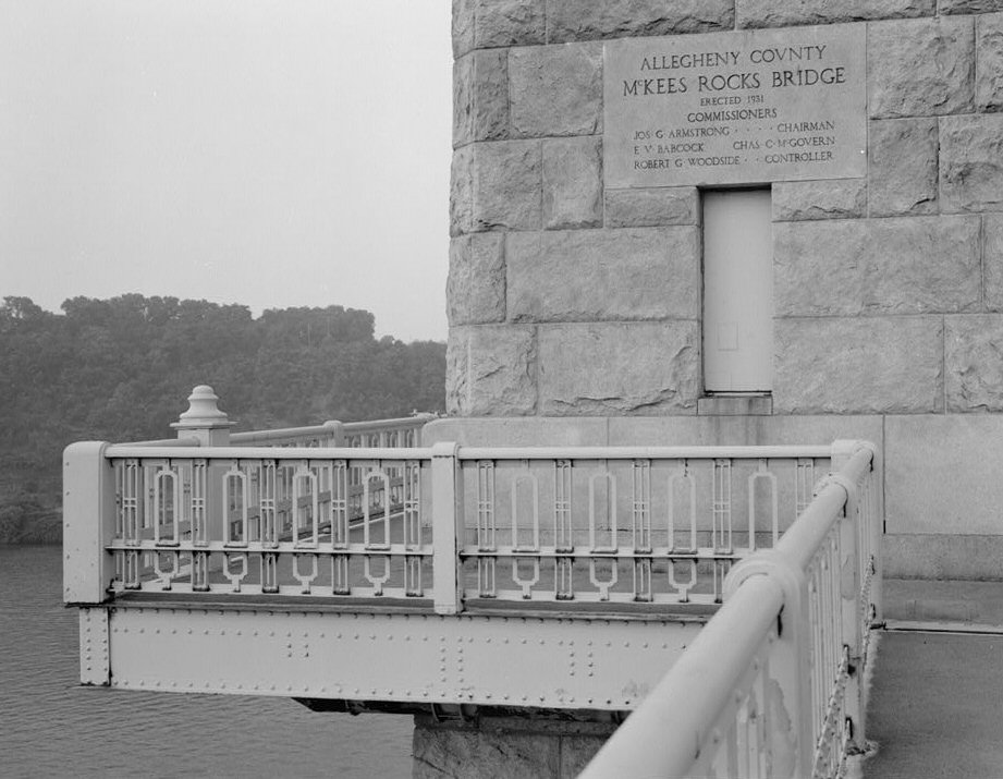
Pittsburgh, Allegheny County, Pennsylvania, USA McKees Rocks, Allegheny County, Pennsylvania, USA |
|---|---|
| Crosses: |
|
| Coordinates: | 40° 28' 37" N 80° 2' 53" W |
Technical Information
Dimensions
| main span | 228.6 m | |
| total length | 2 225.0 m |
Materials
| arch |
steel
|
|---|---|
| truss |
steel
|
Chronology
| 12 August 1929 | Construction of the bridge begins. |
|---|---|
| 19 August 1931 | McKee's Rocks Bridge is dedicated and officially opened to traffic. |
Excerpt from Wikipedia
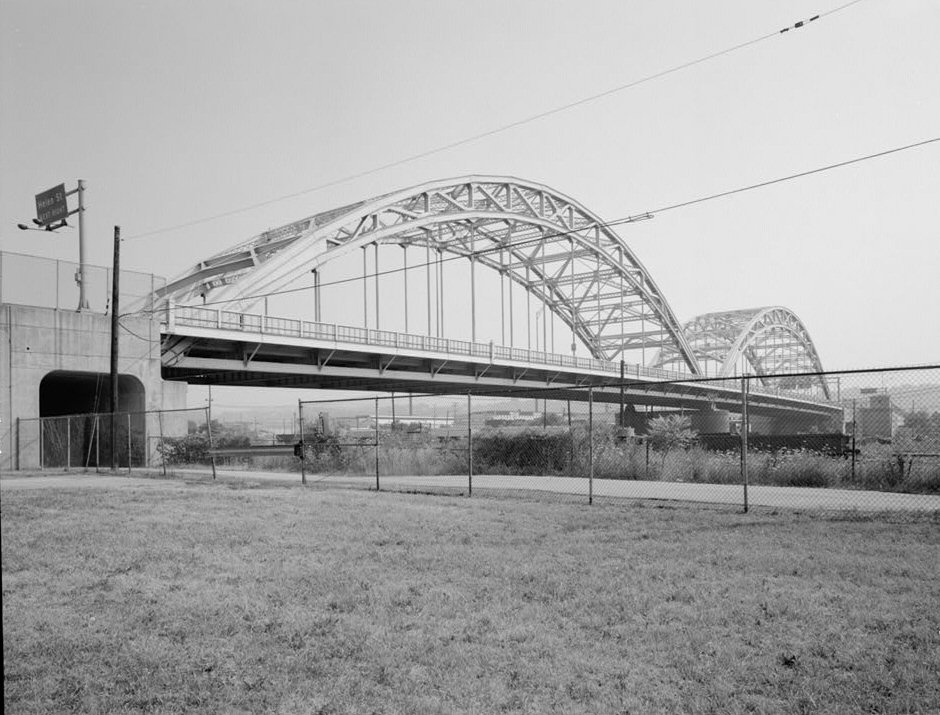
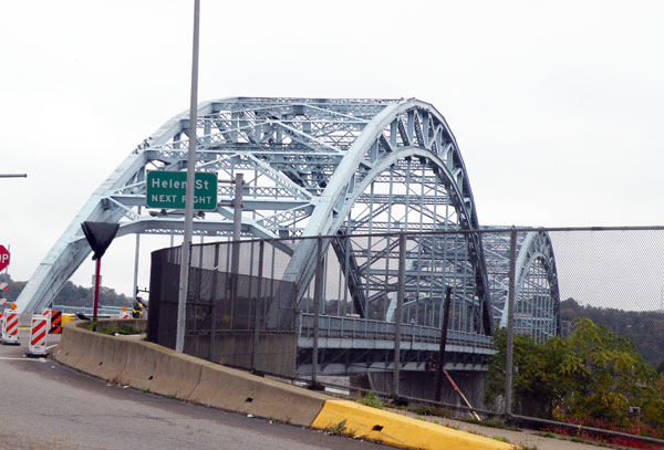
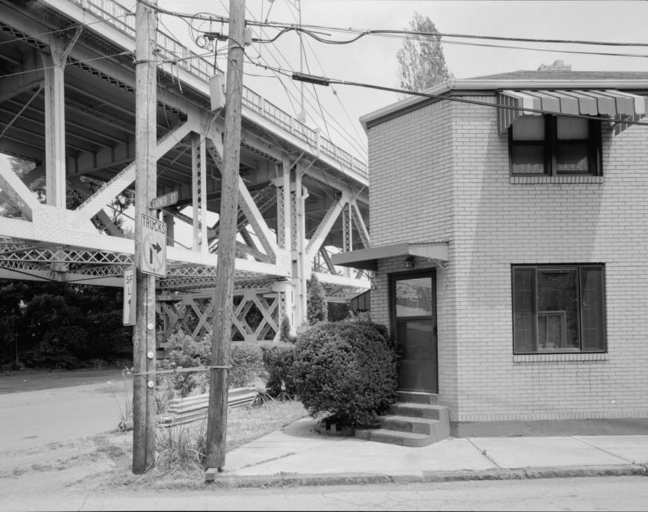
The McKees Rocks Bridge is a steel trussed through arch bridge which carries the Blue Belt, Pittsburgh's innermost beltline, across the Ohio River at Brighton Heights and McKees Rocks, Pennsylvania, west of the city.
At 7,293 feet (2,223 m) long, it is the longest bridge in Allegheny County.
Built in 1931, it was listed on the National Register of Historic Places in 1988.
Text imported from Wikipedia article "McKees Rocks Bridge" and modified on July 23, 2019 according to the CC-BY-SA 4.0 International license.
Participants
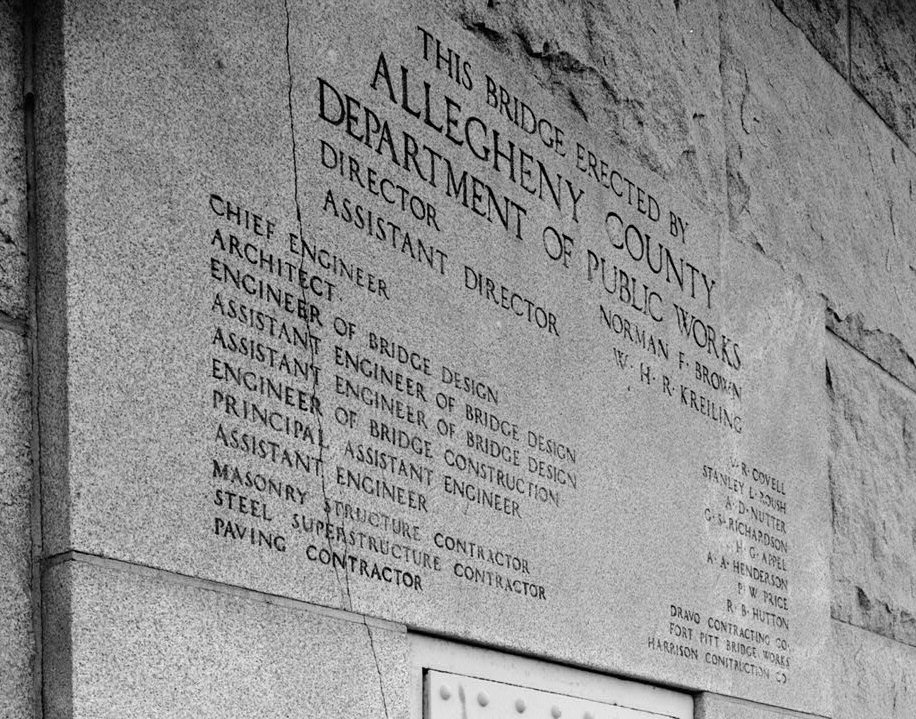
- Vernon R. Covell (chief engineer)
- Alfred D. Nutter (design engineer)
Architecture
- Stanley L. Roush (architect)
- George S. Richardson (assistant design engineer)
- H. G. Appel (assistant design engineer)
- A. A. Henderson (engineer of construction)
Contractor
- Dravo Construction Co. (substructure)
- Fort Pitt Bridge Works (superstructure)
Relevant Web Sites

- About this
data sheet - Structure-ID
20006132 - Published on:
11/10/2002 - Last updated on:
05/02/2016
Structurae cooperates with


