
General Information
Project Type
| Structure: |
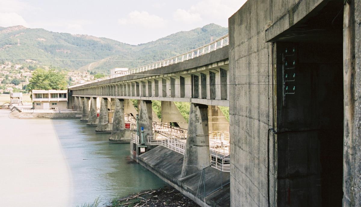
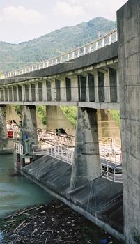
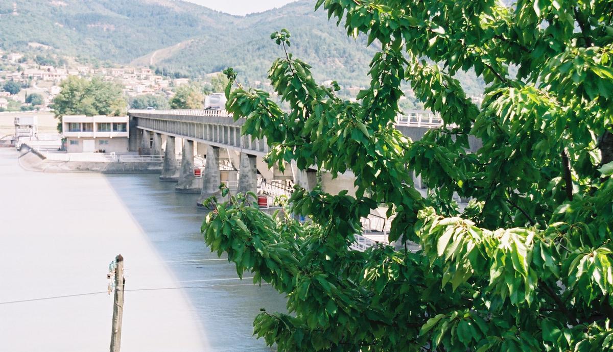
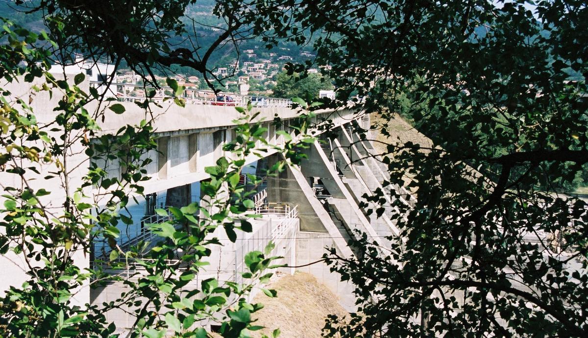
Gravity dam |
|---|---|
| Function / usage: |
Hydroelectric dam / plant Road bridge |
| Structure: |
Girder bridge |
| Construction method: |
Precast girders with cast-in-situ slab |
| Material: |
Prestressed concrete bridge Concrete dam |
Location
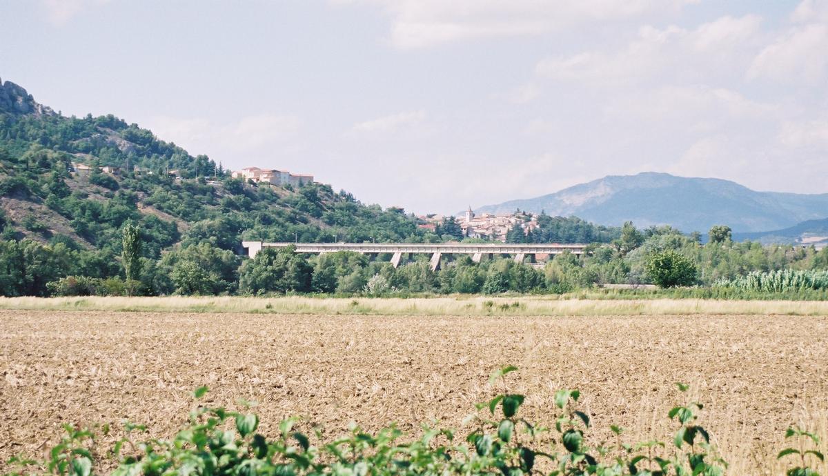
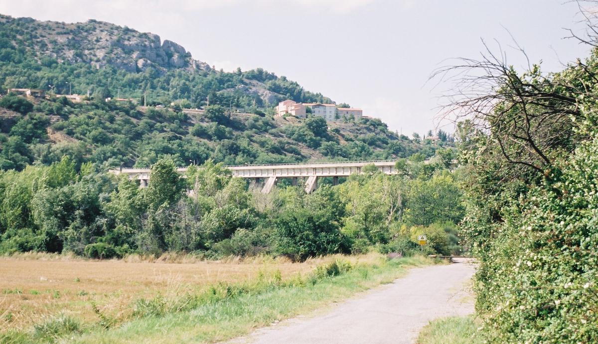
| Location: |
L'Escale, Alpes-de-Haute-Provence (04), Provence-Alpes-Côte d'Azur, France Château-Arnoux-Saint-Auban, Alpes-de-Haute-Provence (04), Provence-Alpes-Côte d'Azur, France |
|---|---|
| Impounds: |
|
| Replaces: |
Trébaste Bridge (1837)
|
| Coordinates: | 44° 5' 8.08" N 6° 0' 42.65" E |
Technical Information
Dimensions
| dam structure | height | 30.00 m |
| retained water volume | 15.70 hm³ | |
| crest length | 760.00 m | |
| crest thickness | 10.00 m | |
| base thickness | 48.90 m | |
| dam volume | 75 000 m³ | |
| deck | length | 126 m |
| roadway / carriageway width | 7 | |
| walkway width | 2 x 1.45 m |
Materials
| deck |
precast prestressed concrete
|
|---|
Chronology
| 1962 | Dam enters into service. |
|---|
Participants
Owner
Relevant Web Sites
There currently are no relevant websites listed.
Relevant Publications
- (1964): Aménagement d'Oraison sur la Durance. Le barrage de l'Escale. In: Travaux, n. 353 (April 1964), pp. 249.
- (2006): D'une rive à l'autre. Les ponts de Haute-Provence de l'Antiquité à nos jours. Les Alpes de lumière, Forcalquier (France), pp. 68-69.
- About this
data sheet - Structure-ID
20003788 - Published on:
22/06/2002 - Last updated on:
05/02/2016
Structurae cooperates with


