
General Information
| Completion: | 1986 |
|---|---|
| Status: | in use |
Project Type
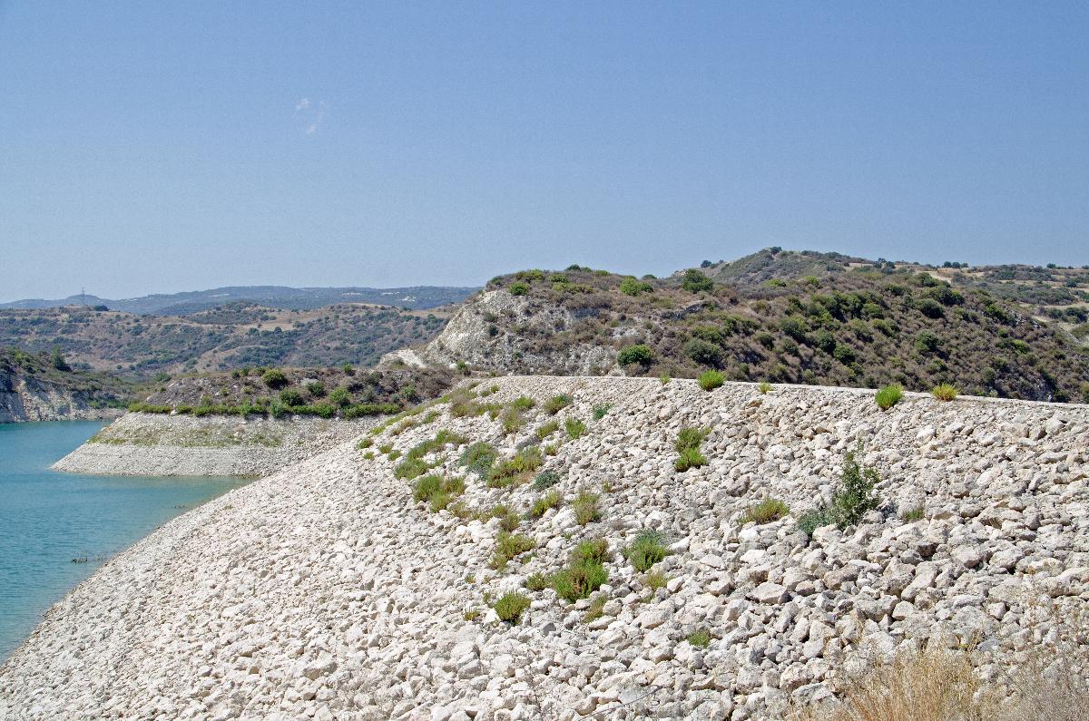
| Structure: |
Rockfill dam |
|---|---|
| Function / usage: |
Irrigation & industrial water dam |
Location
Technical Information
Dimensions
| height | 70 m | |
| crest length | 260 m | |
| reservoir capacity | 24 000 000 m³ | |
| dam volume | 1 400 000 m³ | |
| water surface area | 1 250 000 m² | |
| spillway | length | 182 m |
| spillway capacity | 360 m³/s |
Cost
| cost of construction | 18 000 000 |
Participants
Currently there is no information available about persons or companies having participated in this project.
Relevant Web Sites

- About this
data sheet - Structure-ID
20041620 - Published on:
24/12/2008 - Last updated on:
13/02/2023
Structurae cooperates with


