
General Information
| Completion: | 1931 |
|---|---|
| Status: | in use |
Project Type
| Structure: |
Earthfill dam |
|---|---|
| Function / usage: |
Irrigation & industrial water dam |
Location
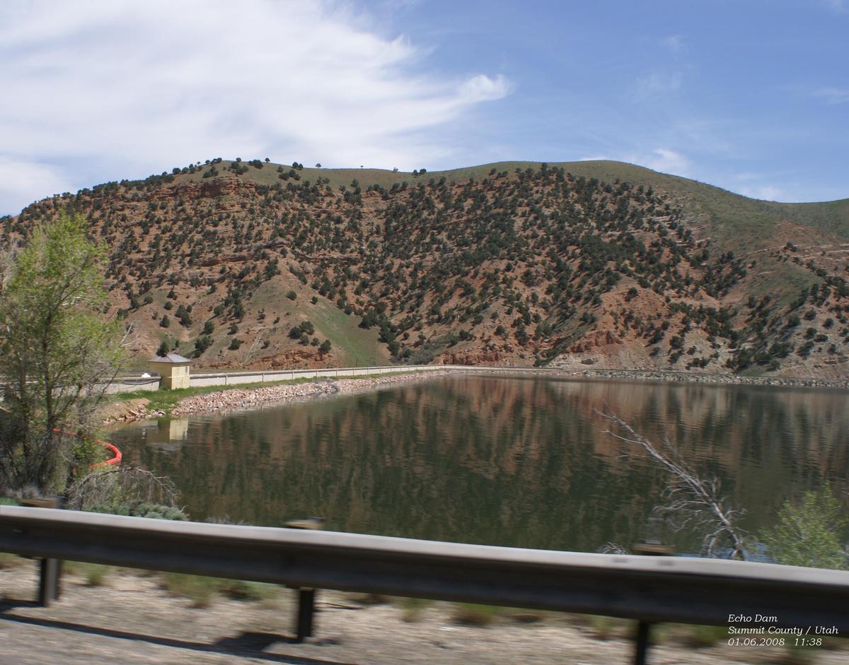
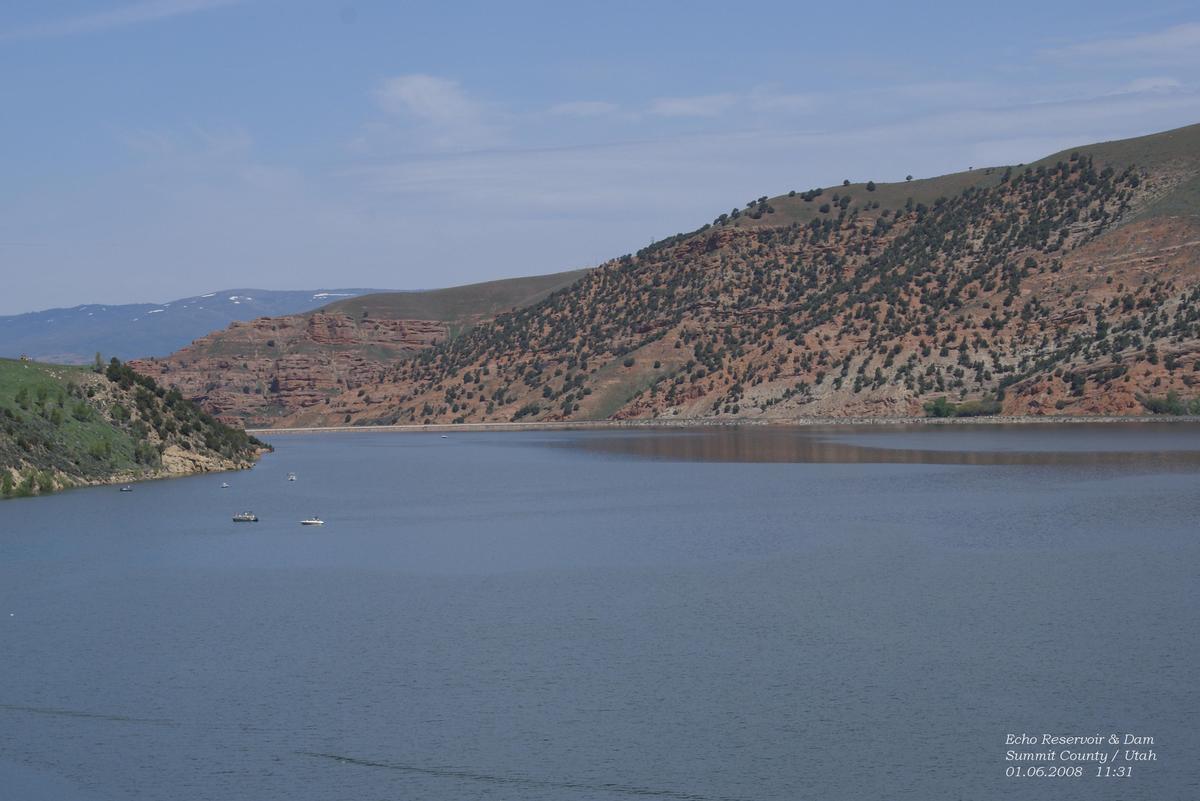
| Location: |
Echo, Summit County, Utah, USA |
|---|---|
| Impounds: |
|
| Coordinates: | 40° 57' 56.11" N 111° 25' 50.01" W |
Technical Information
Dimensions
| height | 48.16 m | |
| length | 575.16 m |
Participants
Design
Relevant Web Sites

Relevant Publications
- (1984): Great American Bridges and Dams. A National Trust Guide. John Wiley & Sons, New York (USA), pp. 307.
- About this
data sheet - Structure-ID
20003697 - Published on:
18/06/2002 - Last updated on:
30/12/2019
Structurae cooperates with


