
General Information
Project Type
| Structure: |
Semi-circular arch bridge |
|---|---|
| Function / usage: |
Road bridge |
| Material: |
Masonry bridge Structurae Plus/Pro - Subscribe Now! |
Location
| Location: |
Rome, Roma, Lazio, Italy |
|---|---|
| Crosses: |
|
| Coordinates: | 41° 53' 21.67" N 12° 28' 45.79" E |
Technical Information
Dimensions
| number of spans | 6 |
Materials
| piers |
stone
|
|---|---|
| arches |
stone
|
Chronology
| 1229 | Destroyed by flooding. |
|---|---|
| 1231 | Reconstructed. |
| 1289 | Destroyed again by flooding. Not reconstructed. |
Notes
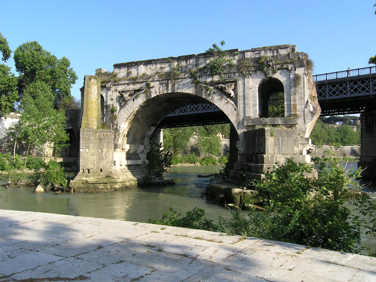
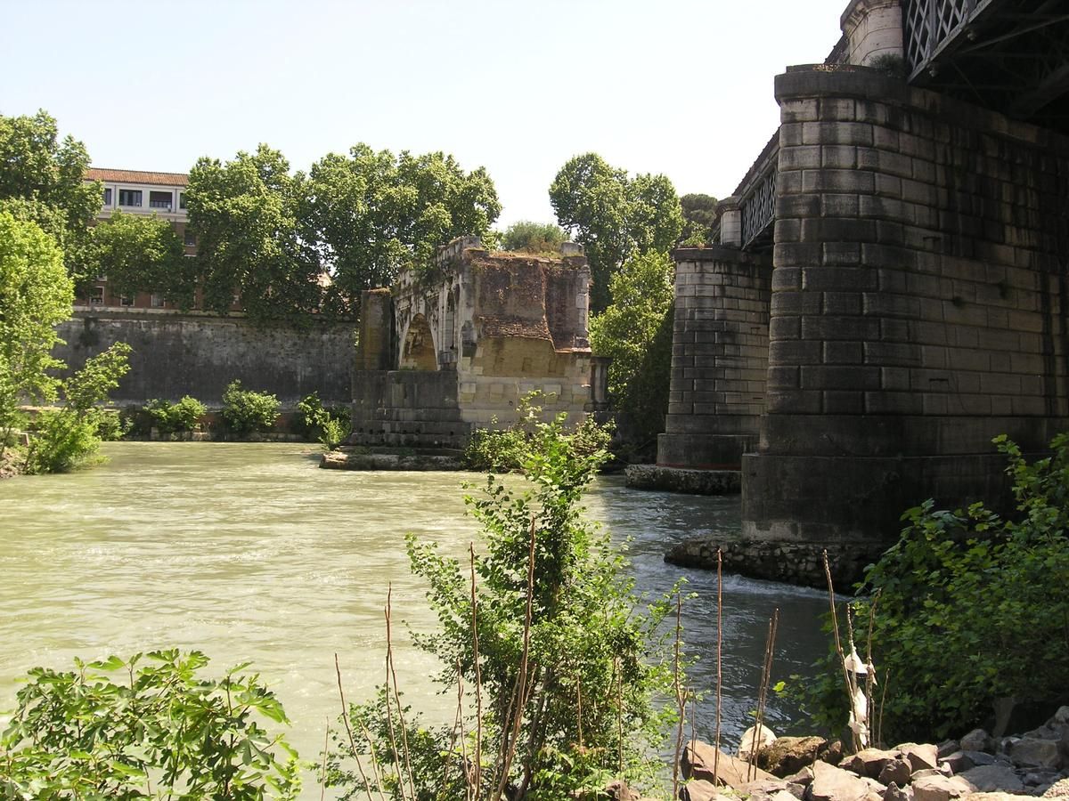
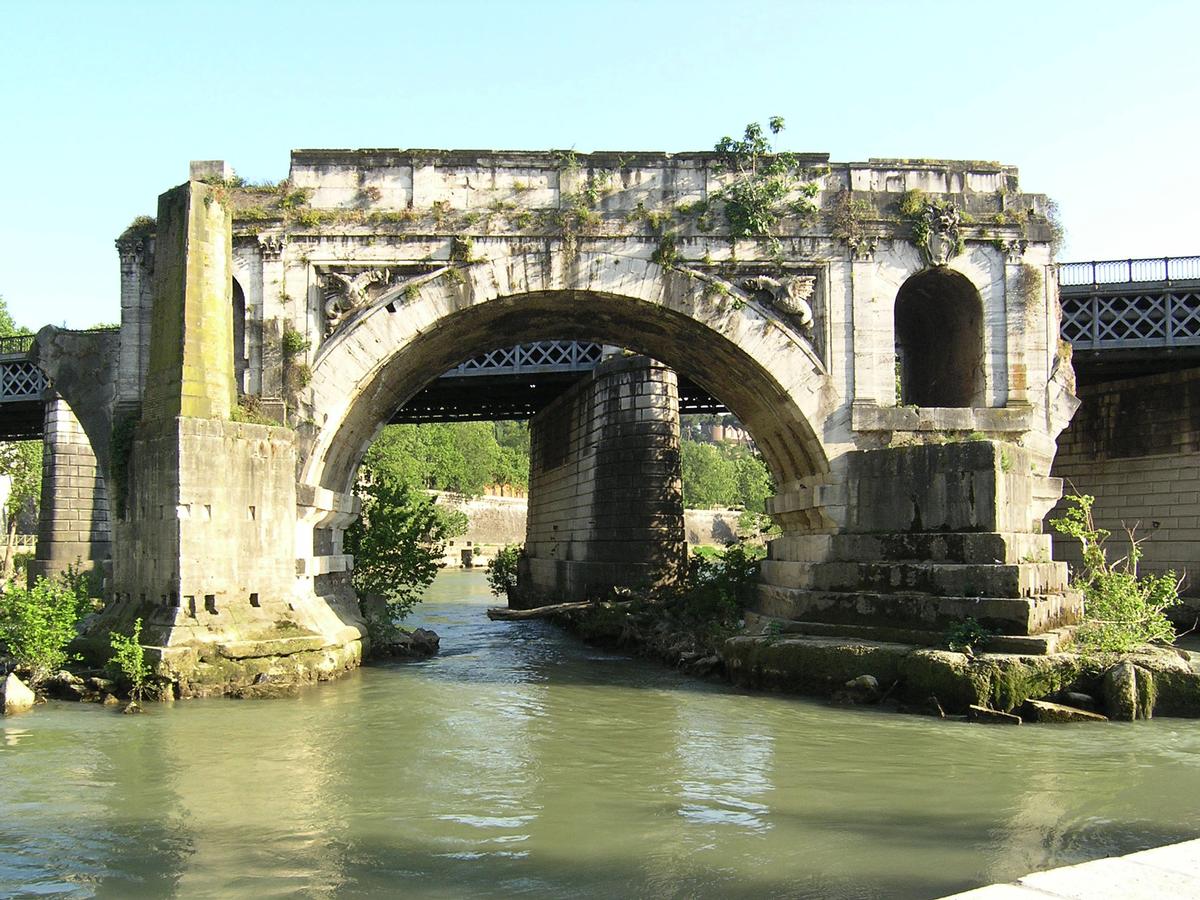
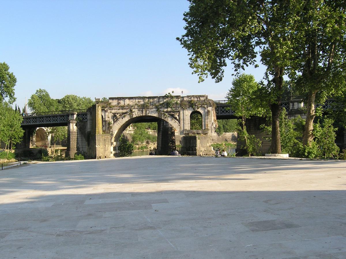
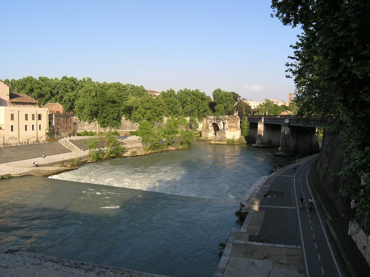
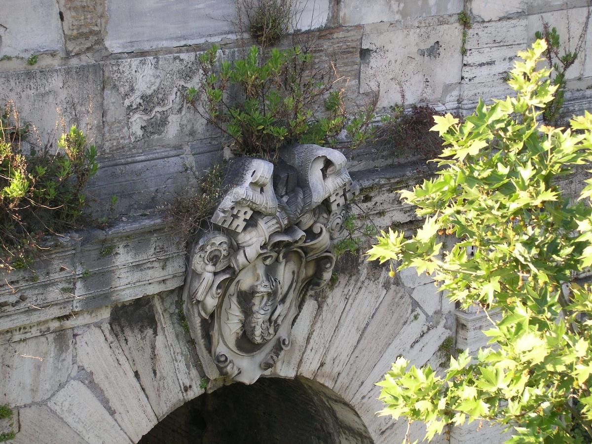
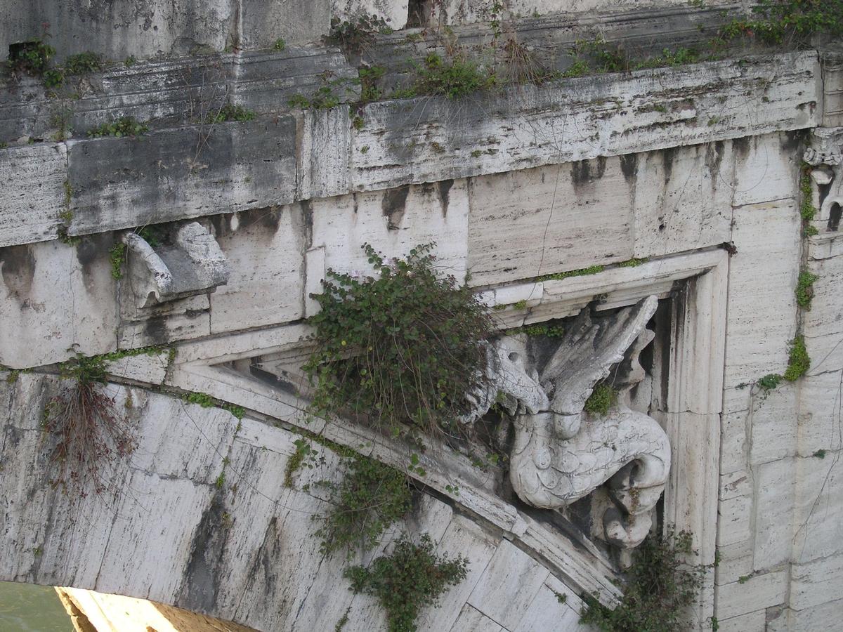
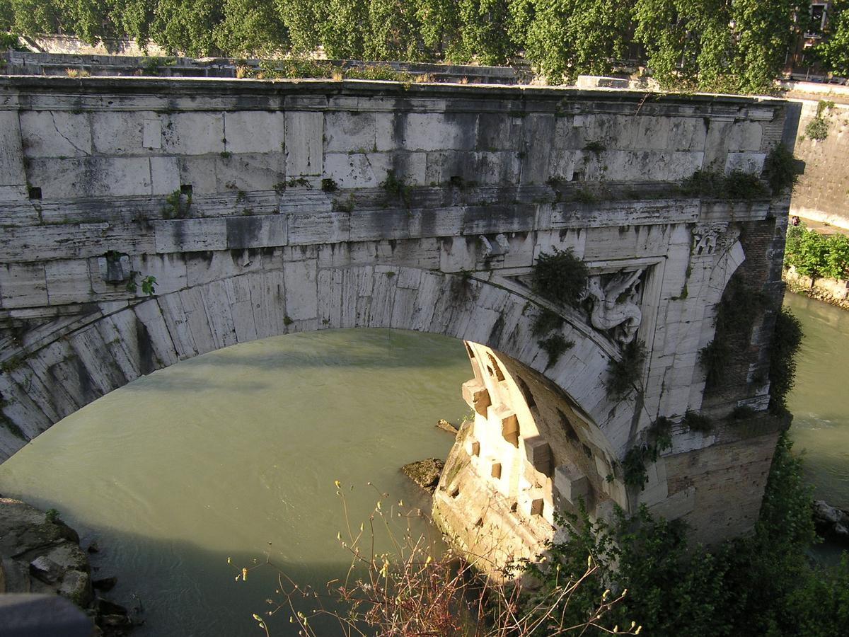
Only one span remains of this bridge that served for more than 1000 years. It is commonly called "Ponte Rotto" or "Broken Bridge".
Participants
Currently there is no information available about persons or companies having participated in this project.
Relevant Web Sites

Relevant Publications
- (1997): Brunnen - Brücken - Aquädukte. Berichte zum Bauen in der Antike. In: Bautechnik ( 1997), pp. 1-106.
- (1997): Geschichte der Baukonstruktion und Bautechnik. Band 1: Antike bis Renaissance. 2nd edition, Werner-Verlag, Düsseldorf (Germany), pp. 103.
- (2015): Toward the Interactive 3D Modelling Applied to Ponte Rotto in Rome. In: Nexus Network Journal, v. 17, n. 1 (February 2015), pp. 55-71.
- About this
data sheet - Structure-ID
20001261 - Published on:
03/02/2001 - Last updated on:
24/06/2022
Structurae cooperates with


