
General Information
Project Type
| Function / usage: |
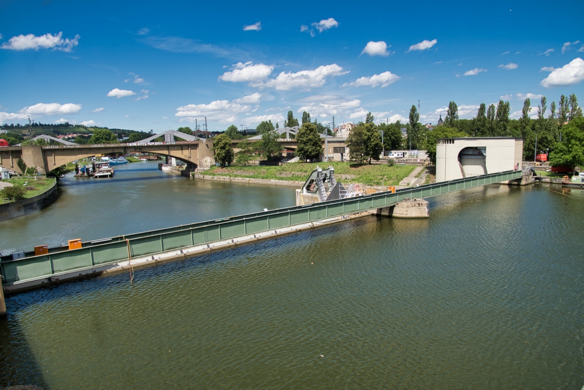
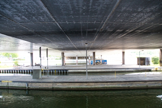
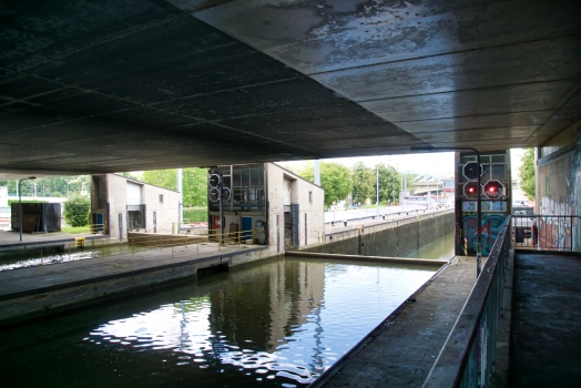
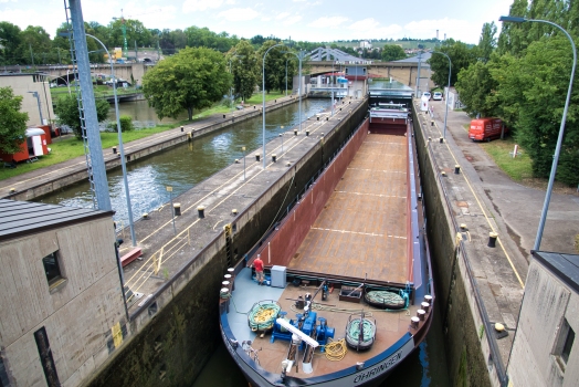
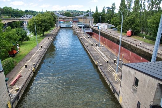
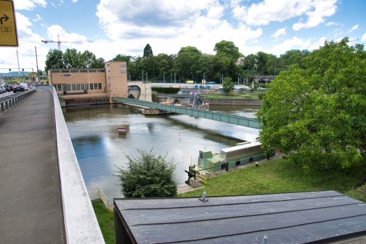
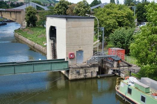
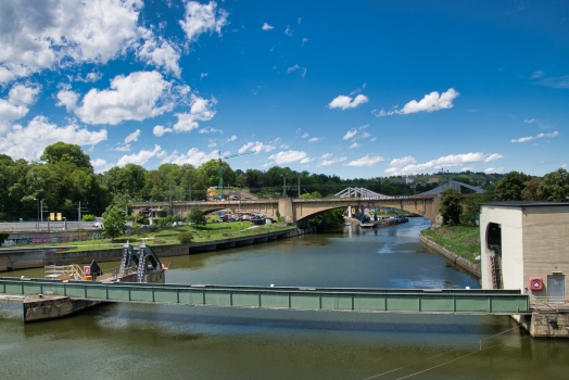
Flood-control dam |
|---|
Location
| Location: |
Bad Cannstatt, Stuttgart, Baden-Württemberg, Germany |
|---|---|
| Impounds: |
|
| Near: |
König-Karls-Brücke (1976)
|
| Coordinates: | 48° 47' 59.97" N 9° 12' 37.36" E |
Technical Information
Dimensions
| width | 12 m | |
| length | 107.5 m | |
| height difference | 5.4 m | |
| bridge | height above valley floor or water | 5.8 m |
Participants
Architecture
- Paul Bonatz (architect)
Relevant Web Sites
There currently are no relevant websites listed.
Relevant Publications
- (1997): Stuttgart - Ein Architekturführer. 2nd edition, Dietrich Reimer Verlag, Berlin (Germany), pp. 144 [# 229].
- About this
data sheet - Structure-ID
20026012 - Published on:
01/02/2007 - Last updated on:
23/07/2020
Structurae cooperates with


