
Dimensions
| total length | 120 m |
 International Database and Gallery of Structures
| Name in local language: | Pont de Saint-Nicolas-de-Campagnac |
|---|---|
| Beginning of works: | 1245 |
| Completion: | 1260 |
| Status: | in use |
| Structure: |
Pointed arch bridge |
|---|---|
| Function / usage: |
Road bridge |
| Material: |
Masonry bridge Structurae Plus/Pro - Subscribe Now! |
| Plan view: |
Structurae Plus/Pro - Subscribe Now! |
| Location: |
Sainte-Anastasie, Gard (30), Occitanie, France |
|---|---|
| Crosses: |
|
| Coordinates: | 43° 56' 30.29" N 4° 22' 38.38" E |
| total length | 120 m |
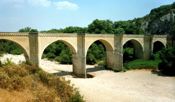
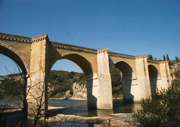
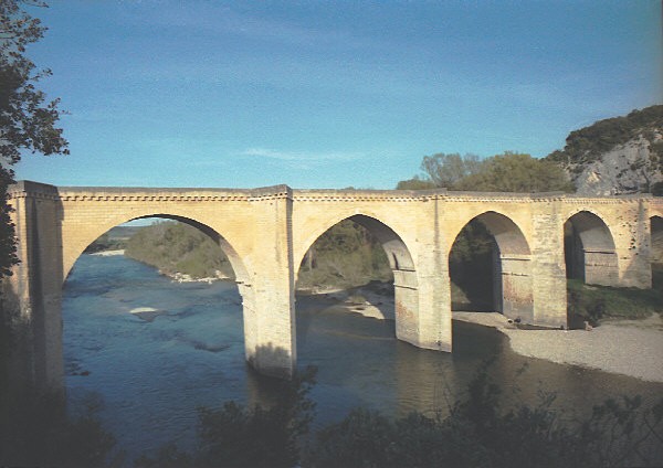
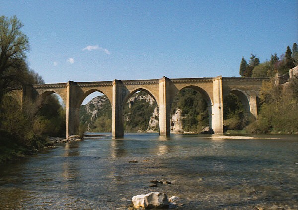
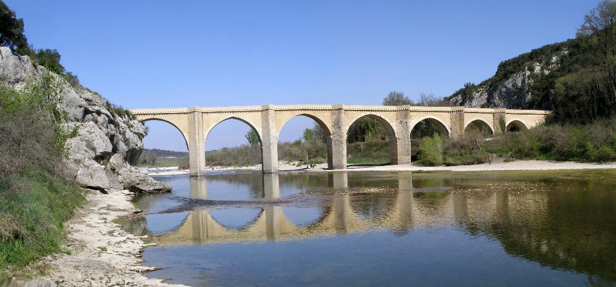
The Saint-Nicolas-de-Campagnac Bridge (French Pont Saint-Nicolas-de-Campagnac) is an arch bridge crossing the river Gardon near Sainte-Anastasie, in the southern French department of Gard.
The bridge was built between 1245 and 1260.
It is crossed by departmental route 979 ((D 979) from Nîmes to Uzès.
Text imported from Wikipedia article "Saint-Nicolas-de-Campagnac Bridge" and modified on October 11, 2022 according to the CC-BY-SA 4.0 International license.


