
General Information
| Completion: | 1. March 1909 |
|---|---|
| Status: | in use |
Project Type
| Function / usage: |
Elevated metro or light rail station |
|---|
Location
| Location: |
Paris (13th), Paris, Ile-de-France, France |
|---|---|
| Part of: | |
| Coordinates: | 48° 50' 13.56" N 2° 22' 21.97" E |
Technical Information
There currently is no technical data available.
Excerpt from Wikipedia
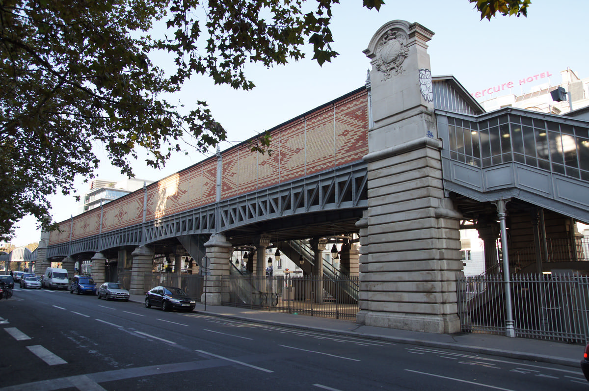
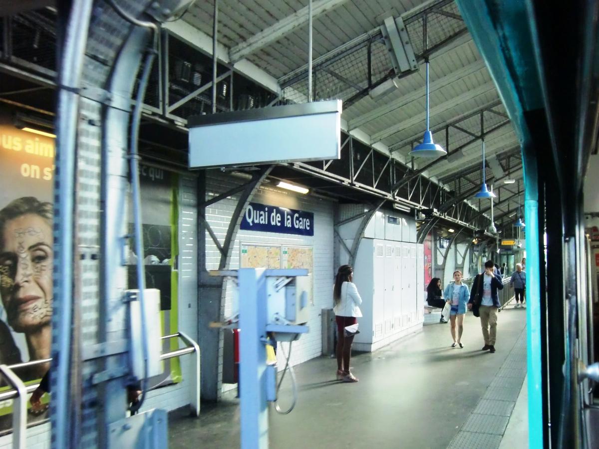
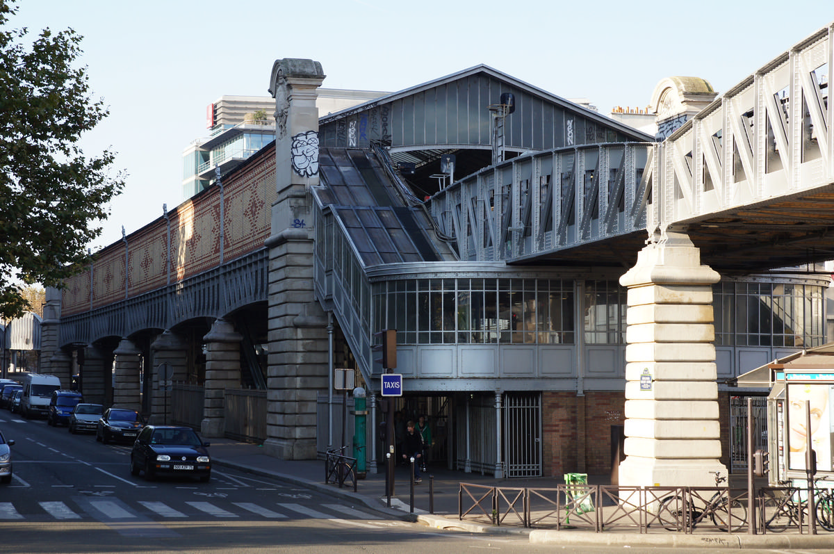
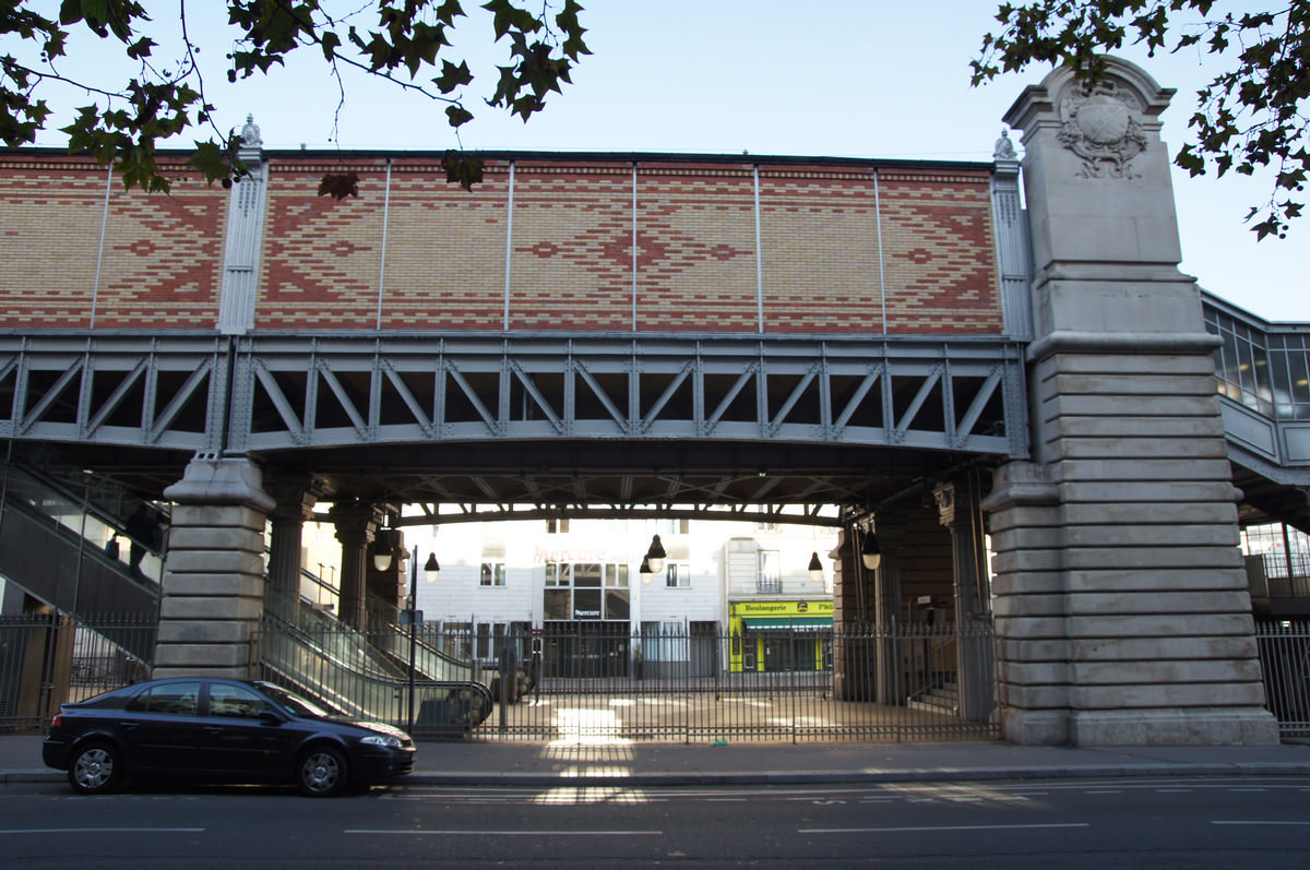
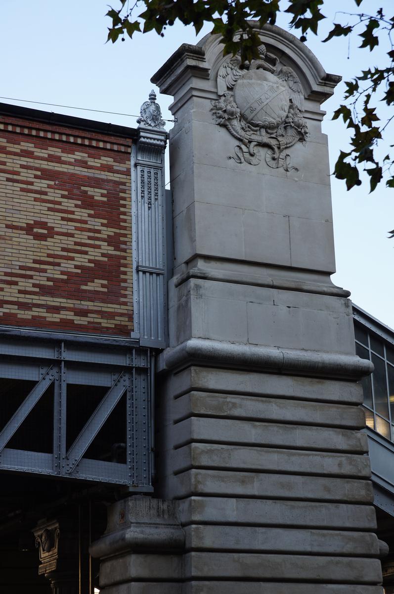
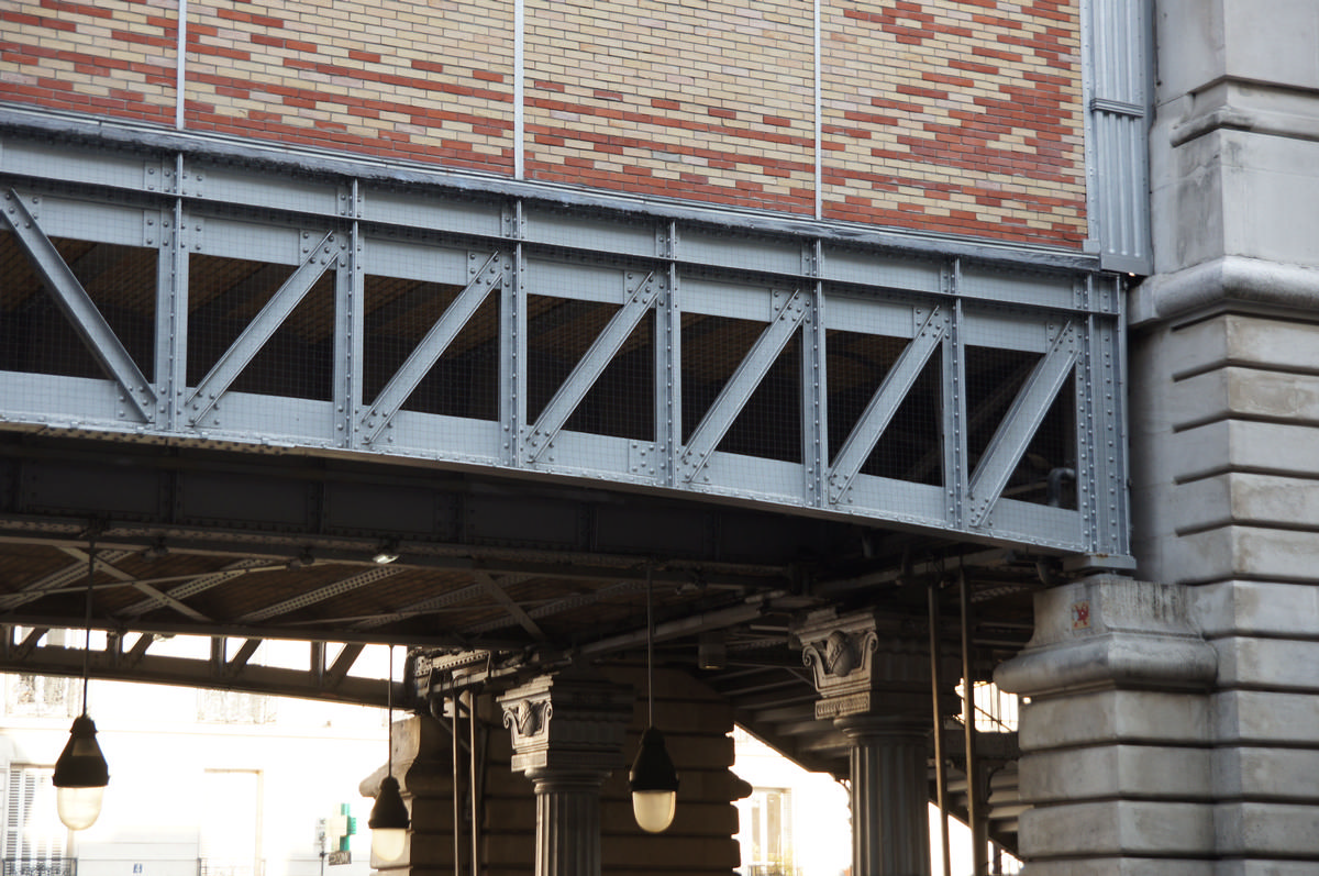
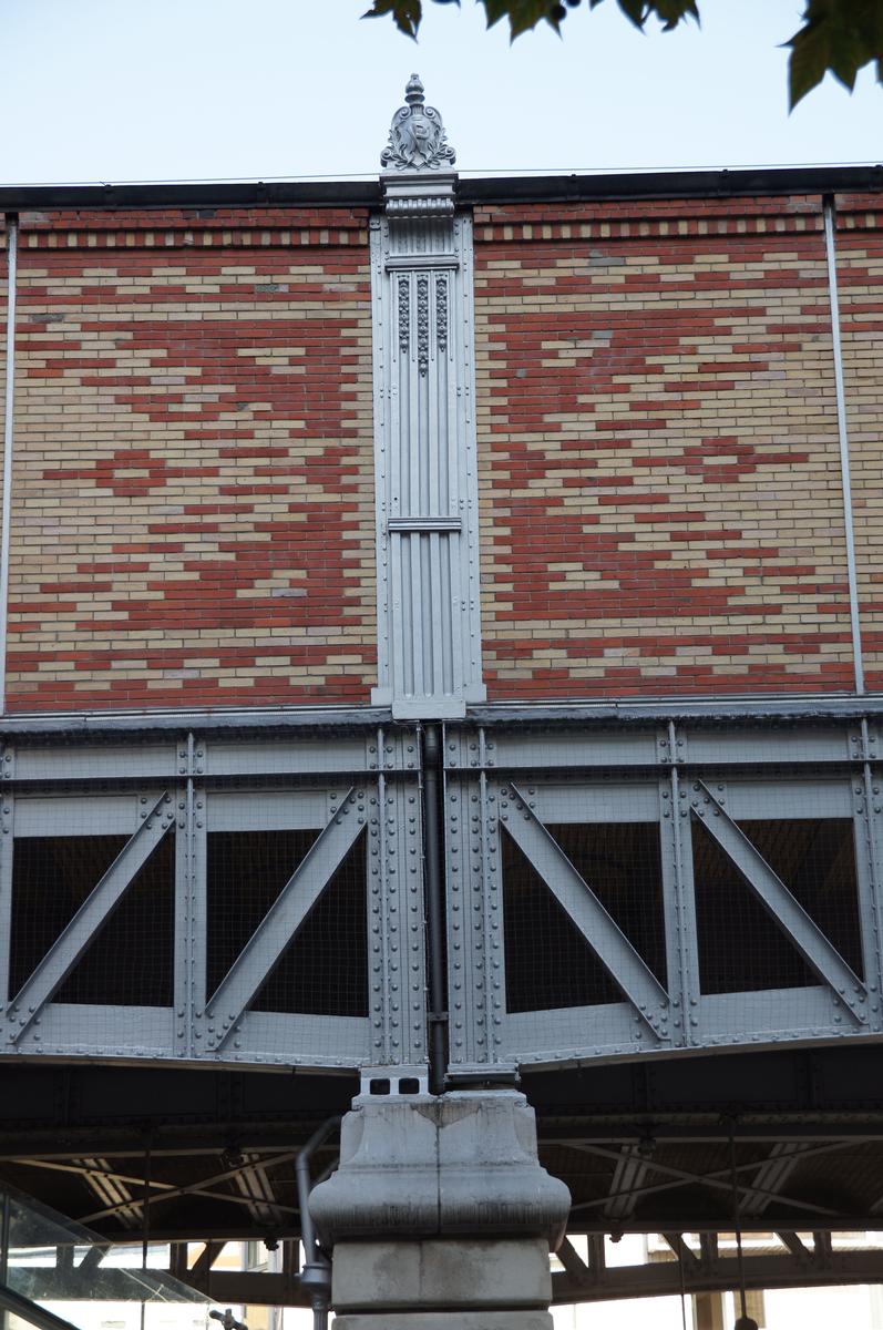
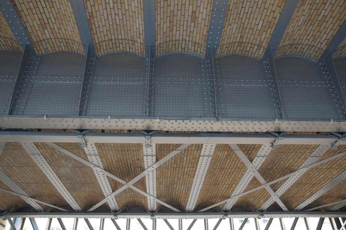
Quai de la Gare is a station of the Paris Métro serving line 6 at the intersection of the Quai de la Gare and the Boulevard Vincent Auriol in the 13th arrondissement.
The station opened on 1 March 1909 with the opening of the original section of line 6 from Place d'Italie to Nation (although part of line 5—some dating back to 2 October 1900—was incorporated into line 6 on 12 October 1942). It is named after the Quai de la Gare on the south bank of the Seine, which was a wharf opened in 1770 and serving the Pitié-Salpêtrière Hospital. Nearby was the location of the Barrière de la Gare, a gate built for the collection of taxation as part of the Wall of the Farmers-General; the gate was built between 1784 and 1788 and demolished in 1819.
Text imported from Wikipedia article "Quai de la Gare (Paris Métro)" and modified on July 23, 2019 according to the CC-BY-SA 4.0 International license.
Participants
Currently there is no information available about persons or companies having participated in this project.
Relevant Web Sites

- About this
data sheet - Structure-ID
20051668 - Published on:
08/01/2010 - Last updated on:
25/01/2022


