
General Information
Project Type
| Structure: |
Gravity dam |
|---|---|
| Function / usage: |
Flood-control dam Irrigation & industrial water dam |
| Material: |
Concrete dam |
| Function / usage: |
Fresh water dam |
Location
Technical Information
Dimensions
| height | 55.5 m | |
| retained water volume | 39 800 000 m³ | |
| crest length | 222 m | |
| dam volume | 204 000 m³ |
Excerpt from Wikipedia
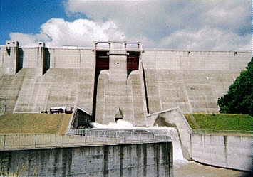
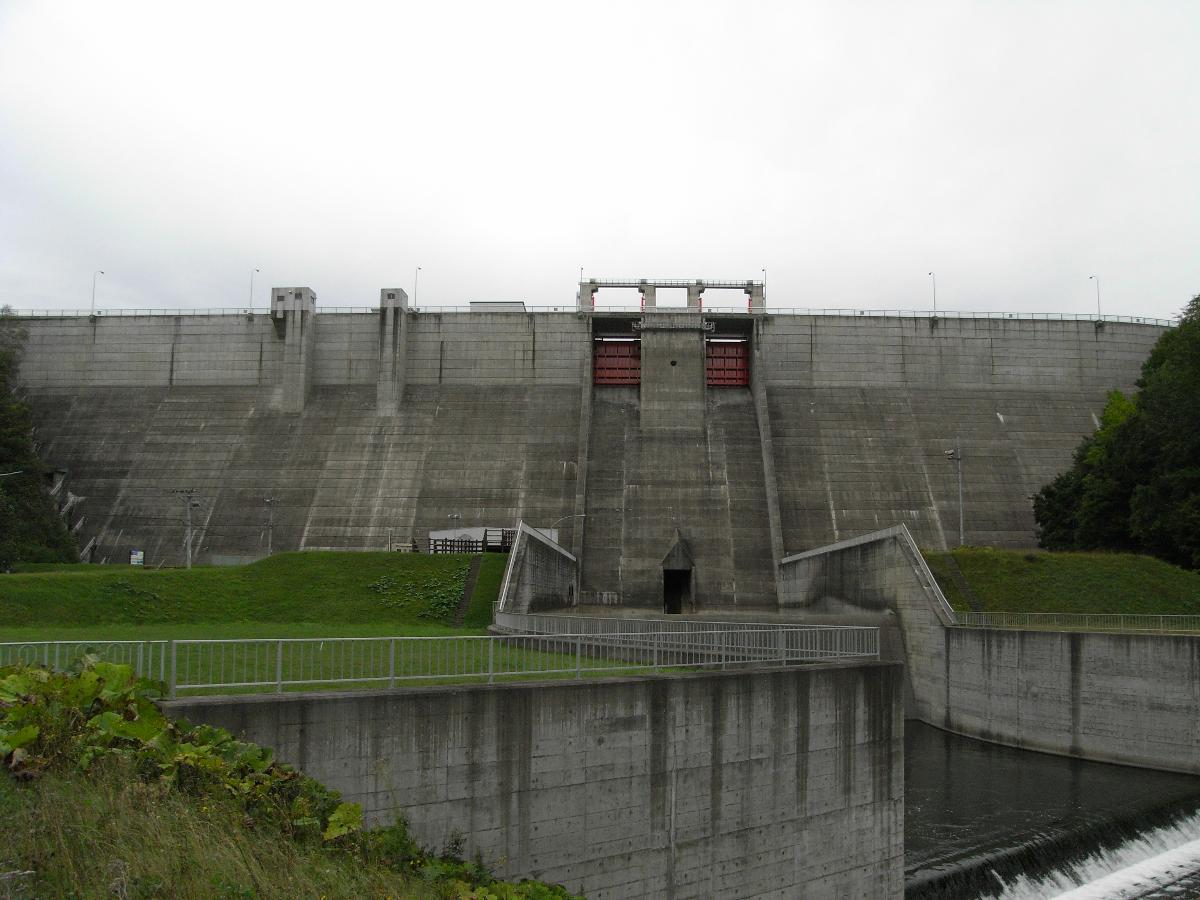
The Kanoko Dam (鹿ノ子ダム) is a concrete Gravity dam in Oketocho, Hokkaidō, Japan. The dam is situated upon the Tokoro River. The dam is a multipurpose dam with a flood control function, as well as to provide irrigation to Kitami City among other municipalities, for irrigation, and for river flow control.
The artificial lake created by the construction of the dam is known as Oketo Lake.
The region surrounding the dam is largely used for agriculture. The dam was needed for flood control as well as to support the growing local populations and increased use of agricultural technology.
Dam Construction
In 1968 The Hokkaido Development Bureau as well as the Abashiri Construction Development Department were planning a comprehensive flood control and irrigation strategy. In 1972, the project was implemented. Work began on road reconstructions and maintenance work of the surrounding area, along with compensation negotiations with the affected populations. In 1979, the project entered into the main construction phase which was completed in 1983.
Text imported from Wikipedia article "Kanoko Dam" and modified on July 23, 2019 according to the CC-BY-SA 4.0 International license.
Participants
Currently there is no information available about persons or companies having participated in this project.
Relevant Web Sites

- About this
data sheet - Structure-ID
20041450 - Published on:
18/12/2008 - Last updated on:
04/06/2023


