
General Information
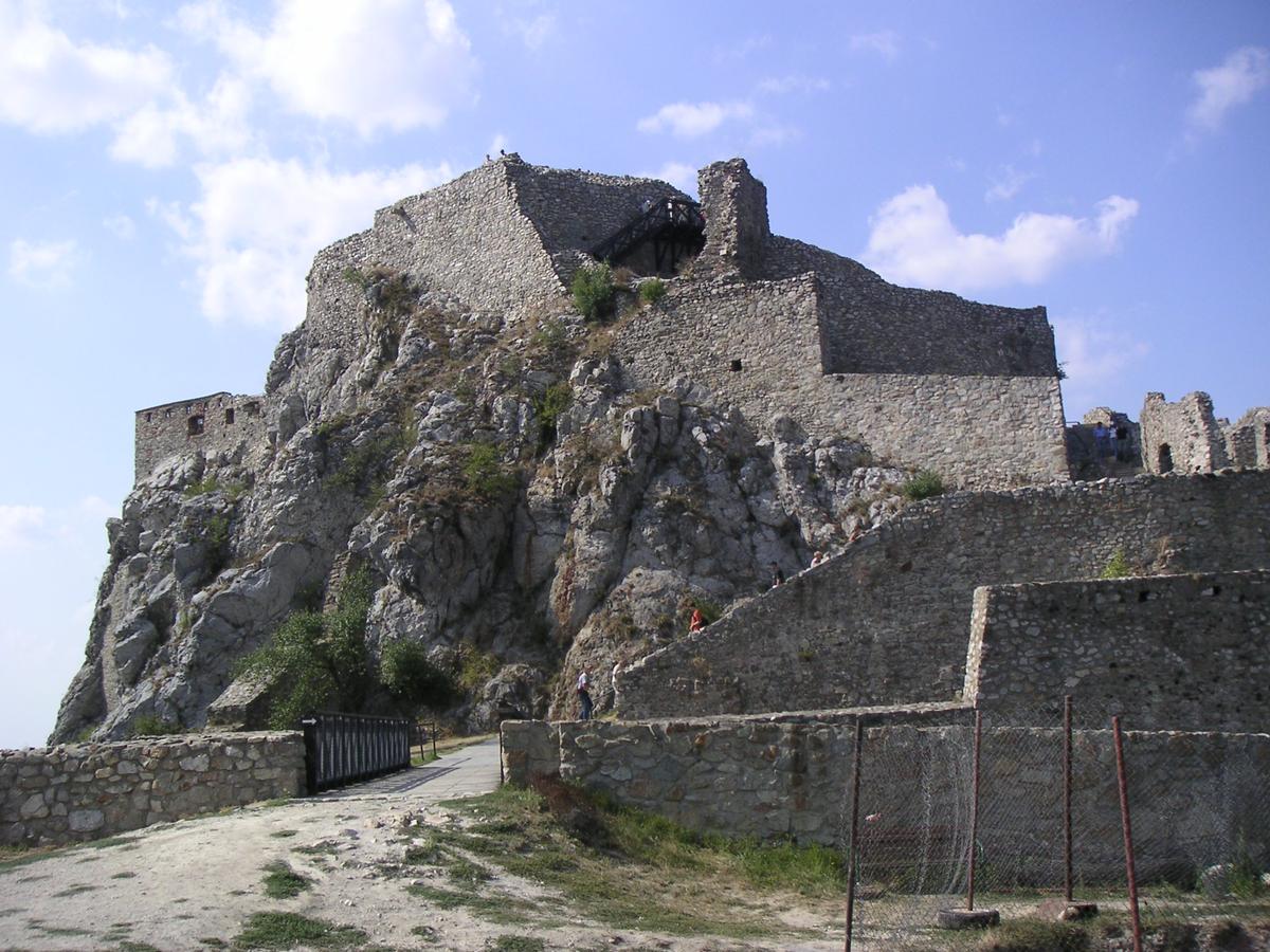
| Name in local language: | Hrad Devín |
|---|---|
| Completion: | 13th century |
| Status: | in ruins |
Project Type
| Function / usage: |
Castle |
|---|---|
| Material: |
Masonry structure |
Location
| Location: |
Bratislava, Bratislava Region, Slovakia |
|---|---|
| Coordinates: | 48° 10' 25.93" N 16° 58' 41.49" E |
Technical Information
There currently is no technical data available.
Participants
Currently there is no information available about persons or companies having participated in this project.
Relevant Web Sites

- About this
data sheet - Structure-ID
20028920 - Published on:
05/07/2007 - Last updated on:
28/05/2021
Structurae cooperates with


