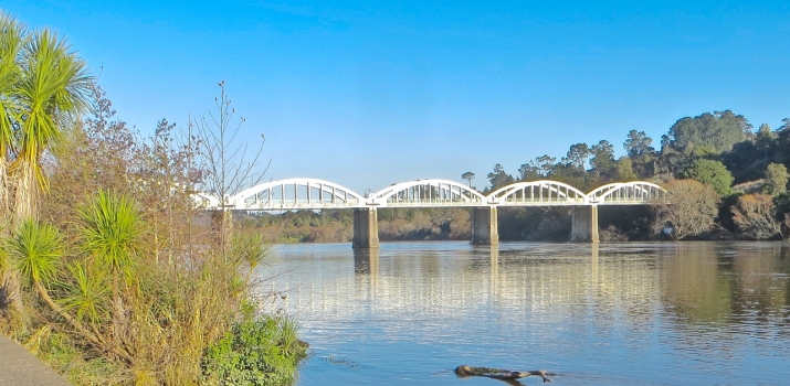
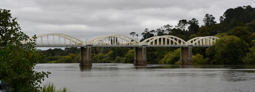
General Information
| Completion: | 1933 |
|---|---|
| Status: | in use |
Project Type
| Structure: |
Unbraced tied-arch bridge |
|---|---|
| Function / usage: |
Road bridge |
| Material: |
Reinforced concrete bridge |
| Support conditions: |
Structurae Plus/Pro - Subscribe Now! |
| Plan view: |
Structurae Plus/Pro - Subscribe Now! |
| Material: |
Structurae Plus/Pro - Subscribe Now! |
Location
| Location: |
Franklin District, Auckland, New Zealand |
|---|---|
| Address: | River Road |
| Crosses: |
|
| Coordinates: | 37° 17' 52.21" S 174° 56' 43.62" E |
Technical Information
Dimensions
| main span | 33.5 m | |
| total length | 210.8 m | |
| span lengths | 11 m - 2 x 32.9 m - 4 x 33.5 m | |
| number of spans | 7 | |
| number of lanes | 2 | |
| abutments | number | 2 |
| piers | number | 6 |
Materials
| deck |
reinforced concrete
|
|---|---|
| piers |
reinforced concrete
|
| arches |
reinforced concrete
|
| abutments |
reinforced concrete
|
Participants
Relevant Web Sites
There currently are no relevant websites listed.
Relevant Publications
- (2001): Bridging the Gap. Early Bridges in New Zealand 1830-1939. Reed Books, Auckland (New Zealand), pp. 274.
- About this
data sheet - Structure-ID
20052120 - Published on:
16/01/2010 - Last updated on:
29/11/2024


