
General Information
| Other name(s): | Miramichi Bridge |
|---|---|
| Completion: | 30 September 1967 |
| Status: | in use |
Project Type
| Structure: |
Truss arch bridge Through arch bridge |
|---|---|
| Function / usage: |
Road bridge |
| Plan view: |
Structurae Plus/Pro - Subscribe Now! |
| Support conditions: |
for registered users |
| Material: |
Structurae Plus/Pro - Subscribe Now! |
| Secondary structure(s): |
Structurae Plus/Pro - Subscribe Now! |
Location
| Location: |
Miramichi, New Brunswick, Canada |
|---|---|
| Coordinates: | 47° 1' 42.48" N 65° 28' 49.72" W |
Technical Information
Dimensions
| total length | 1 180 m | |
| number of lanes | 2 |
Materials
| piers |
reinforced concrete
|
|---|---|
| truss |
steel
|
Excerpt from Wikipedia
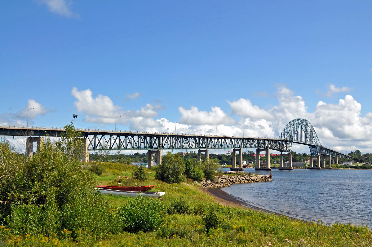
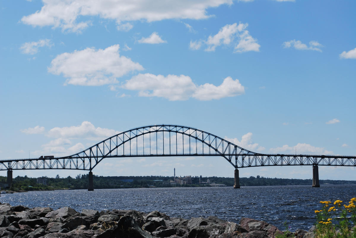
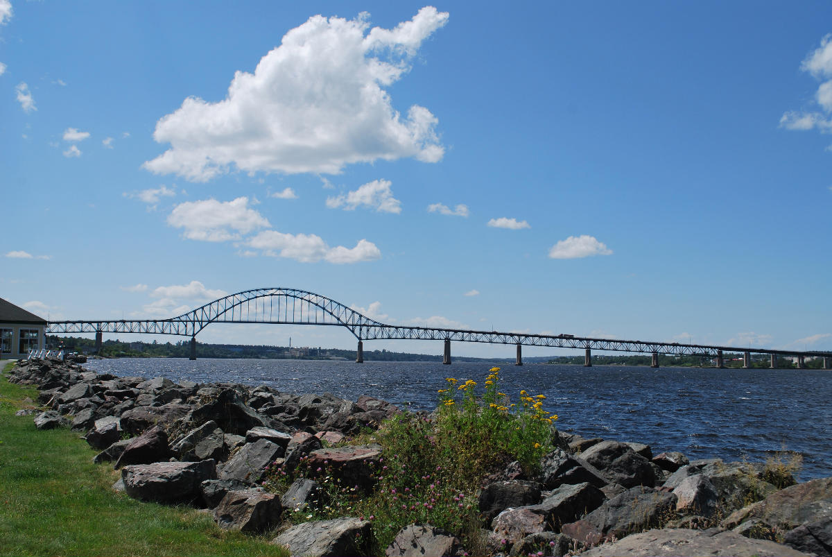
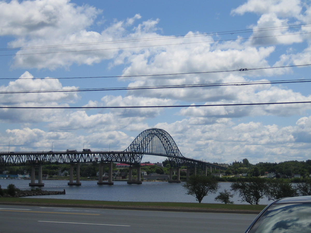
Centennial Bridge is a steel through arch crossing the Miramichi River in Northumberland County, New Brunswick, Canada. The bridge is 1.1 km long, and 240 feet high. It carries Route 11, Route 8, and Route 134 over the river, connecting Douglastown on the north bank with Chatham on the south bank; both communities were merged with others in the vicinity through municipal amalgamation into the city of Miramichi.
The bridge was opened in 1967, Canada's centennial year. It replaced a ferry service (Romeo & Juliet) which operated between downtown Chatham and Ferry Road. Upon the bridge's opening, Romeo & Juliet was moved to service a new route across Kennebecasis Bay between Summerville and Millidgeville near Saint John.
Bridges of similar construction in eastern Canada include the Seal Island Bridge, the Burton Bridge, and the Laviolette Bridge over the St. Lawrence River in Trois-Rivières.
Text imported from Wikipedia article "Centennial Bridge (New Brunswick)" and modified on January 18, 2025 according to the CC-BY-SA 4.0 International license.
Participants
Currently there is no information available about persons or companies having participated in this project.
Relevant Web Sites

- About this
data sheet - Structure-ID
20090299 - Published on:
16/01/2025 - Last updated on:
17/01/2025


