

General Information
| Completion: | 1933 |
|---|---|
| Status: | in use |
Project Type
| Structure: |
Tunnel |
|---|---|
| Function / usage: |
Road tunnel |
Location
| Location: |
Mariposa County, California, USA |
|---|---|
| Address: | CA 41 |
| Coordinates: | 37° 42' 55.80" N 119° 40' 39.63" W |
| Coordinates: | 37° 42' 57.14" N 119° 41' 32.32" W |
Technical Information
Dimensions
| length | 1 290 m | |
| number of lanes | 2 |
Excerpt from Wikipedia
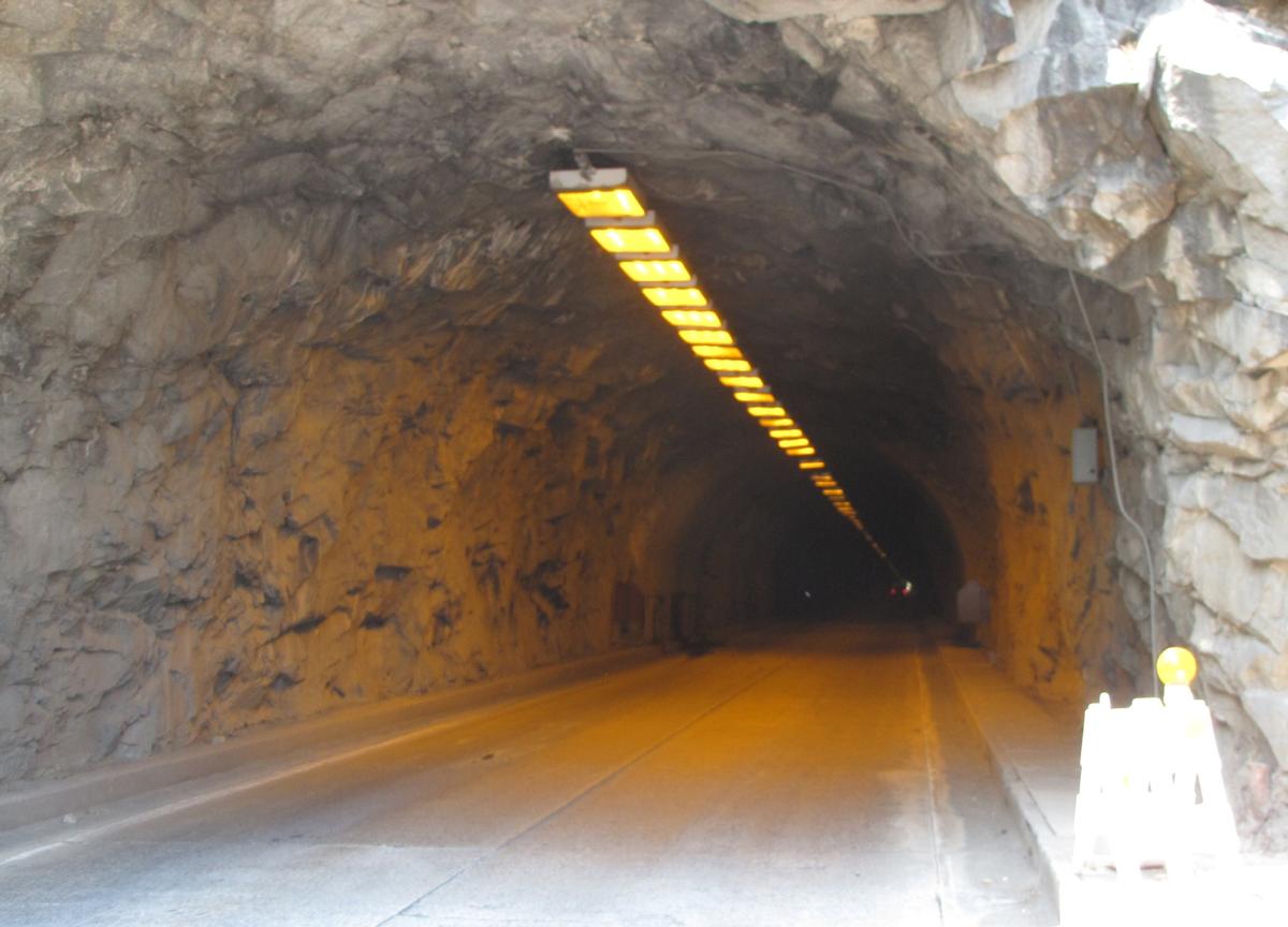
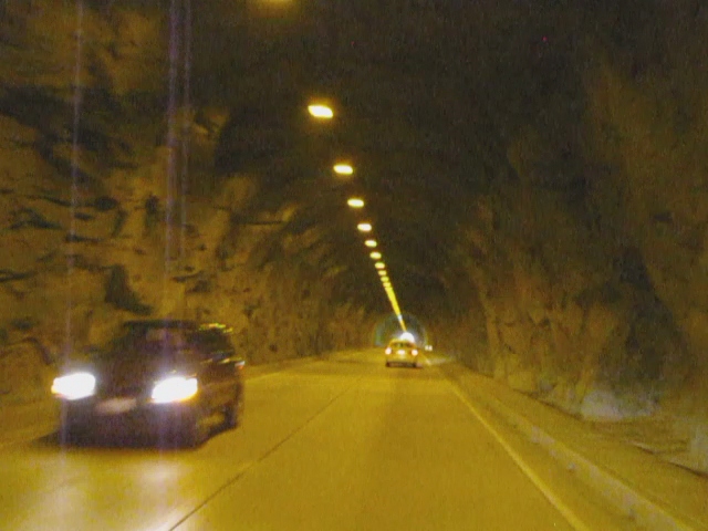
The Wawona Tunnel is a highway tunnel in Yosemite National Park. It, and Tunnel View just beyond its east portal, were completed in 1933.
Route
Wawona Tunnel was bored through solid granite bedrock, and carries Wawona Road through a granite mountain on the south side of the Merced River. It is located on one of the three main roads providing access to Yosemite Valley, the most visited section of the park. Wawona Road becomes California State Route 41 on exiting the park. After passing through the tunnel, when leaving Yosemite Valley, Wawona Road continues to Chinquapin Junction with Glacier Point Road at Badger Pass, and reaches an elevation of 6,039 feet (1,841 m) above sea level.
Specifications
At 4,233 feet (1,290 m) long Wawona Tunnel is the longest highway tunnel in California.
A $1.5 million federal highway contract to repair the tunnel's ventilation and electrical systems, and a separate contract to upgrade visitor services at Tunnel View, was completed in 2008.
Text imported from Wikipedia article "Wawona Tunnel" and modified on 23 July 2019 under the CC-BY-SA 3.0 license.
Participants
Currently there is no information available about persons or companies having participated in this project.
Relevant Web Sites

- About this
data sheet - Structure-ID
20056211 - Published on:
04/04/2010 - Last updated on:
28/05/2021
Structurae cooperates with


