
General Information
| Other name(s): | Ayeyawady Bridge |
|---|---|
| Beginning of works: | 2009 |
| Completion: | 31 December 2011 |
| Status: | in use |
Project Type
| Structure: |
Through truss bridge |
|---|---|
| Function / usage: |
Road bridge Railroad (railway) bridge |
| Material: |
Steel bridge Structurae Plus/Pro - Subscribe Now! |
Location
| Location: |
Pakokku, Magway Region, Myanmar |
|---|---|
| Crosses: |
|
| Coordinates: | 21° 18' 3.43" N 95° 3' 37.27" E |
Technical Information
Dimensions
| main bridge | ||
|---|---|---|
| total length | 3.4 km | |
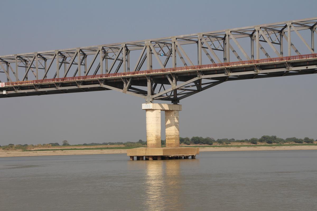
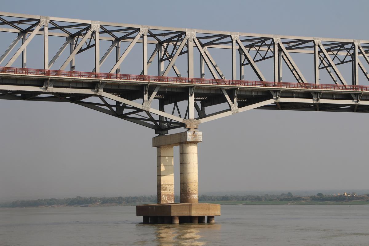
Materials
| piers |
reinforced concrete
|
|---|---|
| truss |
steel
|
Excerpt from Wikipedia
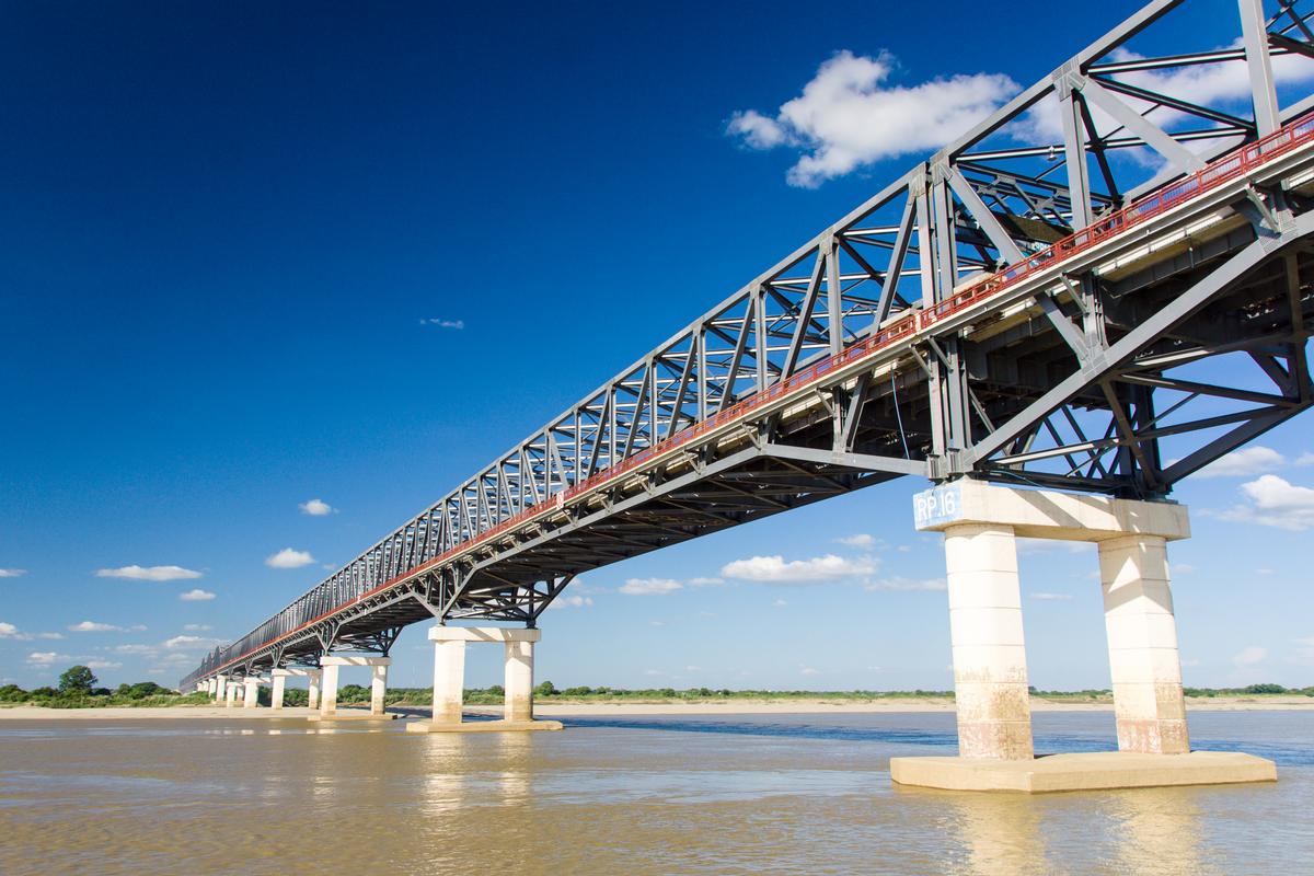
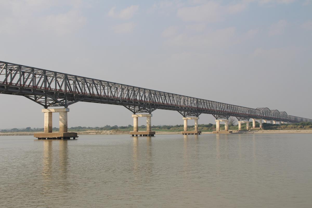
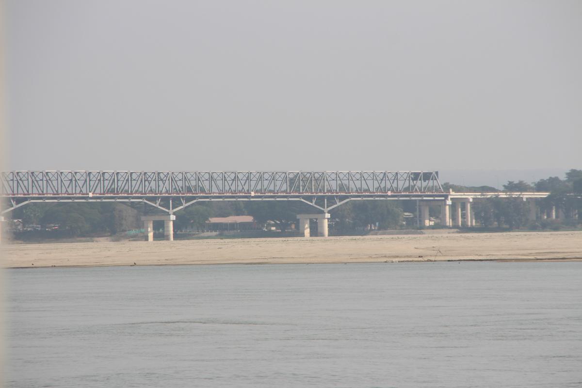
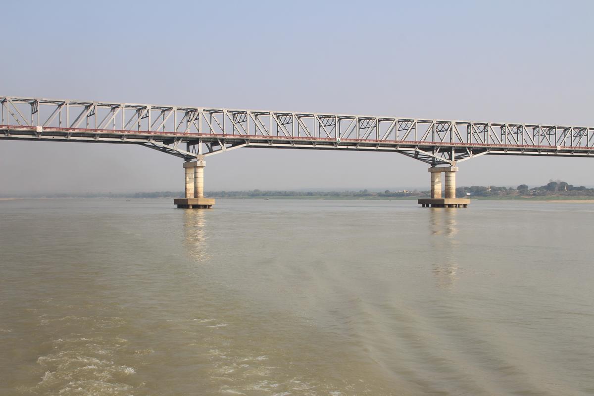
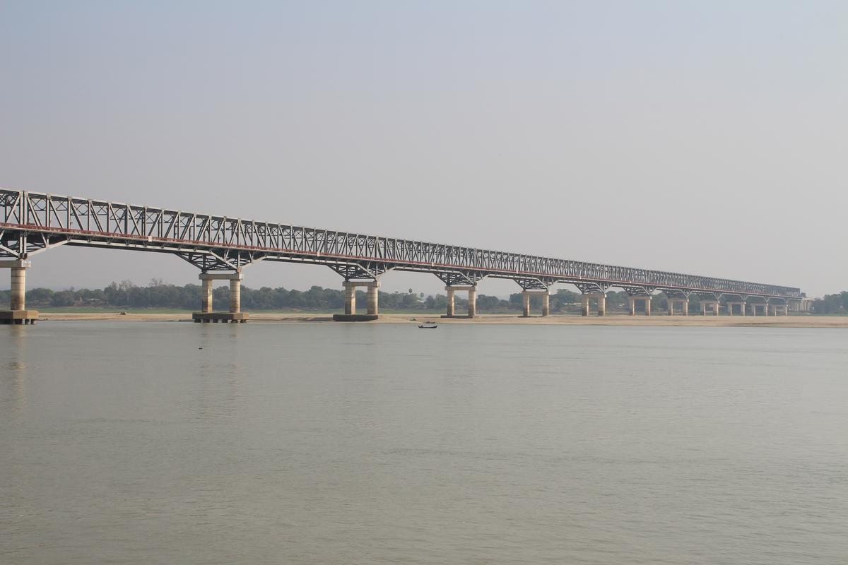
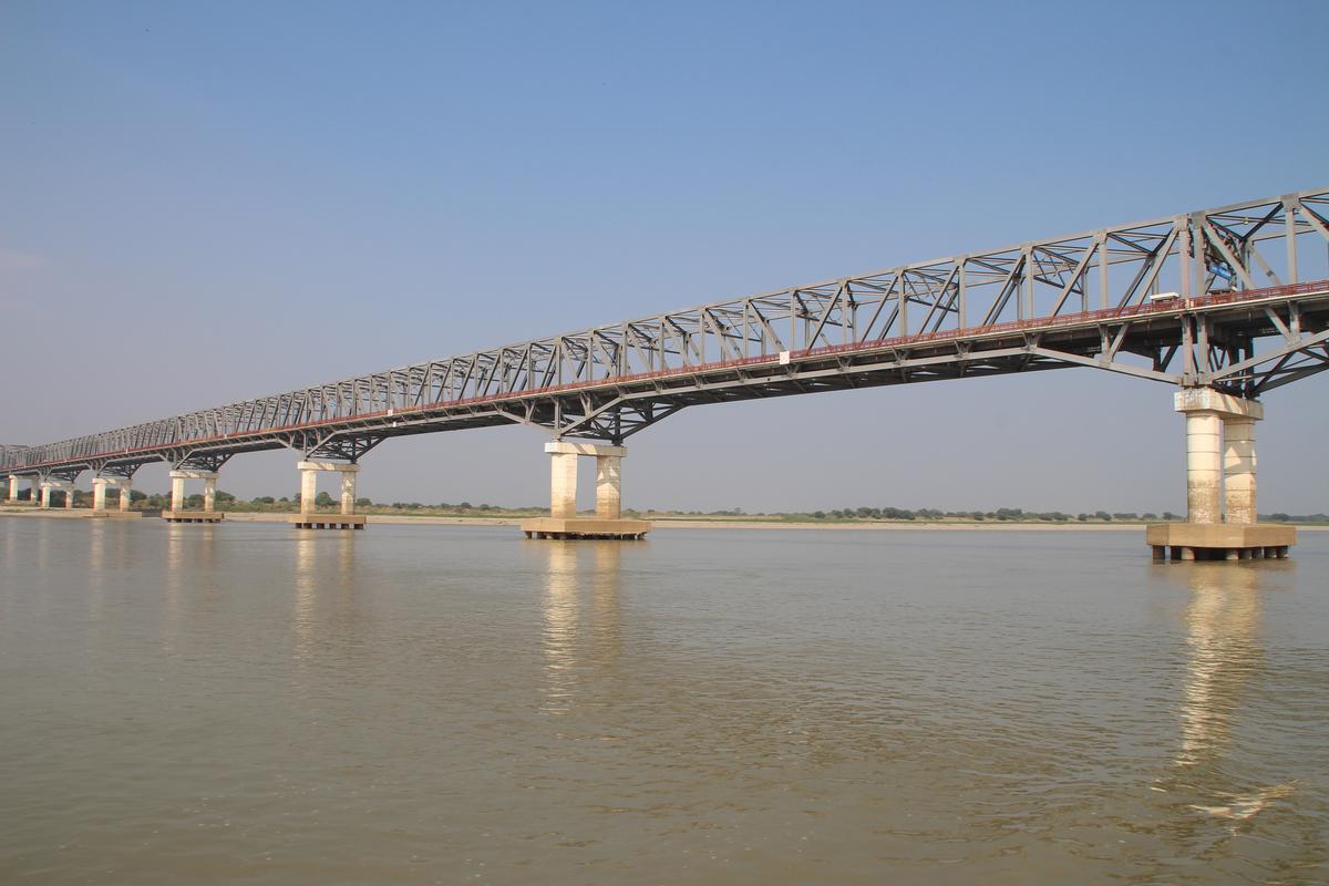
Pakokku Bridge is a rail and road bridge across the Irrawaddy River in Myanmar's Pakokku town. The main bridge is 3.4 km (2.1 mi) long with the motorway measuring 4 km (2.5 mi) and the railroad measuring 6.17 km (3.83 mi). The bridge is part of the India–Myanmar–Thailand Trilateral Highway and is the longest bridge in Myanmar.
Construction
The bridge connects the town of Pakokku with the administrative district of Nyaung-U. The bridge has a 28 foot wide motorway and a 14 foot wide roadway in parallel besides two pedestrian walkways measuring three foot and three inches. It is a broad crested type bridge with a 52 foot high and 262 feet wide clearance area. The bridge also has a 512 feet long approach bridge and an 850 feet long approach embankment. The bridge was inaugurated on 1 January 2012 by Vice-president Tin Aung Myint Oo.
Text imported from Wikipedia article "Pakokku Bridge"
and modified on 23 July 2019 under the CC-BY-SA 3.0 license.
Participants
Currently there is no information available about persons or companies having participated in this project.
Relevant Web Sites

- About this
data sheet - Structure-ID
20072738 - Published on:
16/03/2017 - Last updated on:
13/07/2017


