
General Information
| Other name(s): | Gulfgate Bridge |
|---|---|
| Completion: | 1970 |
| Status: | in use |
Project Type
| Structure: |
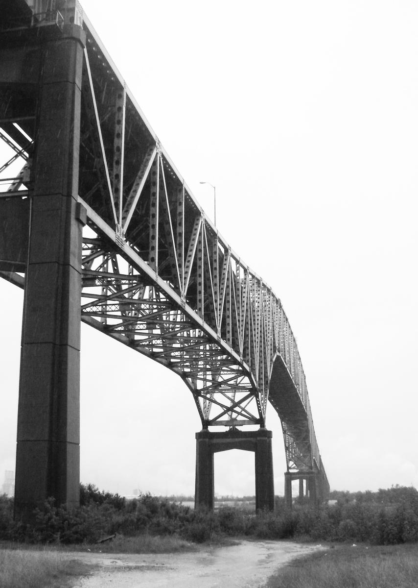
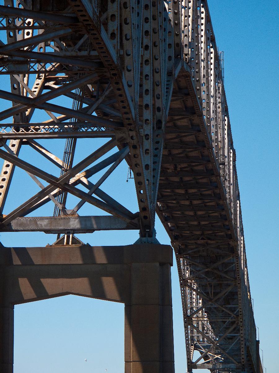
Cantilever truss bridge |
|---|---|
| Support conditions: |
for registered users |
| Secondary structure(s): |
Structurae Plus/Pro - Subscribe Now! |
| Function / usage: |
Road bridge |
| Material: |
Steel bridge Structurae Plus/Pro - Subscribe Now! |
Awards and Distinctions
| 1971 |
Award of Merit
for registered users |
|---|
Location
| Location: |
Port Arthur, Jefferson County, Texas, USA |
|---|---|
| Coordinates: | 29° 51' 11.43" N 93° 56' 39.97" W |
Technical Information
Dimensions
| main span | 202.4 m | |
| total length | 1 533.9 m |
Materials
| piers |
reinforced concrete
|
|---|---|
| truss |
steel
|
Excerpt from Wikipedia
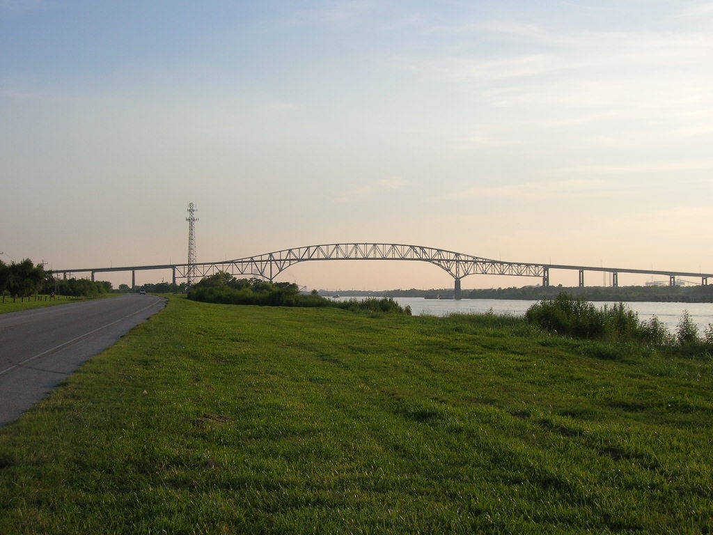
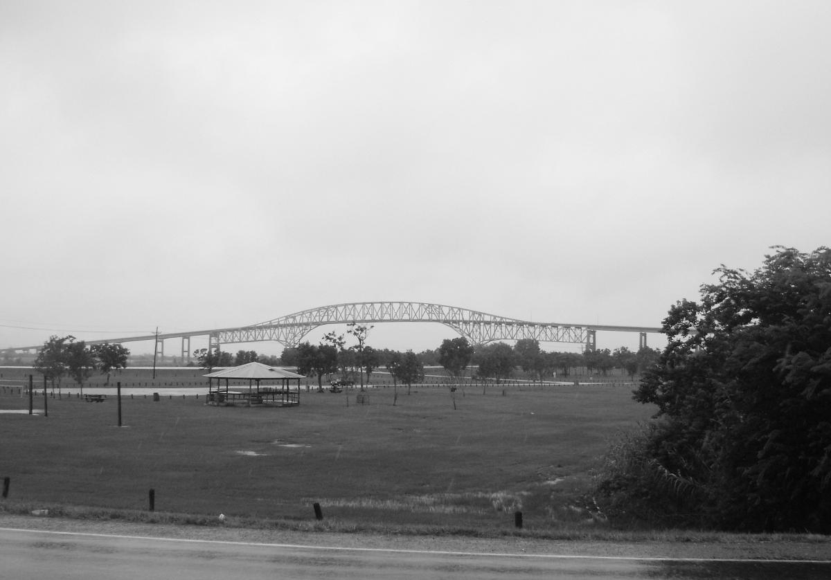
The Martin Luther King Bridge, of Port Arthur, Texas, is a cantilever bridge spanning the Sabine-Neches ship canal. It was opened in 1970 as the Gulfgate Bridge, and allows Texas State Highway 82, a short (13 miles (21 km)) highway, to cross the canal and continue on Pleasure Island to the Texas-Louisiana border, connecting Port Arthur to Louisiana Highway 82.
Text imported from Wikipedia article "Martin Luther King Bridge (Port Arthur, Texas)" and modified on 12 June 2023 according to the CC-BY-SA 3.0 license.
Participants
Design
General contractor
Steel erection

Relevant Web Sites

- About this
data sheet - Structure-ID
20085984 - Published on:
29/05/2023 - Last updated on:
30/05/2023
Structurae cooperates with


