
.jpeg)
General Information
| Other name(s): | Hootenville Bridge; Zorn's Mill Bridge |
|---|---|
| Completion: | 1892 |
| Status: | in use |
Project Type
| Structure: |
Covered bridge Town lattice truss bridge Through truss bridge |
|---|---|
| Support conditions: |
for registered users |
| Function / usage: |
Road bridge |
| Material: |
Timber bridge Structurae Plus/Pro - Subscribe Now! |
| Plan view: |
Structurae Plus/Pro - Subscribe Now! |
Awards and Distinctions
| 1975 |
for registered users |
|---|
Location
| Location: |
Upson County, Georgia, USA |
|---|---|
| Crosses: |
|
| Coordinates: | 32° 45' 20.34" N 84° 13' 47.70" W |
Technical Information
Dimensions
| total length | 29.26 m |
Materials
| truss |
wood
|
|---|
Chronology
| 1994 | Destroyed by flooding. |
|---|---|
| 1997 | Rebuilt. |
Excerpt from Wikipedia
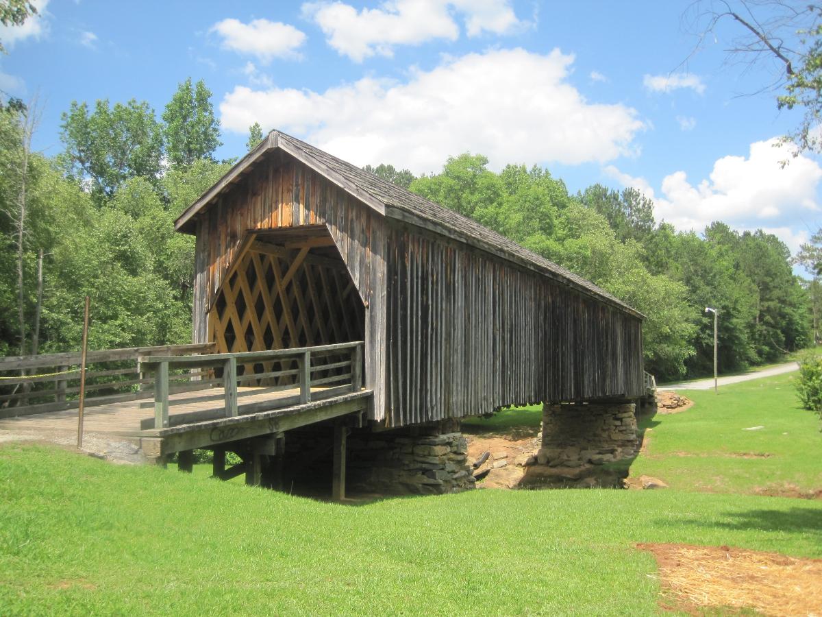
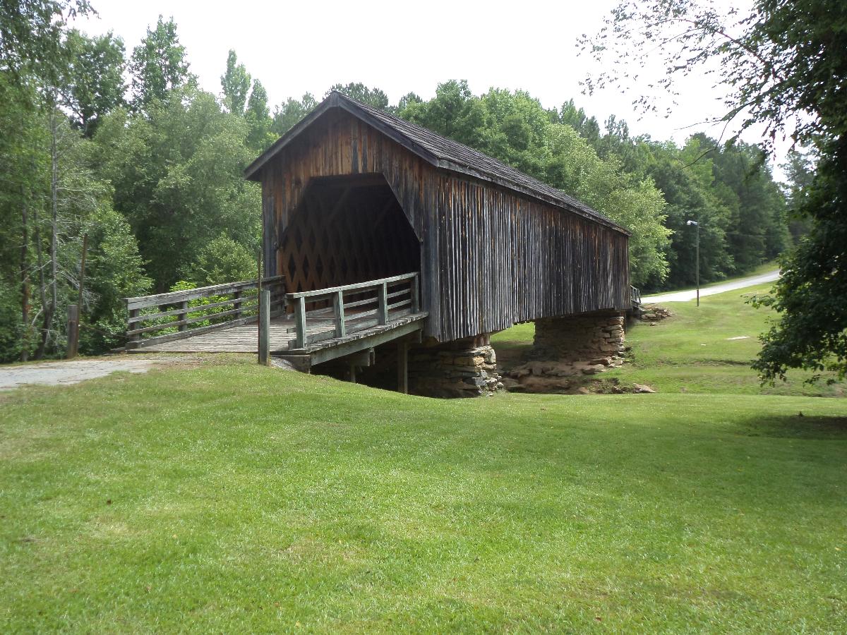
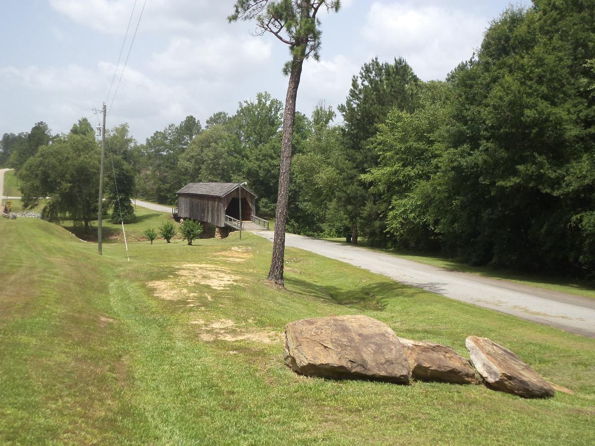
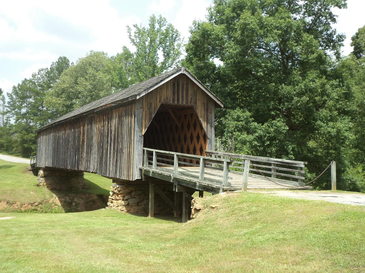
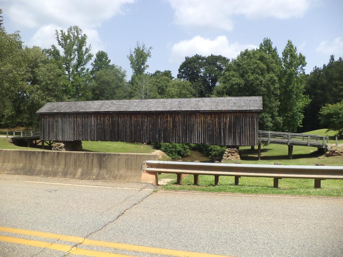
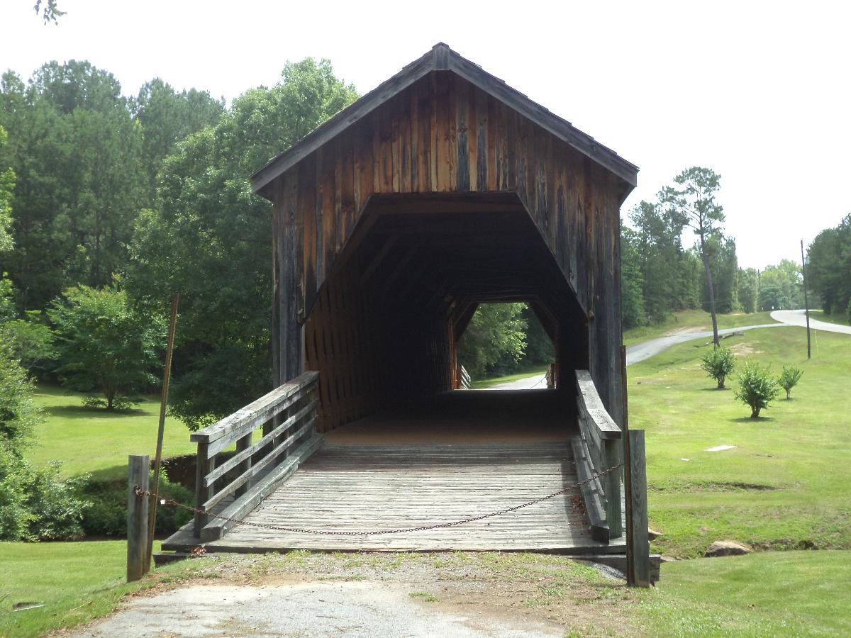
The Auchumpkee Creek Covered Bridge, near Thomaston, Georgia, was built in 1898. It was listed on the National Register of Historic Places in 1975.
It is a Town lattice truss bridge. It has also been called the Hootenville Covered Bridge.
It is located about 10 miles (16 km) southeast of Thomaston, about 1 mile (1.6 km) off U.S. 19 on Allen Rd.
"It spans Auchumpkee Creek in the Hootenville Militia District of Upson County, Georgia. The bridge is completely covered and extends 120 feet 9 inches in length resting on two native stone piers held together with cement."
Text imported from Wikipedia article "Auchumpkee Creek Covered Bridge" and modified on 15 November 2021 according to the CC-BY-SA 3.0 license.
Participants
Relevant Web Sites

- About this
data sheet - Structure-ID
20007842 - Published on:
14/01/2003 - Last updated on:
26/12/2021
Structurae cooperates with


