
General Information
Project Type
| Function / usage: |
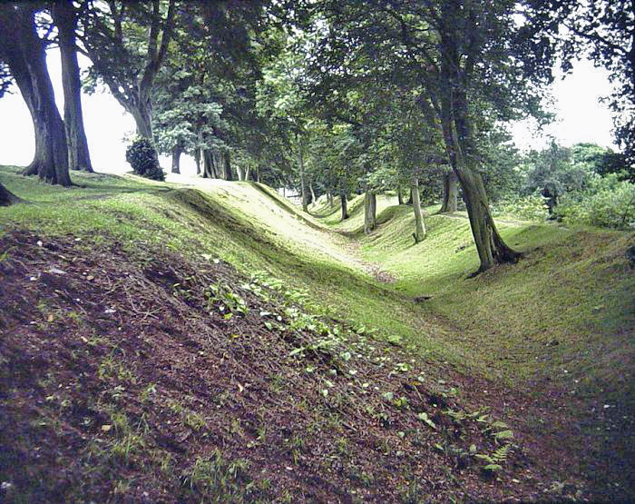
Fortification wall |
|---|
Awards and Distinctions
| 1987 |
part of an ensemble
for registered users |
|---|
Location
| km | Name |
Technical Information
Dimensions
| length | 59 km |
Chronology
| 142 — 163 | The northern Roman frontier in Britain is move north and the Antonine Wall is built as fortification. Previously, Hadrian's Wall was the border. By 163, the border is moved back again to Hadrian's Wall. |
|---|
Participants
Currently there is no information available about persons or companies having participated in this project.
Relevant Web Sites


Relevant Publications
- (2017): The Antonine Wall's distance-slabs: LiDAR as metric survey. In: Journal of Roman Archeology, v. 30 ( 2017), pp. 447-468.
- About this
data sheet - Structure-ID
10000486 - Published on:
18/03/2004 - Last updated on:
28/05/2021
Structurae cooperates with


