
General Information
| Completion: | 26 January 1903 |
|---|---|
| Status: | in use |
Project Type
| Structure: |
Underground structure |
|---|---|
| Function / usage: |
Below grade metro or light-rail station |
Location
| Location: |
Paris ( 8th), Paris, Ile-de-France, France Paris (17th), Paris, Ile-de-France, France |
|---|---|
| Part of: | |
| Coordinates: | 48° 52' 51.96" N 2° 18' 53.53" E |
Technical Information
There currently is no technical data available.
Excerpt from Wikipedia
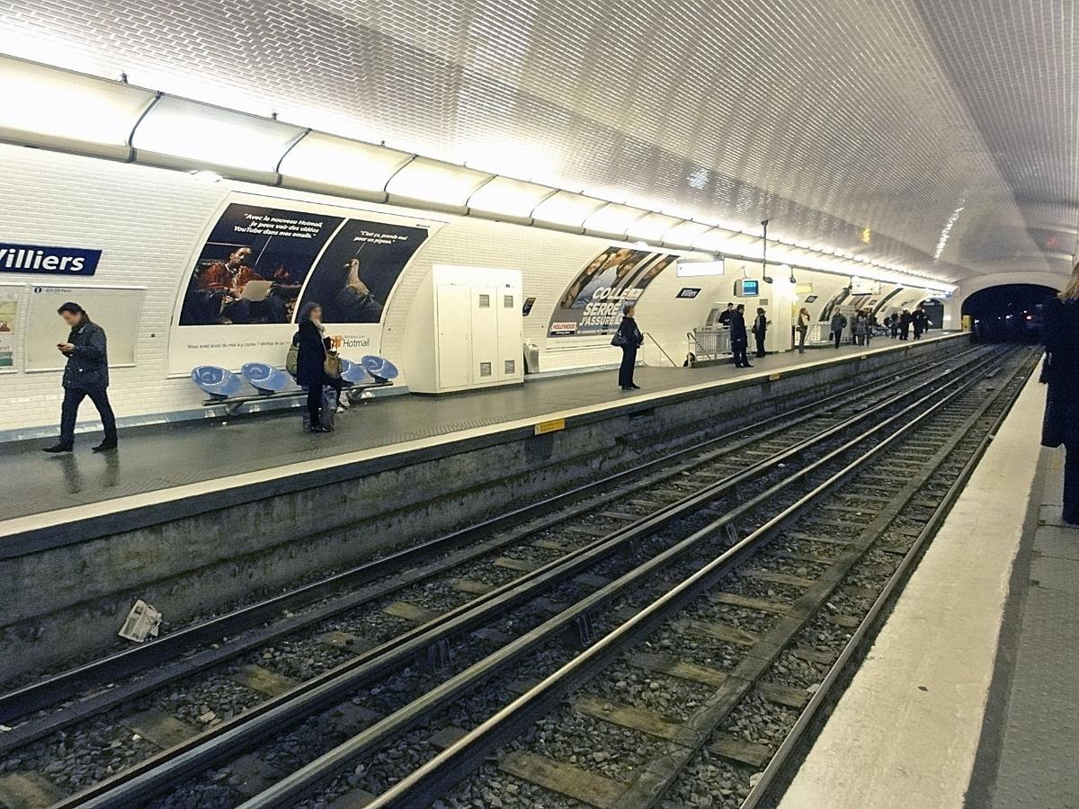
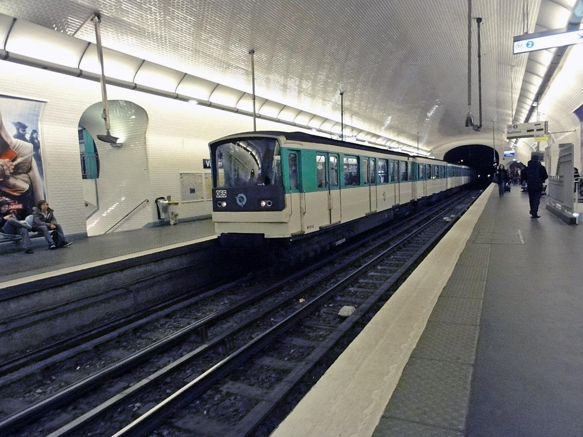
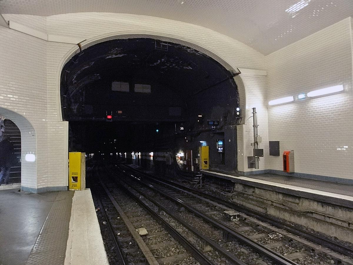
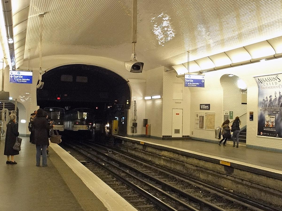
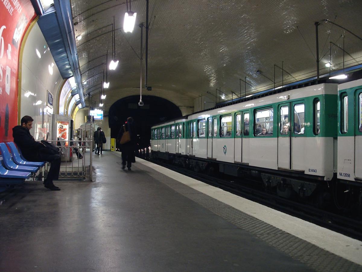
Villiers is a station of the Paris Métro, serving Line 2 and Line 3 on the border of the 8th and 17th arrondissement of Paris.
The Line 2 platforms opened on 21 January 1903, although trains had been operating between Étoile and Anvers since 7 October 1902. On 19 October 1904, it became the terminus for the first section of line 3, the other terminus being Père Lachaise. When first built, the platforms for line 3 were parallel and at the same height as those for line 2. However, for the extension to Porte de Champerret, the line 3 platforms and tracks had to be lowered in order for trains to be able to pass underneath the line 2 tracks.
It is named after the Avenue de Villiers, which once led to the 18th century village of Villiers-la-Garenne, now part of Levallois-Perret. The Barrière de Monceau, a gate built for the collection of taxation as part of the Wall of the Farmers-General was at the same location; the gate was built between 1784 and 1788 and demolished after 1859.
Text imported from Wikipedia article "Villiers (Paris Métro)" and modified on 23 July 2019 under the CC-BY-SA 3.0 license.
Participants
Currently there is no information available about persons or companies having participated in this project.
Relevant Web Sites

- About this
data sheet - Structure-ID
20051396 - Published on:
07/01/2010 - Last updated on:
25/01/2022
Structurae cooperates with


