
General Information
Project Type
| Structure: |
Embankment dam |
|---|---|
| Function / usage: |
Hydroelectric dam / plant Irrigation & industrial water dam |
Location
Technical Information
Dimensions
| height | 73 m | |
| retained water volume | max. 1 000 000 000 m³ | |
| crest length | 345 m | |
| capacity for electric power generation | 40 GWh/a |
Excerpt from Wikipedia
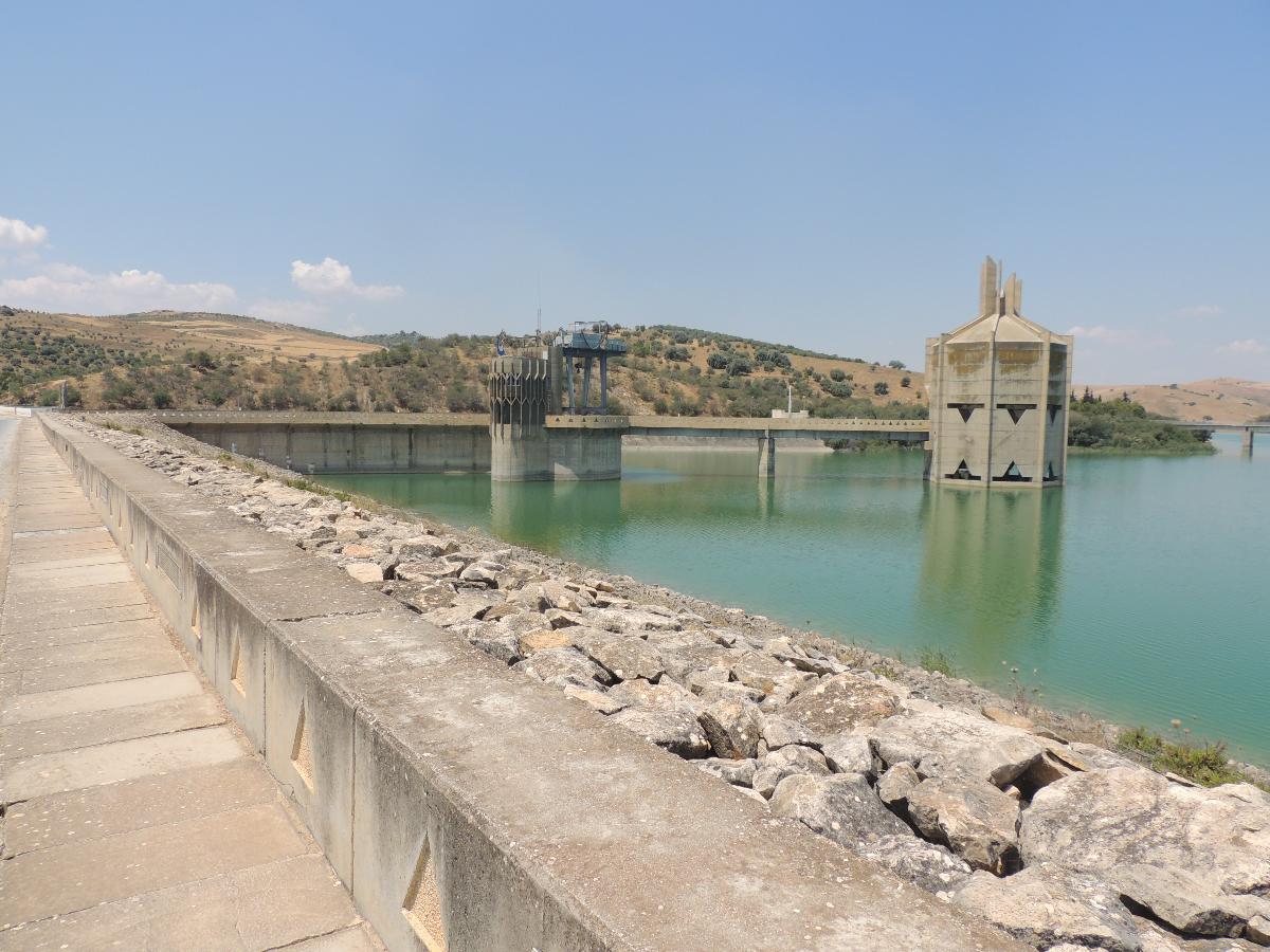
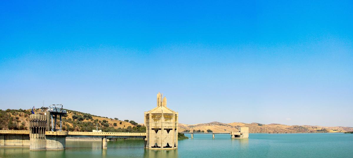
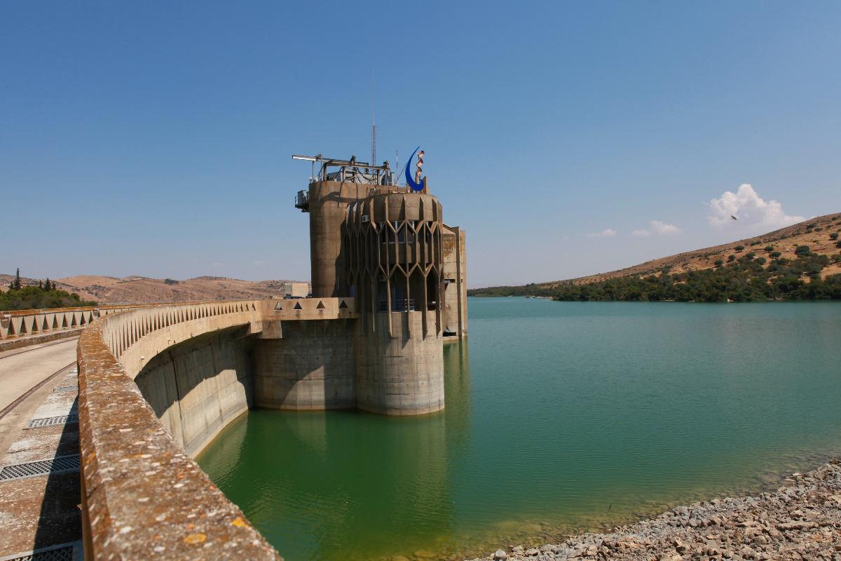
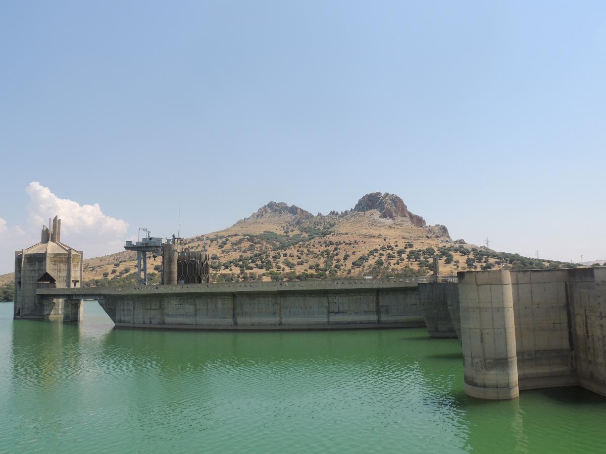
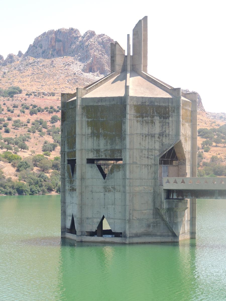
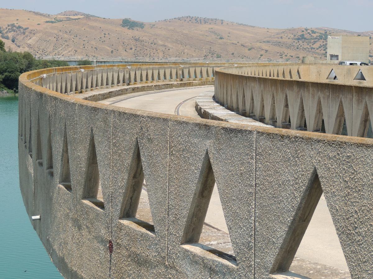
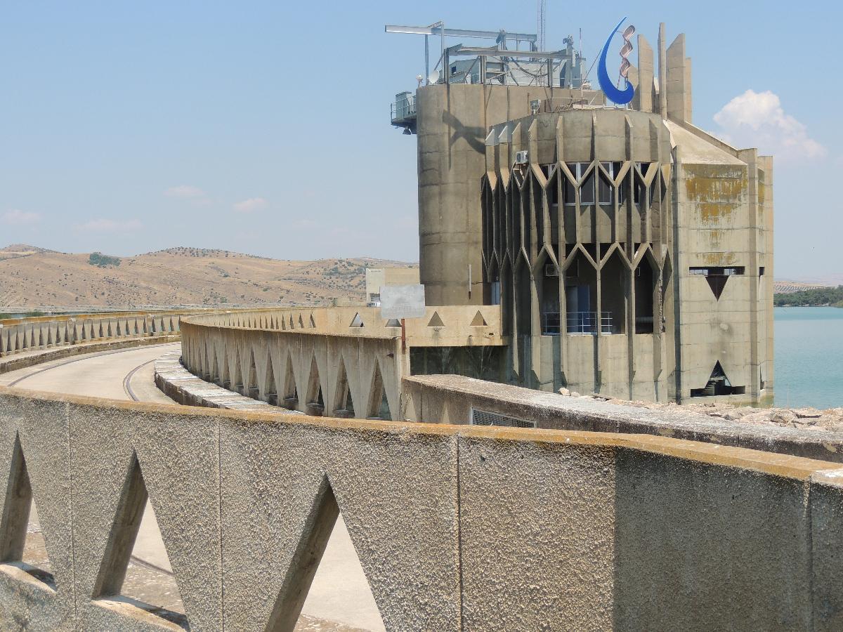
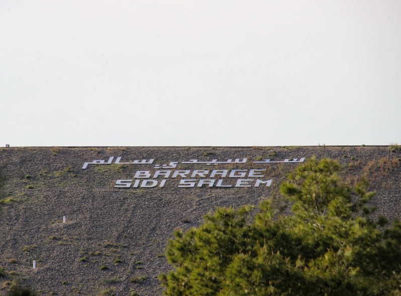
The Sidi Salem Dam is the largest embankment dam in Tunisia located 6 kilometres (3.7 mi) northwest of Testour on the Medjerda River in Béja Governorate, Tunisia. Constructed between 1977 and 1981, the dams supplies water for irrigation and supports a 20 megawatts (27,000 hp) power station.
Text imported from Wikipedia article "Sidi Salem Dam" and modified on 23 July 2019 under the CC-BY-SA 3.0 license.
Participants
Currently there is no information available about persons or companies having participated in this project.
Relevant Web Sites

Relevant Publications
- (1982): Le barrage de Sidi-Salem sur l'oued Medjerda en Tunisie. In: Travaux, n. 564 (March 1982), pp. 122-128.
- (2010): Couplage d’un évacuateur vanné avec une tranche de laminage, cas du barrage de Sidi Salem en Tunisie. In: La Houille Blanche, v. 96, n. 1 (March 2010), pp. 65-71.
- About this
data sheet - Structure-ID
20009484 - Published on:
25/06/2003 - Last updated on:
30/01/2022
Structurae cooperates with


