
General Information
| Name in local language: | سد ﺳﻔﻴﺪ ﺭﻭﺩ (sad-e Sefid Roud) |
|---|---|
| Other name(s): | Shahbanu Farah Dam; Manjil Dam |
| Beginning of works: | 1956 |
| Completion: | 1962 |
| Status: | in use |
Project Type
| Structure: |
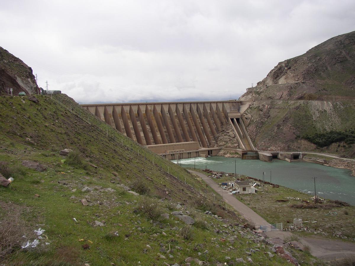
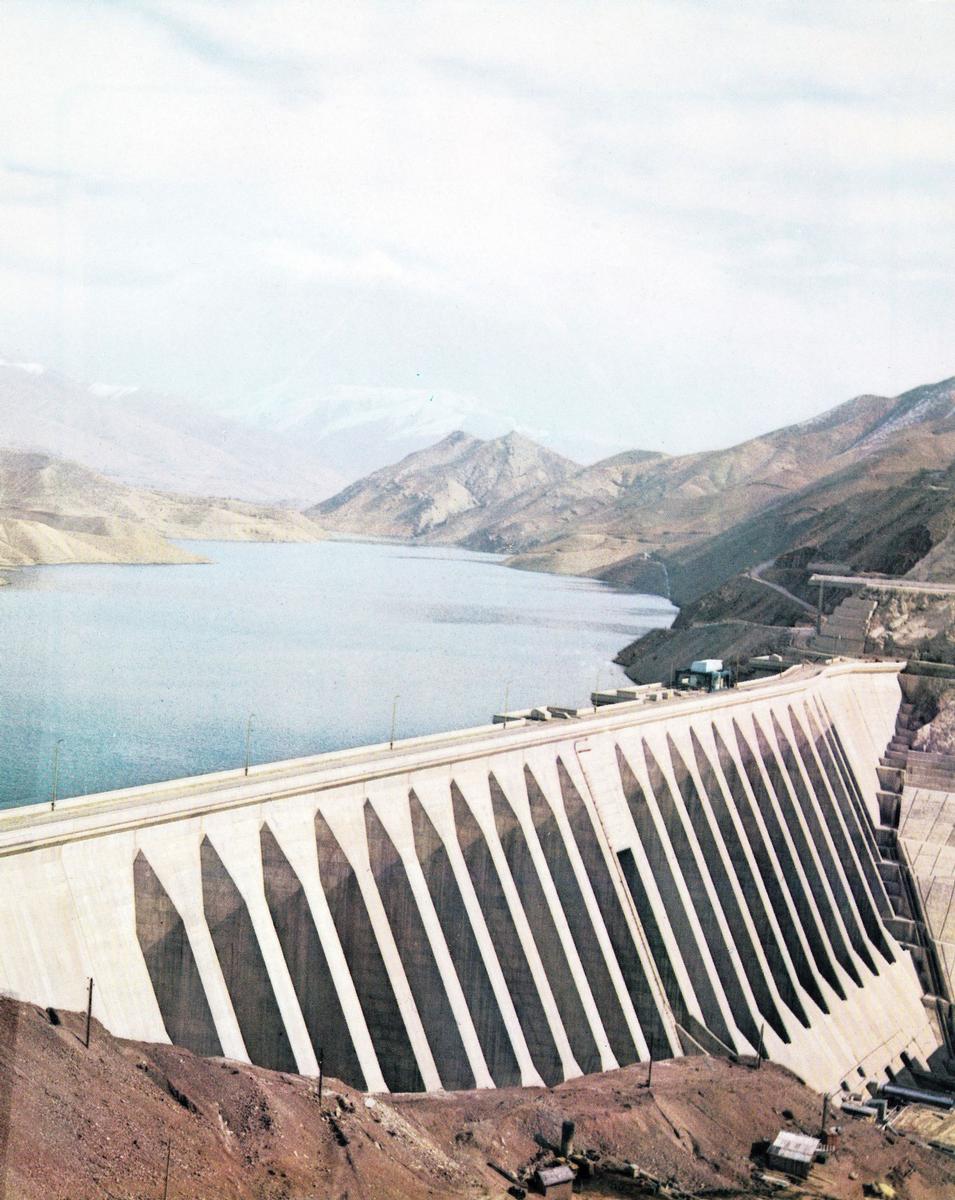
Gravity dam |
|---|---|
| Function / usage: |
Hydroelectric dam / plant |
| Material: |
Concrete dam |
Location
Technical Information
Dimensions
| height | 105 m | |
| crest length | 425 m | |
| crest thickness | 8 m |
Materials
| dam structure |
concrete
|
|---|
Chronology
| June 1990 | An earthquake of a magnitude of 7.3 (Richter) hits the area of the dam. The dam suffers extensive cracking in several locations in the area 18 m underneath the dam crest. |
|---|---|
|
4 March 1991
— 4 July 1991 |
Dam is strengthened using rock anchors. |
Participants
Strengthening (1990-1991)
Consulting engineers
Co-contractor
Subcontractor

Relevant Web Sites

Relevant Publications
- (1965): La construction du barrage de Menjil sur le Sefid-Roud (Iran). In: Travaux, n. 361 (January 1965), pp. 1.
- (2008): Experimental seismic investigation of Sefid-rud concrete buttress dam model on shaking table. In: Earthquake Engineering and Structural Dynamics, v. 37, n. 5 (25 April 2008), pp. 809-823.
- (1958): Iran - Le barrage de Menjil sur le Sefid Roud. In: Travaux, n. 286 (August 1958), pp. 783.
- (1991): Rehabilitation Works of the Sefid Rud Dam. In: VSL News, v. 2, n. 2 ( 1991), pp. 13.
- (2017): Seismic hazard analysis using simulated ground-motion time histories: The case of the Sefidrud dam, Iran. In: Soil Dynamics and Earthquake Engineering, v. 99 (August 2017), pp. 20-34.
- About this
data sheet - Structure-ID
20004058 - Published on:
01/07/2002 - Last updated on:
03/01/2018
Structurae cooperates with


