

General Information
| Completion: | 1953 |
|---|---|
| Status: | in use |
Project Type
| Structure: |
Deck truss bridge Continuous truss bridge |
|---|---|
| Function / usage: |
Road bridge |
| Material: |
Steel bridge Structurae Plus/Pro - Subscribe Now! |
Location
| Location: |
Sandomierz, Swietokrzyskie Voivodeship, Poland |
|---|---|
| Crosses: |
|
| Next to: |
New Sandomierz Bridge (2011)
|
| Coordinates: | 50° 40' 27.22" N 21° 45' 25.36" E |
Technical Information
Dimensions
| length | 456 m |
Materials
| piers |
reinforced concrete
|
|---|---|
| truss |
steel
|
Notes
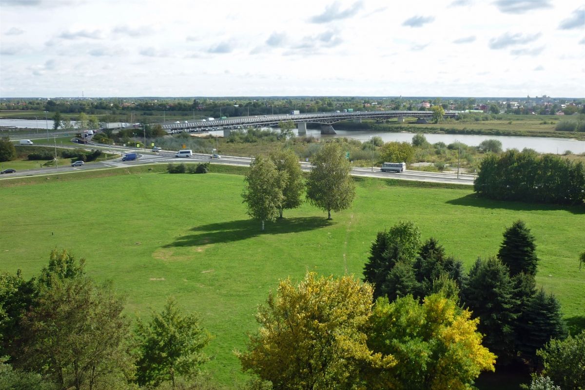
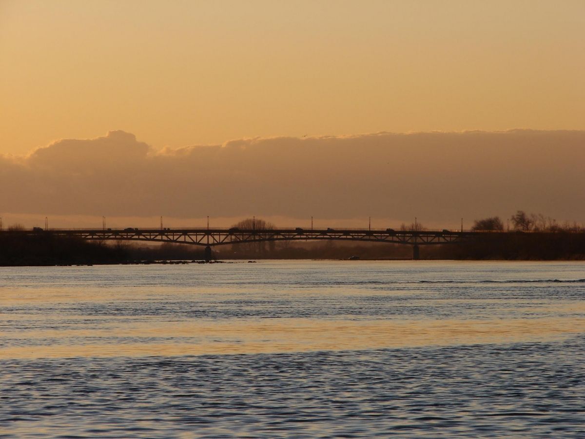
The Sandomierz Bridge was opened in 1953, almost same time as the Gora Kalwaria Bridge - and two resemble one another very much. Length 456 m. The bridge does not sit on any major transit route, though may be used for some limited transit. The traffic at times is quite intense, though mostly local. The bridge offers very nice view over a medieval town of Sandomierz, itself a lovely place to visit. Historically in Little Poland, now in-between the voivodships of Swietokrzyskie (left bank) and Podkarpackie (right bank). Probably the last bridge before Vistula takes shape of a big river. A publicly accessible footpath goes below the road surface.
Participants
Currently there is no information available about persons or companies having participated in this project.
Relevant Web Sites
There currently are no relevant websites listed.
Relevant Publications
- (1997): Mosty na Wisle i ich budowniczowie. Warsaw (Poland).
- About this
data sheet - Structure-ID
20006988 - Published on:
01/12/2002 - Last updated on:
28/03/2020
Structurae cooperates with


