
General Information
| Completion: | 29 April 1937 |
|---|---|
| Status: | in use |
Project Type
| Structure: |
Underground structure |
|---|---|
| Function / usage: |
Below grade metro or light-rail station |
Location
| Location: |
Neuilly-sur-Seine, Hauts-de-Seine (92), Ile-de-France, France |
|---|---|
| Part of: | |
| Coordinates: | 48° 53' 6" N 2° 15' 34.99" E |
Technical Information
There currently is no technical data available.
Excerpt from Wikipedia
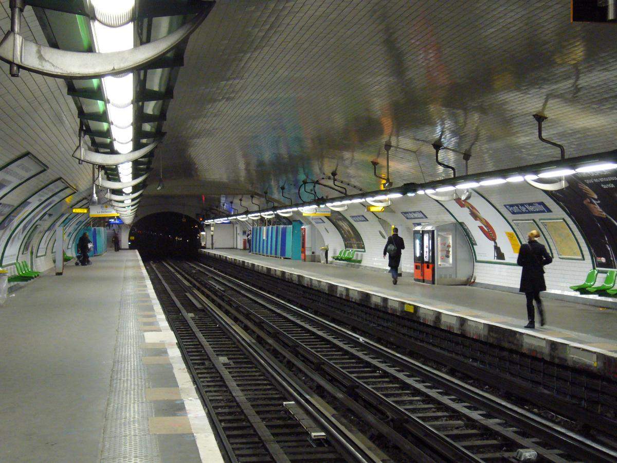
Pont de Neuilly is a station on Paris Métro Line 1, situated in the prosperous suburban commune of Neuilly-sur-Seine. Between 1940 and 1950 it was known as Pont de Neuilly, Avenue de Madrid.
It is named after the Pont de Neuilly, a nearby bridge. The bridge - which carries parallel road and rail links between Neuilly and La Défense, over the river Seine - is in fact nearer to the Esplanade de la Défense station than to the Pont de Neuilly station.
It was the western terminus of Line 1 from 1937 until 1992, when the western extension to La Défense was opened. Above the station lies an esplanade from which one can see the area of La Défense.
Text imported from Wikipedia article "Pont de Neuilly (Paris Métro)"
and modified on 23 July 2019 under the CC-BY-SA 3.0 license.
Participants
Currently there is no information available about persons or companies having participated in this project.
Relevant Web Sites

- About this
data sheet - Structure-ID
20051639 - Published on:
08/01/2010 - Last updated on:
25/01/2022
Structurae cooperates with


