
General Information
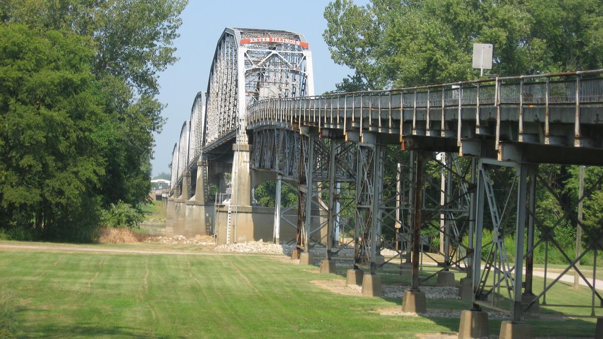
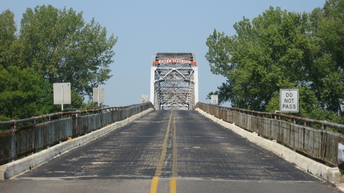
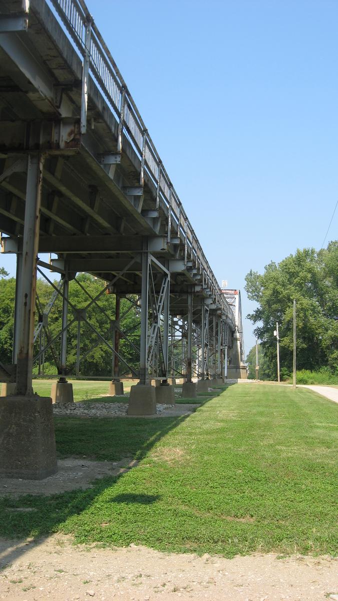
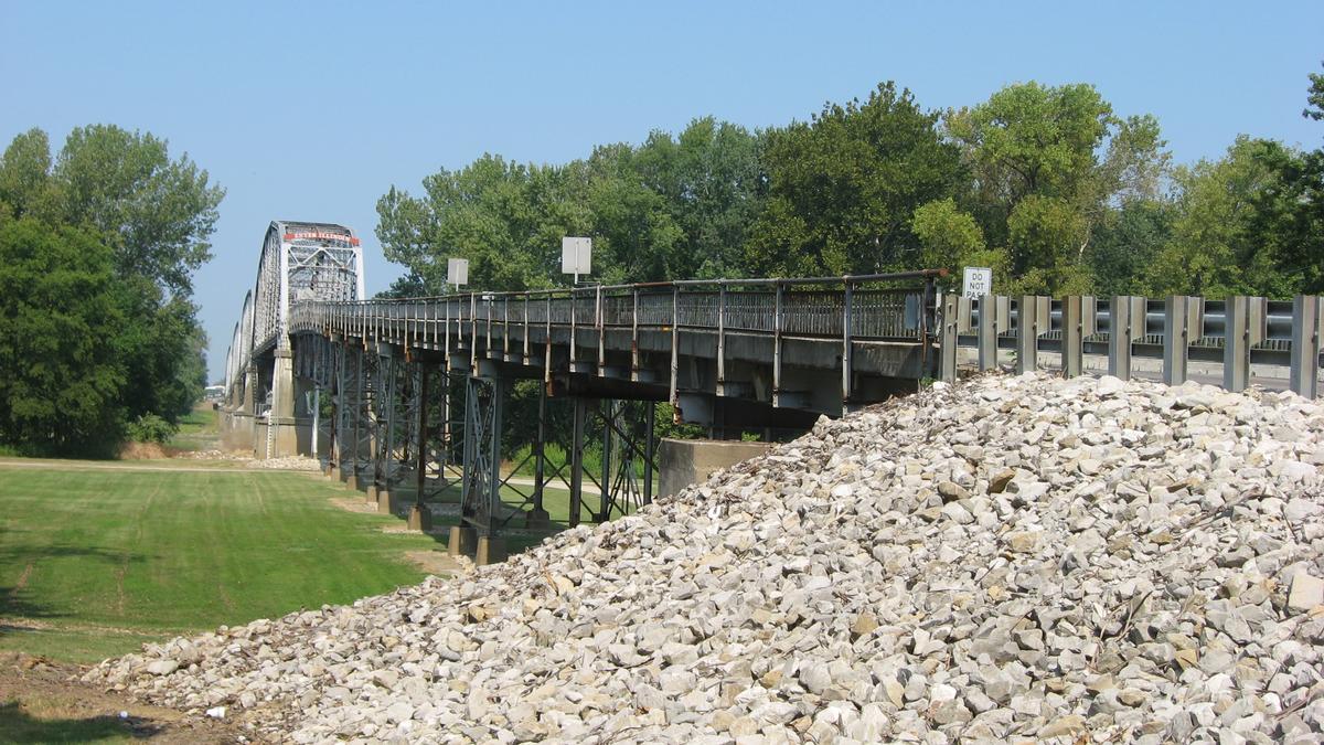
| Other name(s): | Harmony Way Bridge |
|---|---|
| Completion: | 1930 |
| Status: | out of service |
Project Type
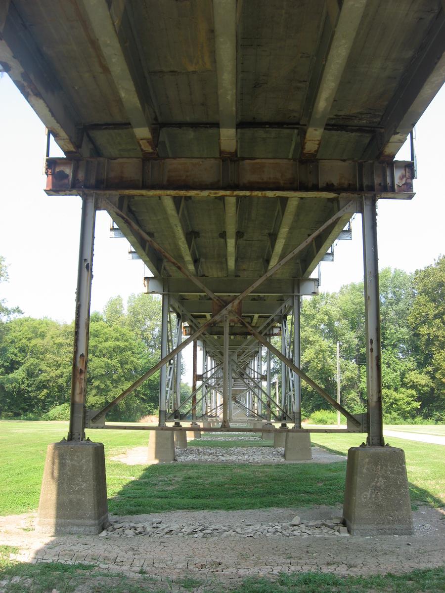
| Structure: |
Through truss bridge Parker type truss bridge |
|---|---|
| Function / usage: |
Road bridge |
| Material: |
Steel bridge |
Location
| Location: |
New Harmony, Posey County, Indiana, USA White County, Illinois, USA |
|---|---|
| Crosses: |
|
| Coordinates: | 38° 7' 52.91" N 87° 56' 33.22" W |
Technical Information
Dimensions
| main span | 91.38 m | |
| total length | 785.9 m | |
| deck width | 6.1 m |
Materials
| truss |
steel
|
|---|
Participants
Co-contractor
Relevant Web Sites

- About this
data sheet - Structure-ID
20012329 - Published on:
20/04/2005 - Last updated on:
04/06/2017
Structurae cooperates with


