
General Information
Project Type
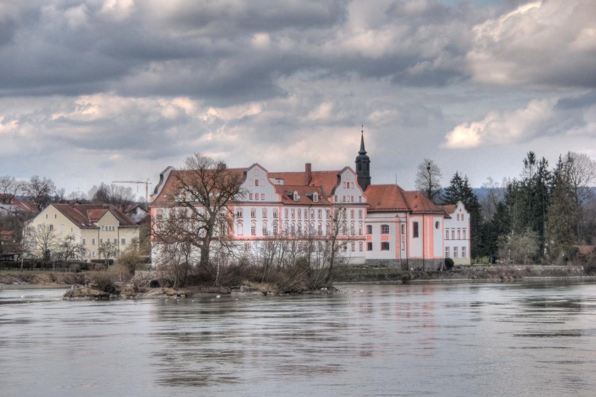
| Function / usage: |
Château |
|---|
Location
| Location: |
Neuhaus am Inn, Passau (Kreis), Bavaria, Germany |
|---|---|
| Along: |
|
| Coordinates: | 48° 27' 36.66" N 13° 25' 35.81" E |
Technical Information
There currently is no technical data available.
Participants
Currently there is no information available about persons or companies having participated in this project.
Relevant Web Sites
There currently are no relevant websites listed.
- About this
data sheet - Structure-ID
20032692 - Published on:
29/10/2007 - Last updated on:
28/05/2021
Structurae cooperates with


