
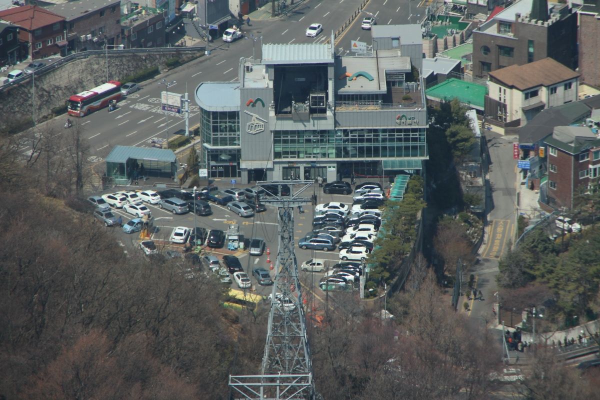
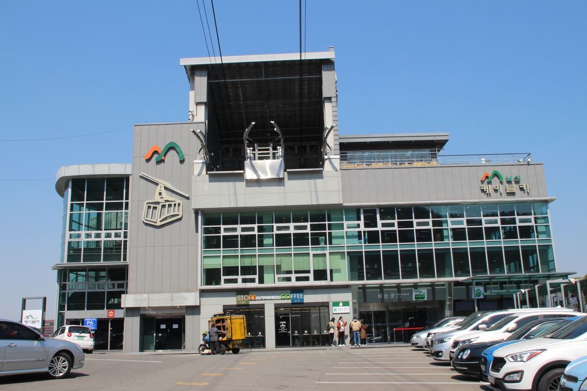
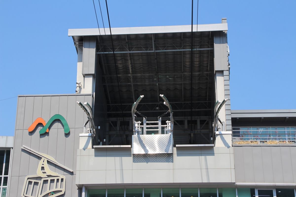
General Information
| Completion: | 1962 |
|---|---|
| Status: | in use |
Project Type
| Function / usage: |
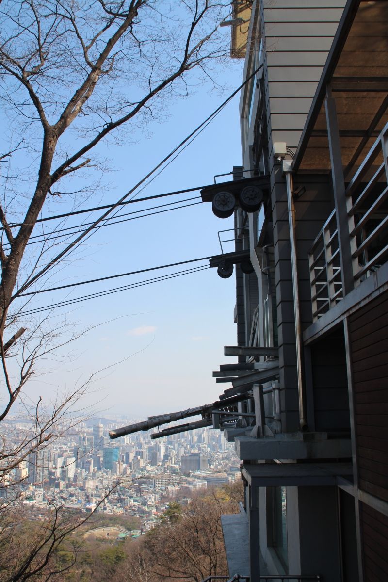
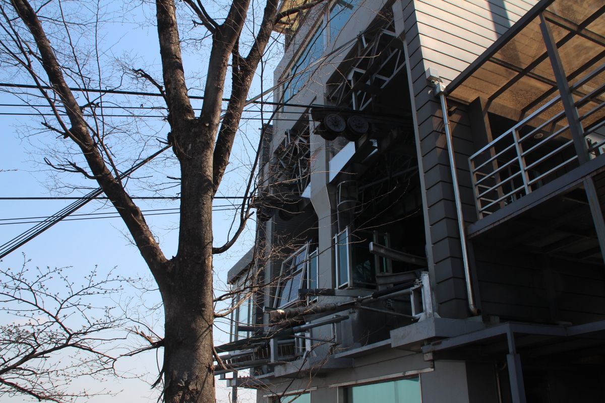
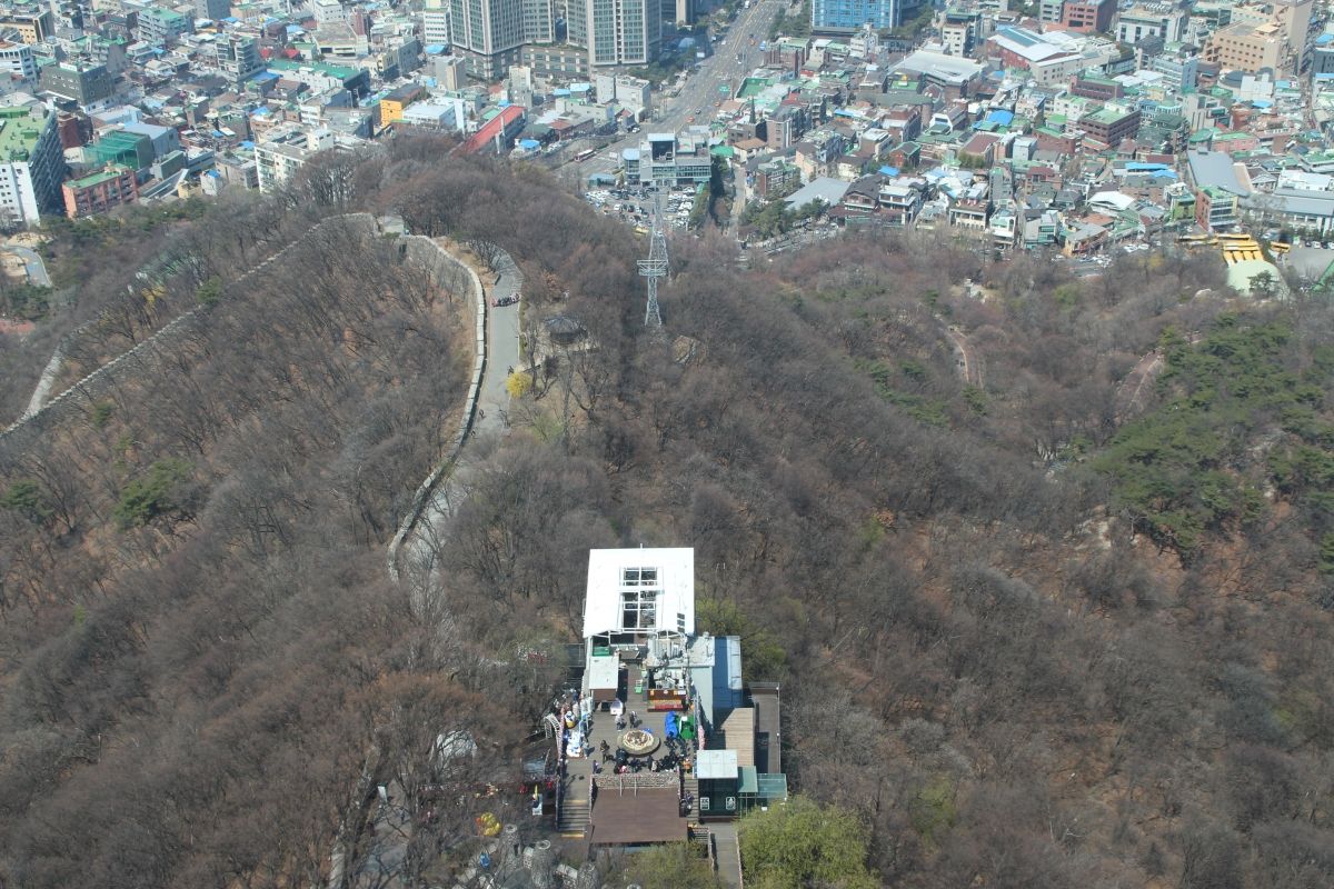
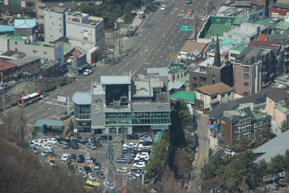
Aerial tramway |
|---|
Location
| Location: |
Seoul, South Korea |
|---|---|
| Coordinates: | 37° 33' 23.72" N 126° 59' 2.30" E |
| Coordinates: | 37° 33' 8.44" N 126° 59' 14.56" E |
Technical Information
Dimensions
| cable length | 605 m | |
| height difference | 138 m |
Participants
Currently there is no information available about persons or companies having participated in this project.
Relevant Web Sites
There currently are no relevant websites listed.
- About this
data sheet - Structure-ID
20077648 - Published on:
10/07/2019 - Last updated on:
12/07/2019
Structurae cooperates with


