
General Information
| Name in local language: | Most Powstańców Śląskich |
|---|---|
| Completion: | 1971 |
| Status: | in use |
Project Type
| Structure: |
Girder bridge |
|---|---|
| Function / usage: |
Road bridge |
Location
| Location: |
Cracow, Lesser Poland Voivodeship, Poland |
|---|---|
| Crosses: |
|
| Coordinates: | 50° 2' 57.34" N 19° 57' 11.51" E |
Technical Information
Dimensions
| width | 19.0 m | |
| total length | 147 m |
Notes
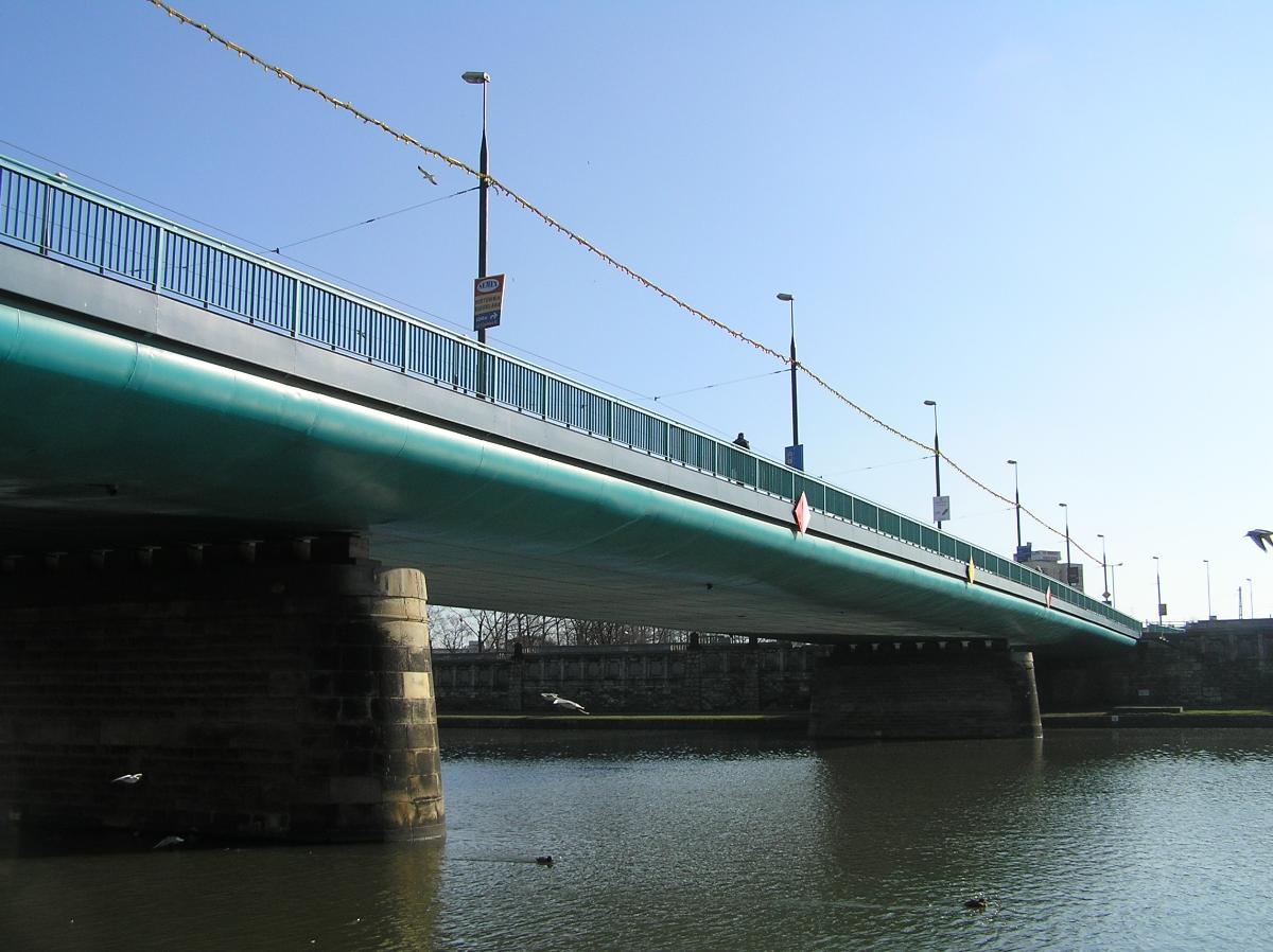
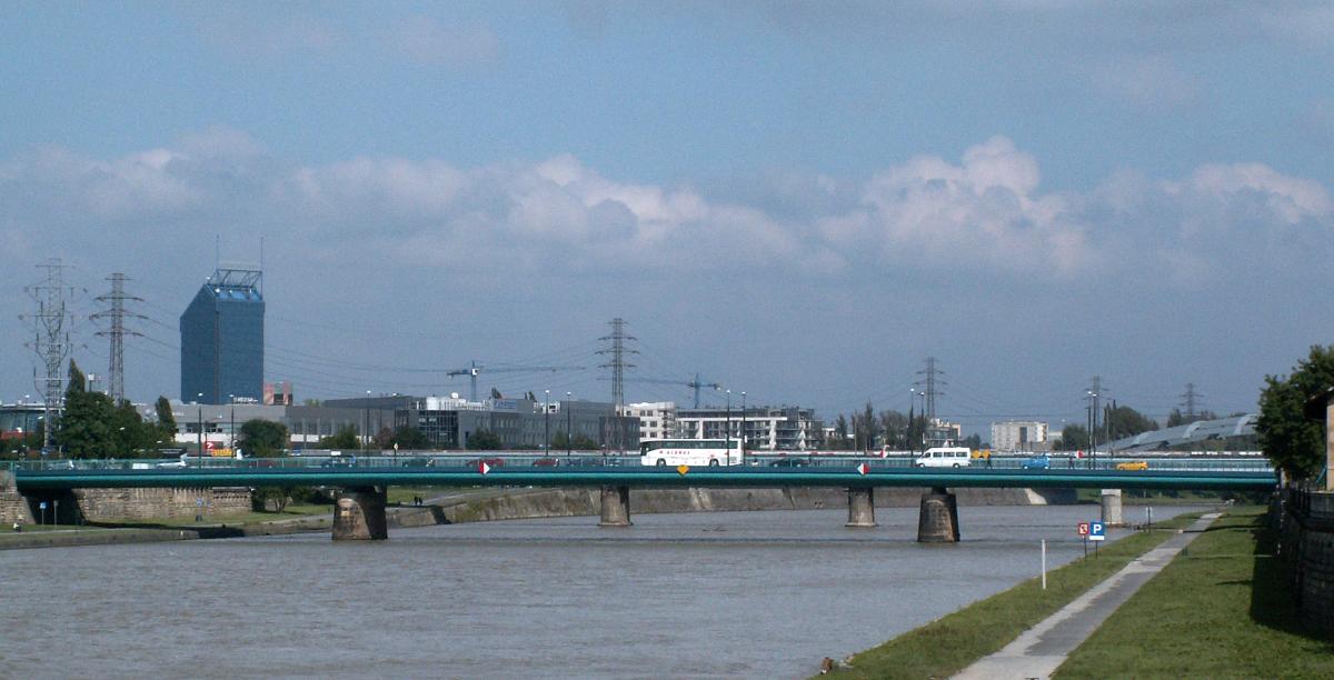
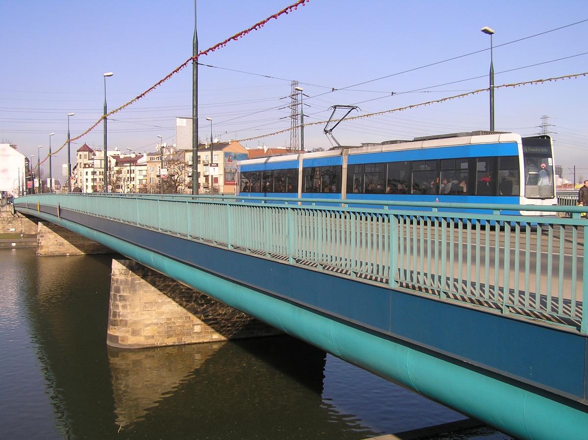
The Krakow Silesian Uprising Soldiers Bridge is the fifth one in sequence opened in Krakow (1971), named to commemorate the military action of Silesian Poles against the Germans in 1921. Offers probably the shortest and fastest connection of the city centre and huge residential quarters of Prokocim, Biezanów and Kurdwanów. May also be used for transit to Tarnów and the Ukraine. Unsurprisingly, the traffic tends to be very heavy here. Length 147 m, width 19 m, 3 pillars, tram track in the middle. Admittedly an ugly bridge of industrial look. The city gets ugly here as well; historical districts give way to industrial quarters. But still, looking up the straight Starowislna Street, one might see the Virgin Mary Church, the icon of both Krakow and Poland.
Participants
Currently there is no information available about persons or companies having participated in this project.
Relevant Web Sites
There currently are no relevant websites listed.
- About this
data sheet - Structure-ID
20006895 - Published on:
19/11/2002 - Last updated on:
17/04/2021
Structurae cooperates with


