
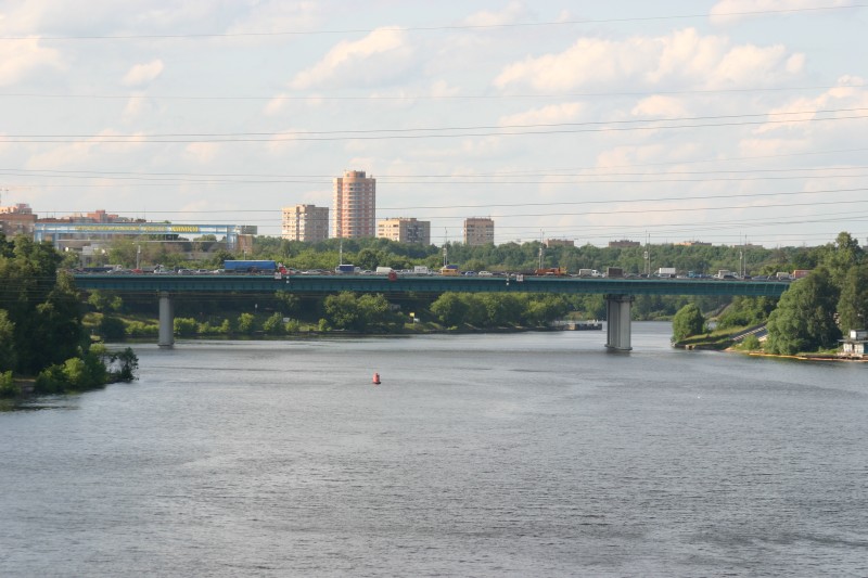
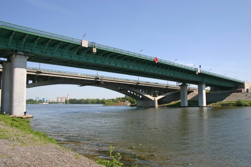
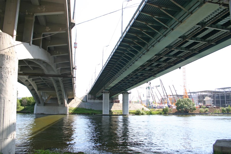
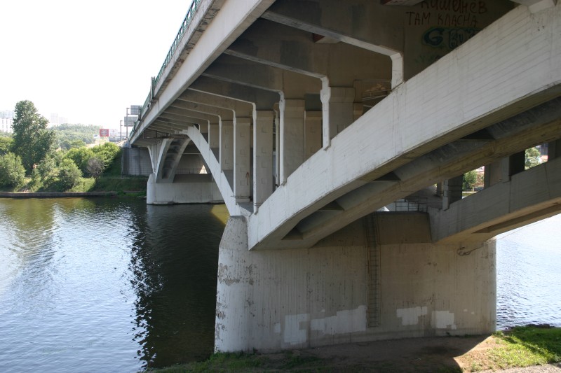
General Information
| Completion: | 1961 |
|---|---|
| Status: | in use |
Project Type
| Function / usage: |
Motorway / Freeway / Interstate |
|---|
Location
| km | Name |
| 19 |
Technical Information
Dimensions
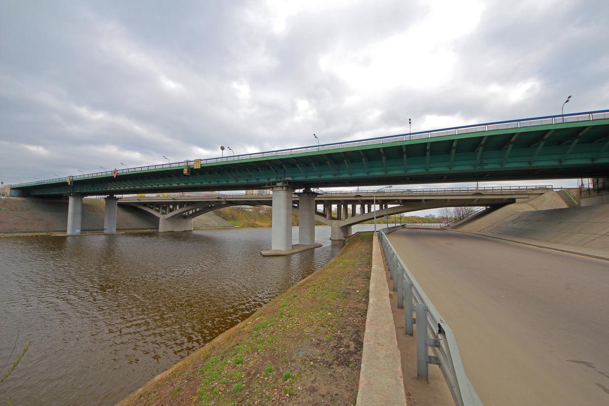
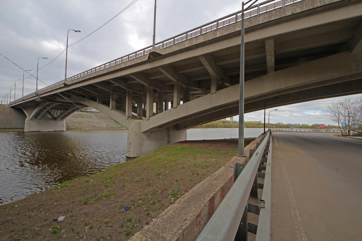
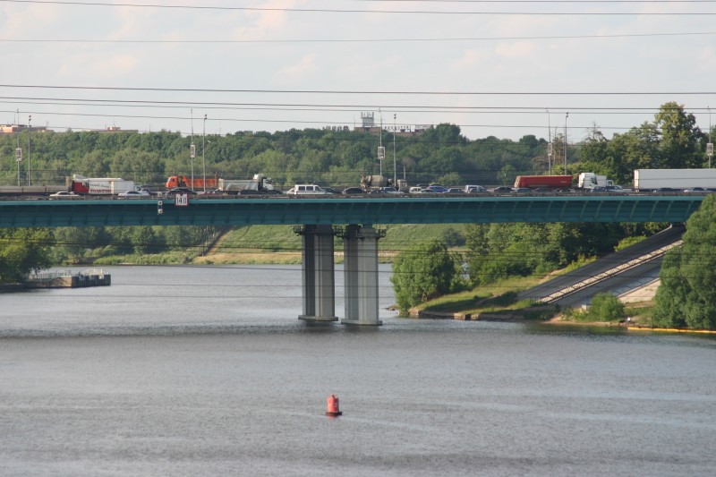
| length | 109 km |
Chronology
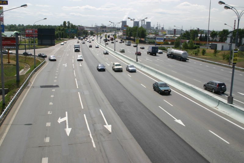
| 1995 — 1997 | The road is widened from an initial four to ten lanes, while all intersections are converted to grade-separated exchanges, bridges are built to accommodate pedestrians, traffic lights are removed, and a solid concrete barrier is installed in the median. |
|---|---|
| 2001 | All slow-moving vehicles are banned from entering the MKAD and the renovated road receives a freeway designation from the mayor's office. |
Participants
Currently there is no information available about persons or companies having participated in this project.
Relevant Web Sites
There currently are no relevant websites listed.
- About this
data sheet - Structure-ID
10001079 - Published on:
31/05/2007 - Last updated on:
28/06/2020
Structurae cooperates with


