

General Information
Project Type
| Structure: |
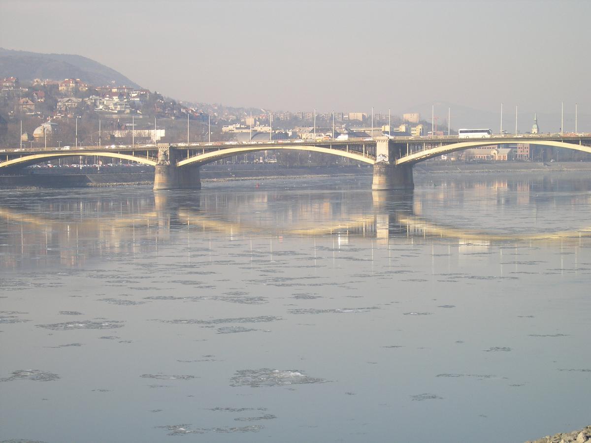
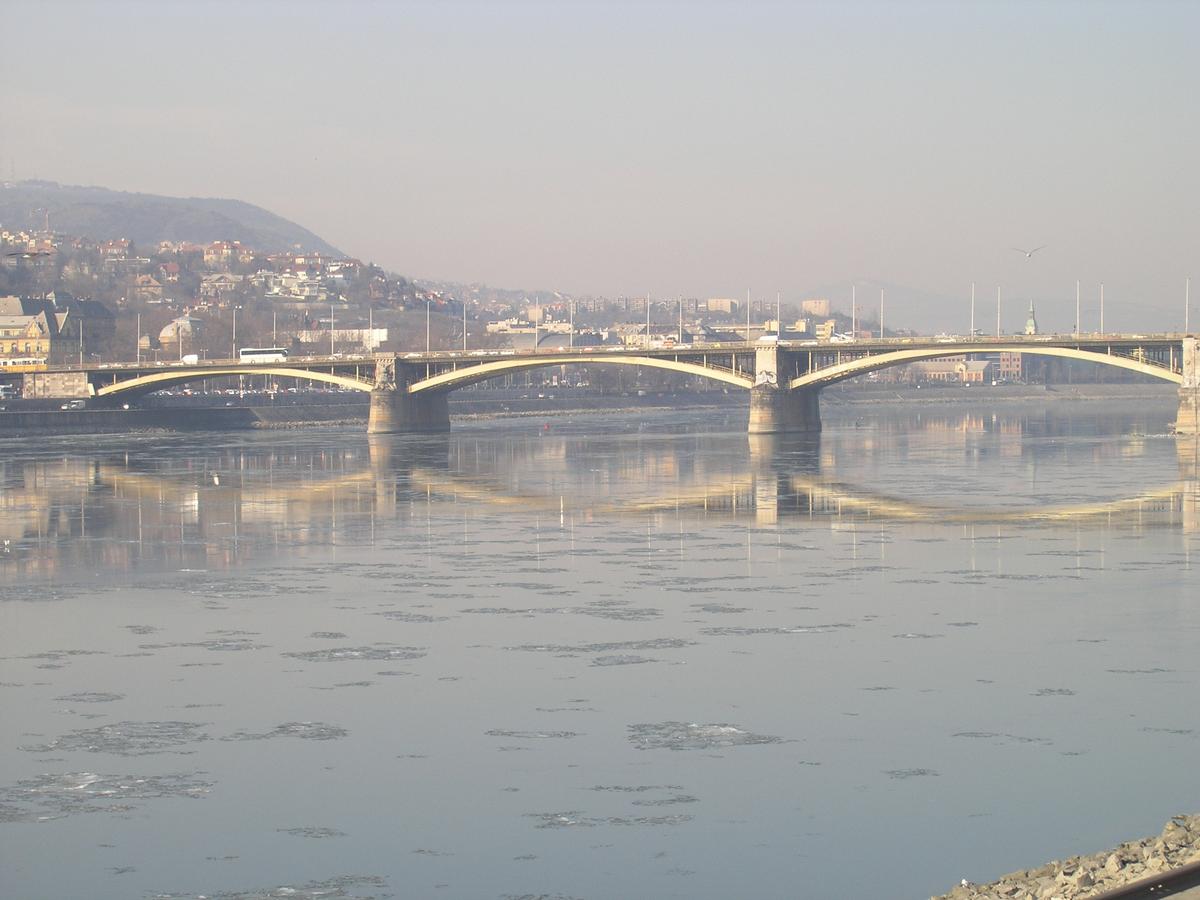
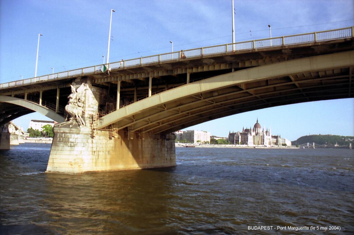
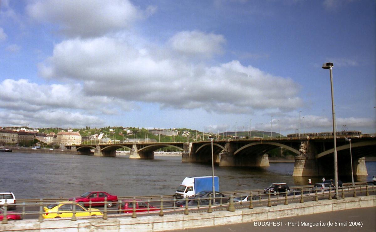
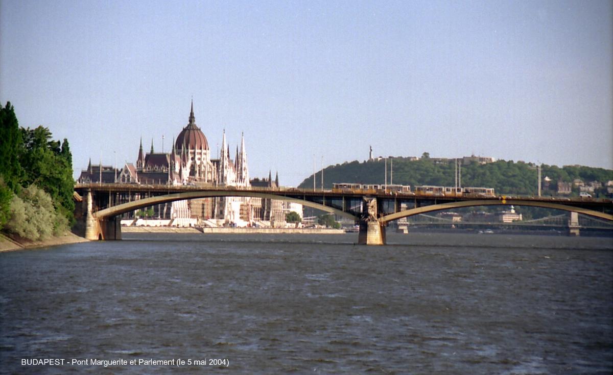
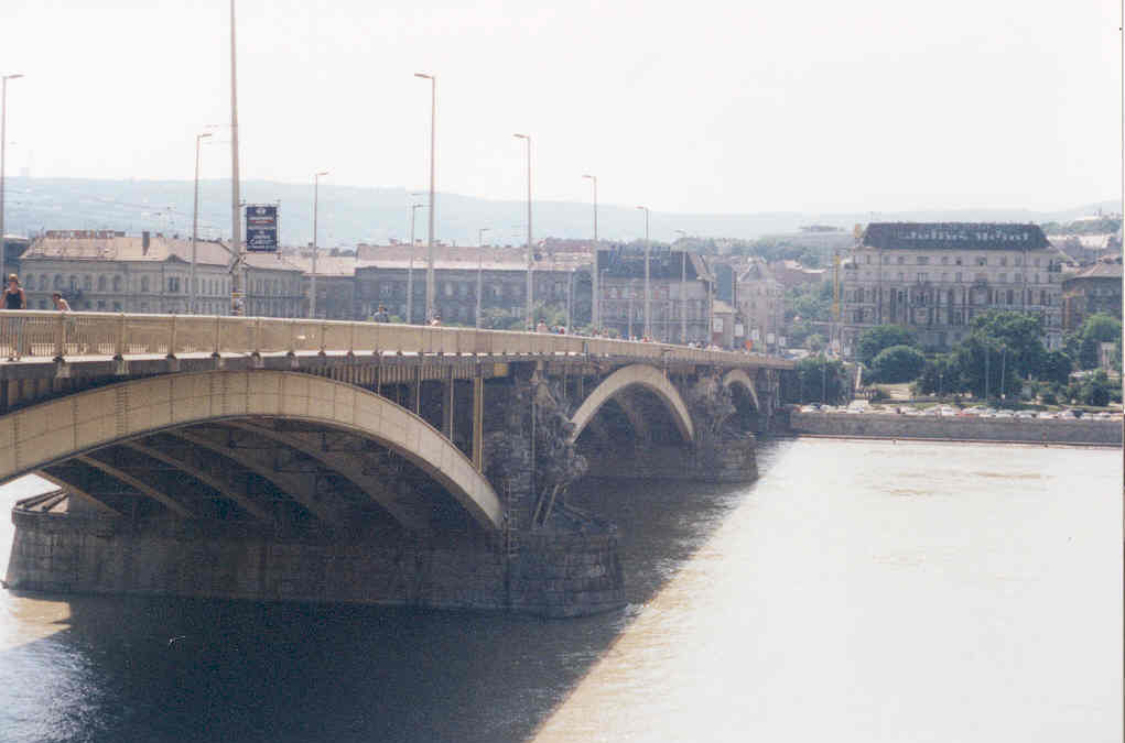
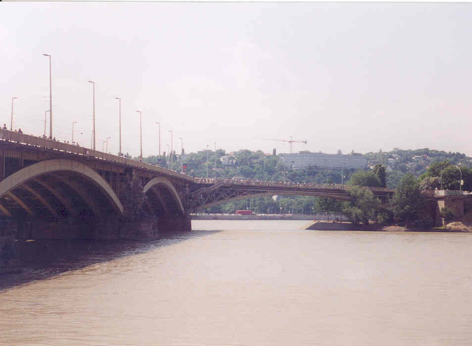
Deck arch bridge |
|---|---|
| Function / usage: |
Road bridge |
Location
Technical Information
Dimensions
| main span | 87.88 m | |
| rise | 7.30 m |
Chronology
| 1935 — 1939 | Widening. |
|---|---|
| 4 November 1944 | The Wehrmacht's mines explode prematurely on half the bridge killing 50 people and injuring up to 70. |
| 18 January 1945 | Remainder is dynamited. |
Participants
Relevant Web Sites

Relevant Publications
- (1988): Ponts et viaducs au XIXème siècle. Poitiers (France), pp. 370.
- (1948): La reconstruction du pont Marguerite à Budapest. In: Ossature métallique, v. 13 (September 1948), pp. 357-366.
- About this
data sheet - Structure-ID
20002737 - Published on:
20/01/2002 - Last updated on:
05/02/2016
Structurae cooperates with


