
General Information
| Completion: | 1979 |
|---|---|
| Status: | in use |
Project Type
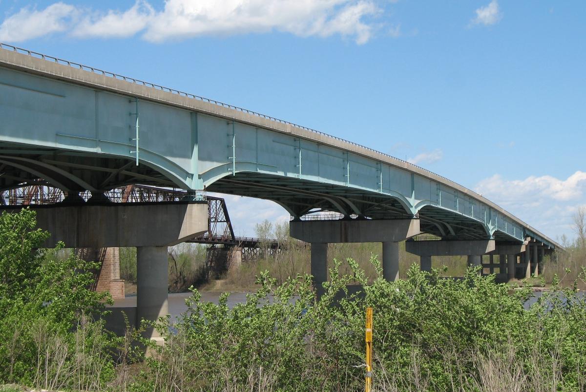
| Structure: |
Twin girder bridge Haunched girder bridge |
|---|---|
| Support conditions: |
for registered users |
| Function / usage: |
Road bridge |
| Material: |
Structurae Plus/Pro - Subscribe Now! |
Location
| Location: |
Saint Louis County, Missouri, USA Saint Charles County, Missouri, USA |
|---|---|
| Address: | U.S. Route 67 |
| Crosses: |
|
| Coordinates: | 38° 50' 33.42" N 90° 14' 7.32" W |
Technical Information
There currently is no technical data available.
Excerpt from Wikipedia
The Lewis Bridge is a four lane bridge carrying U.S. Route 67 across the Missouri River between St. Louis County and St. Charles County, Missouri. It replaced an earlier narrow, 2-lane through truss bridge of the same name that ran adjacent to the Bellefontaine Bridge.
The original bridge was opened in 1927; it was replaced in 1979. The new bridge was rehabilitated in 2006.
Text imported from Wikipedia article "Lewis Bridge (Missouri River)"
and modified on 15 November 2021 according to the CC-BY-SA 3.0 license.
Participants
Currently there is no information available about persons or companies having participated in this project.
Relevant Web Sites

- About this
data sheet - Structure-ID
20029603 - Published on:
31/07/2007 - Last updated on:
14/11/2021
Structurae cooperates with


