
General Information
Project Type
| Structure: |
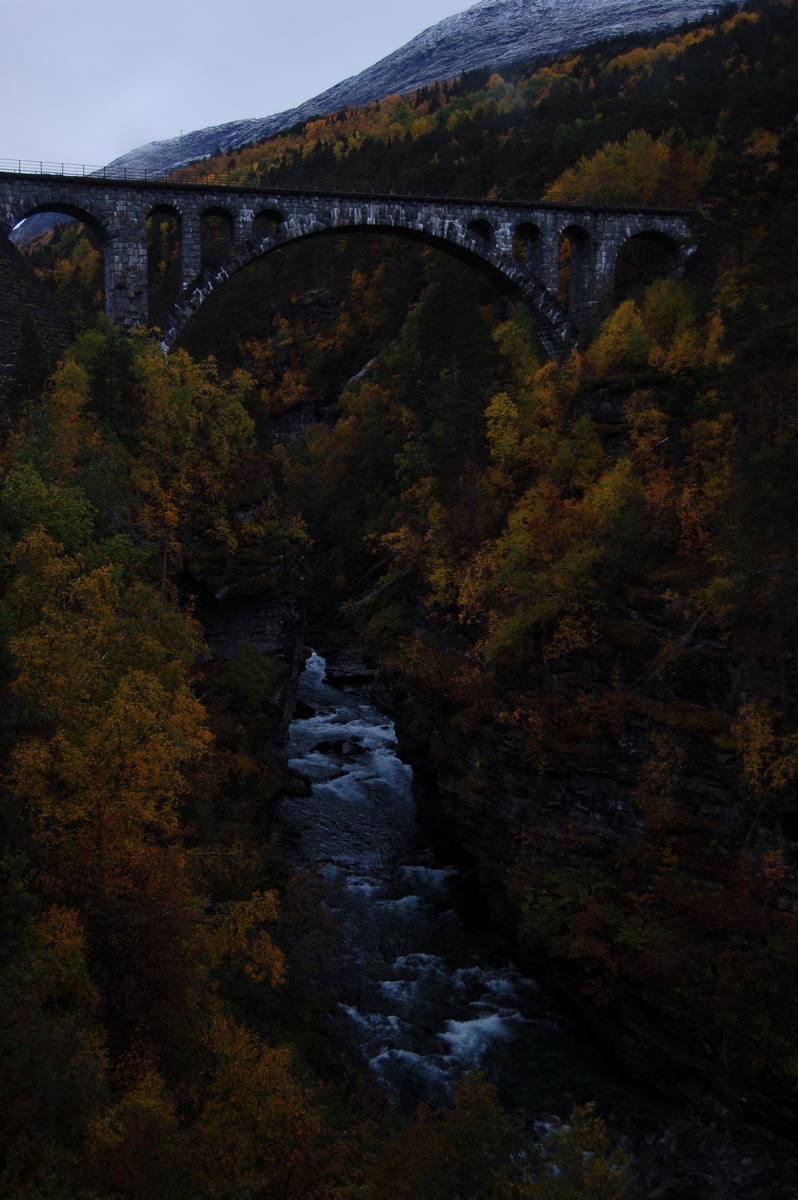
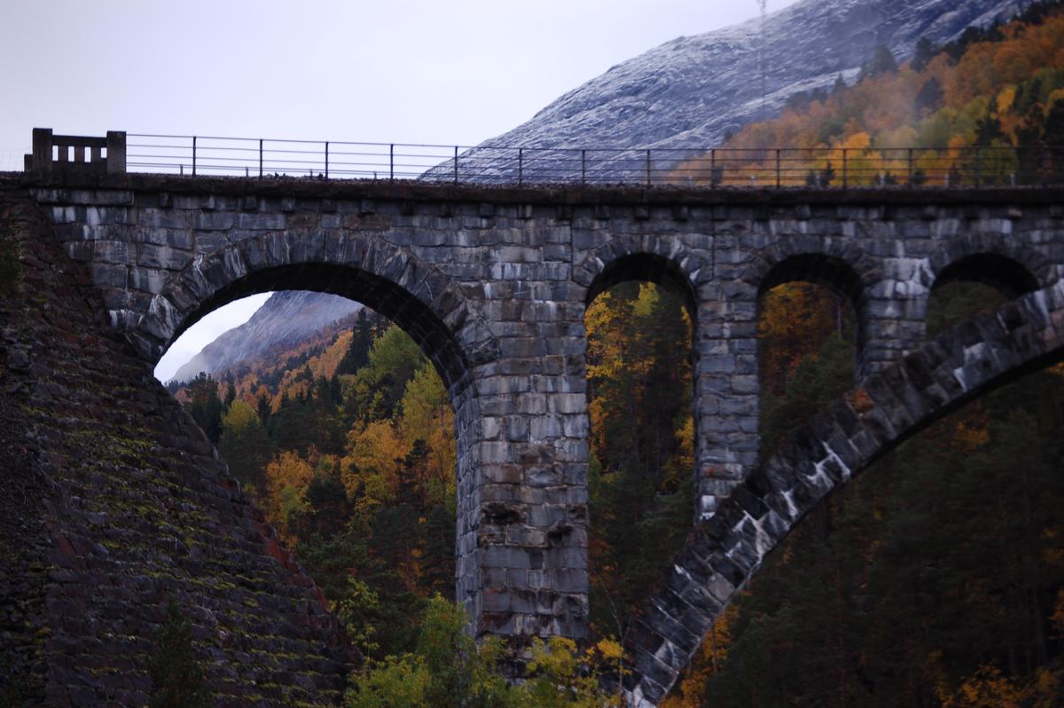
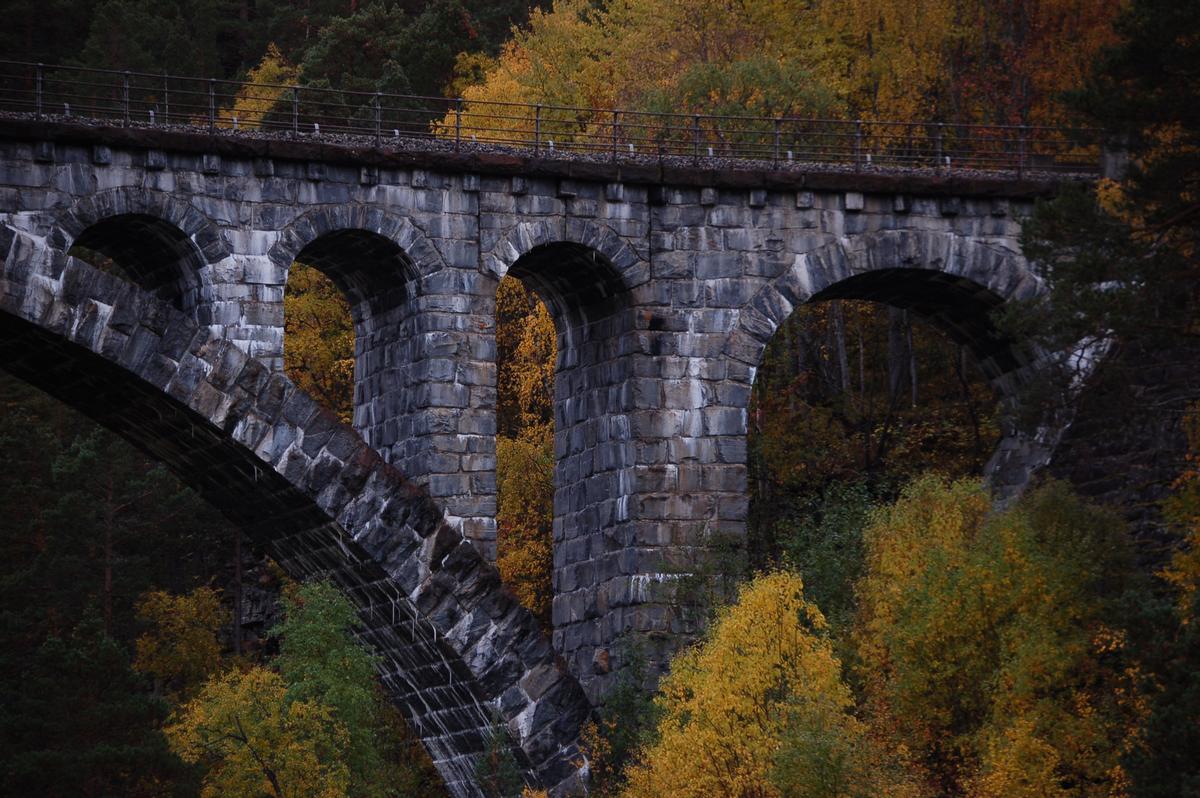
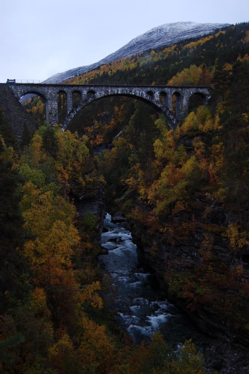
Vaulted arch bridge |
|---|---|
| Function / usage: |
Road bridge |
| Material: |
Masonry bridge |
Location
| Location: |
Møre og Romsdal, Norway |
|---|---|
| Coordinates: | 62° 20' 16.87" N 8° 3' 35.11" E |
Technical Information
Dimensions
| main span | 42 m | |
| length | 76 m |
Cost
| cost of construction | Norwegian krone 676 000 |
Excerpt from Wikipedia
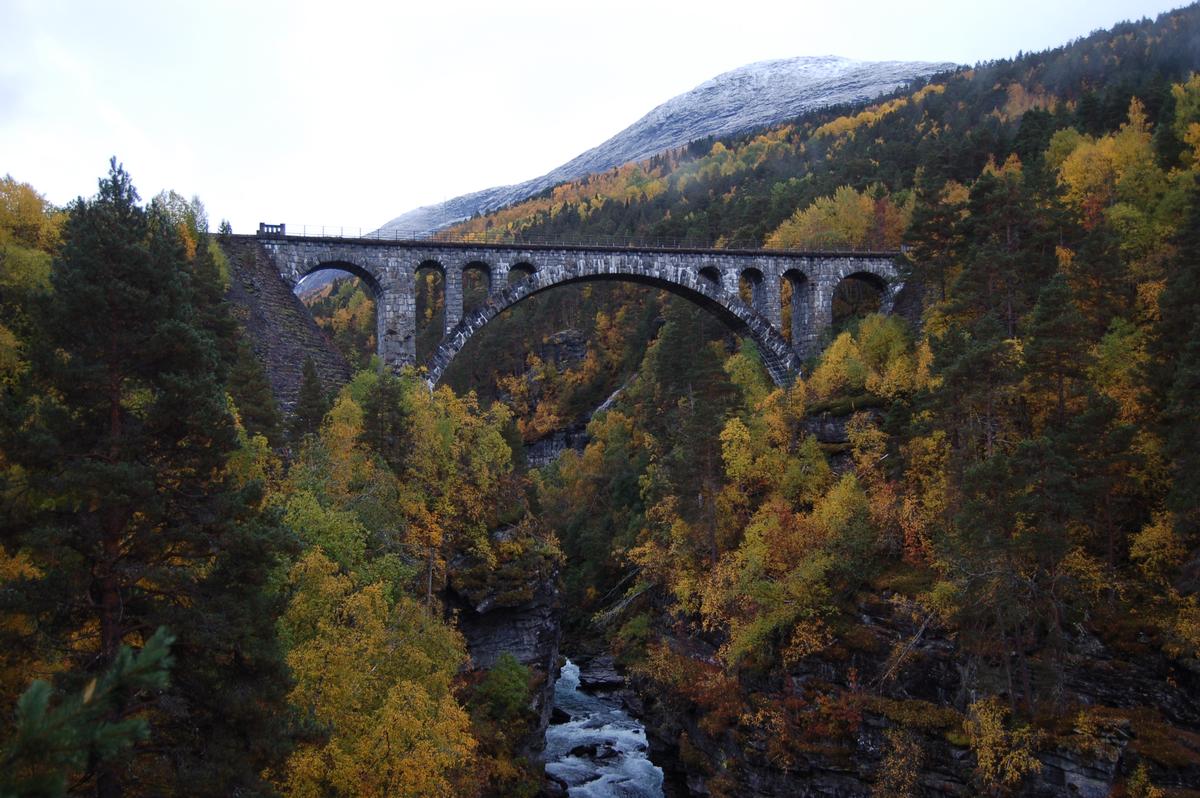
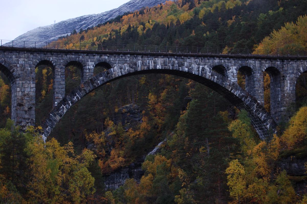
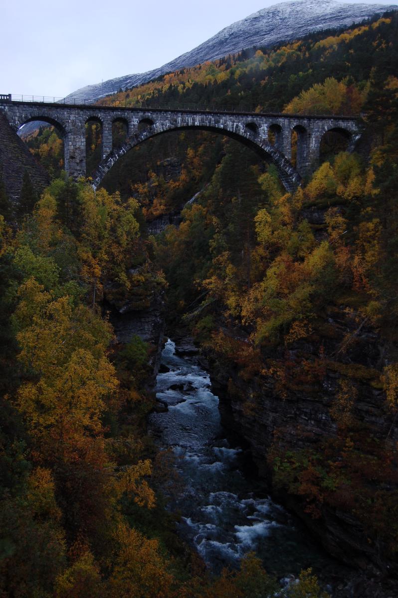
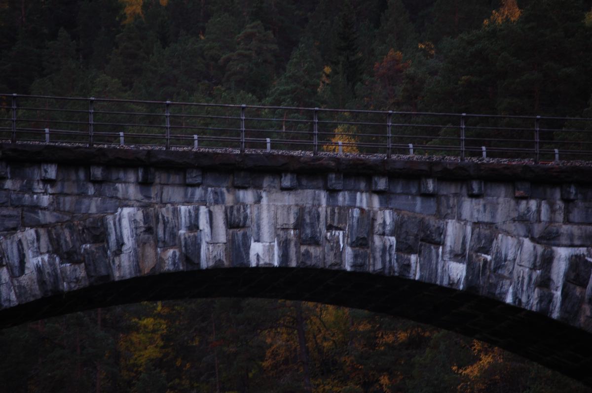
The Kylling Bridge (Norwegian:Kylling bru) is a railway bridge in Rauma Municipality in Møre og Romsdal county, Norway. The bridge crosses the Rauma River near the village of Verma in the upper part of the Romsdalen valley. The bridge is part of a double horseshoe curve that allows the railway to pass a narrow and steep section of the valley. It is one of the most photographed railway bridges in Norway. The Kylling Bridge is 76 metres (249 ft) long. The main span is 42 metres (138 ft), and side spans are 10 metres (33 ft) and 8 metres (26 ft). The clearance to the river below is 59.3 metres (195 ft).
The construction of the Kylling Bridge started in September 1913. After almost 9 years, the bridge was finally finished in the winter of 1921. The Rauma Line railway opened on 29 November 1924. The Kylling Bridge cost 676,000 kr.
Text imported from Wikipedia article "Kylling Bridge" and modified on 23 July 2019 under the CC-BY-SA 3.0 license.
Participants
Currently there is no information available about persons or companies having participated in this project.
Relevant Web Sites

- About this
data sheet - Structure-ID
20040946 - Published on:
07/12/2008 - Last updated on:
18/10/2017
Structurae cooperates with


