
General Information
| Completion: | 2009 |
|---|---|
| Status: | damaged (2011) |
Project Type
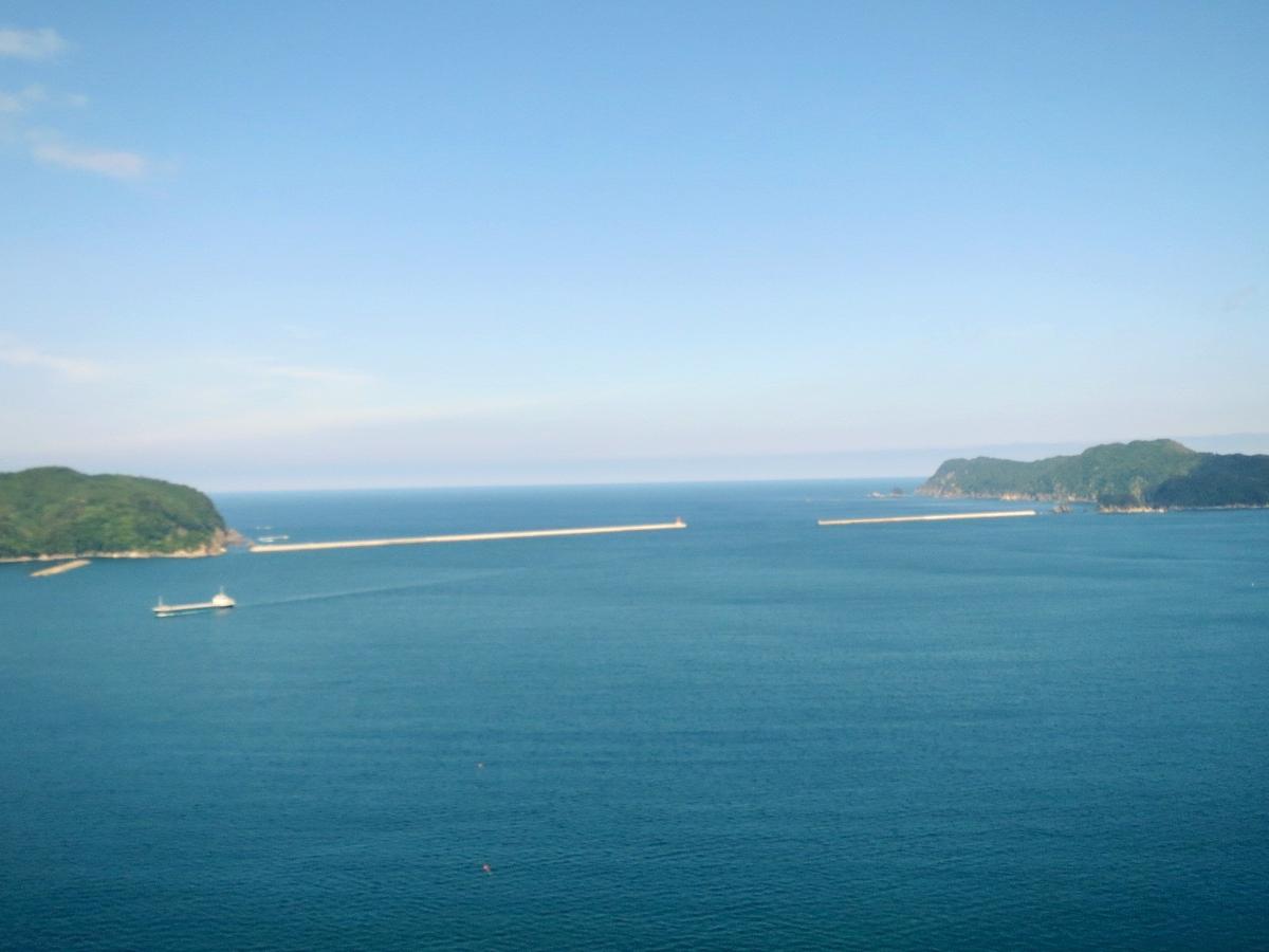
| Function / usage: |
Sea defence |
|---|
Location
| Location: |
Kamaishi, Iwate, Japan |
|---|---|
| Coordinates: | 39° 15' 39.04" N 141° 55' 45.81" E |
| Coordinates: | 39° 15' 12.91" N 141° 56' 3.77" E |
Technical Information
Dimensions
| height | 63 m | |
| length | 1 950 m |
Chronology
| 11 March 2011 | The tsunami caused by the Tōhoku earthquake with a magnitude of 9.0 (Mw) significantly damages the breakwater. |
|---|
Participants
Currently there is no information available about persons or companies having participated in this project.
Relevant Web Sites
There currently are no relevant websites listed.
- About this
data sheet - Structure-ID
20062454 - Published on:
11/11/2011 - Last updated on:
22/11/2021
Structurae cooperates with


