
General Information
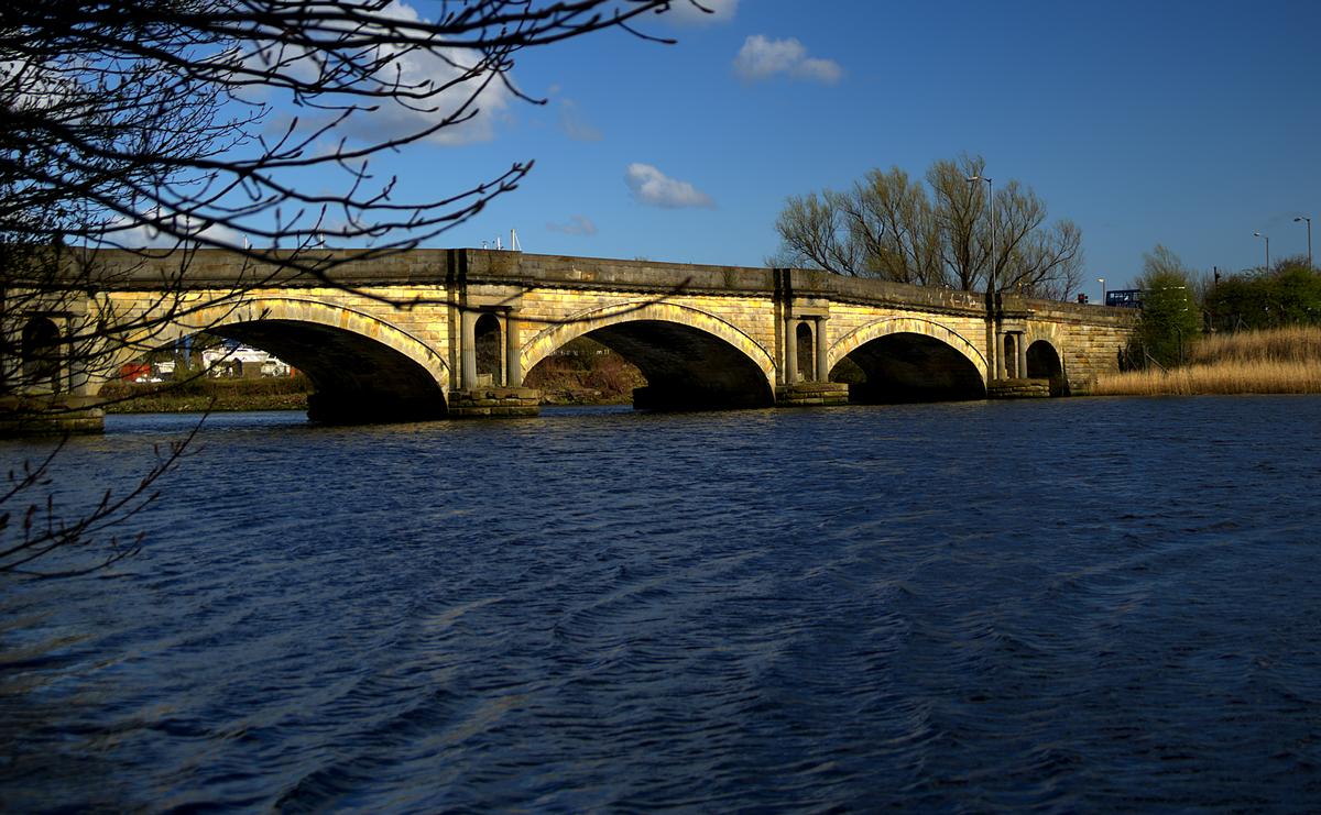
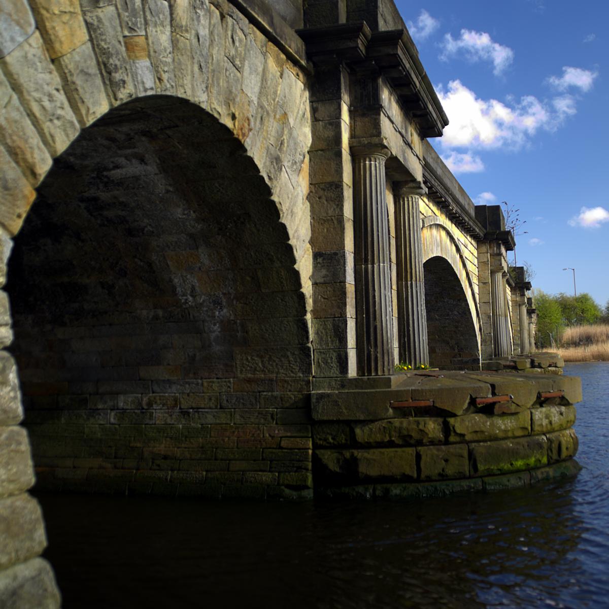
| Other name(s): | Black Cart Bridge |
|---|---|
| Completion: | 1812 |
| Status: | in use |
Project Type
| Structure: |
Vaulted arch bridge |
|---|---|
| Function / usage: |
Road bridge |
| Material: |
Masonry bridge |
Location
| Location: |
Renfrew, Renfrewshire, Scotland, United Kingdom |
|---|---|
| Address: | Greenock Road |
| Coordinates: | 55° 52' 51.52" N 4° 24' 42.57" W |
Technical Information
There currently is no technical data available.
Participants
Design
- Robertson Buchanan (designer)
Relevant Web Sites
There currently are no relevant websites listed.
- About this
data sheet - Structure-ID
20021610 - Published on:
16/05/2006 - Last updated on:
28/05/2021
Structurae cooperates with


