
General Information
| Other name(s): | Carrefour Marcadet Metro Station; Marcadet – Balagny Metro Station |
|---|---|
| Completion: | 26 February 1911 |
| Status: | in use |
Project Type
| Structure: |
Underground structure |
|---|---|
| Function / usage: |
Below grade metro or light-rail station |
Location
| Location: |
Paris (17th), Paris, Ile-de-France, France |
|---|---|
| Part of: | |
| Coordinates: | 48° 53' 34.19" N 2° 19' 37.50" E |
Technical Information
Dimensions
| number of tracks | 2 | |
| platforms | number | 2 |
Excerpt from Wikipedia
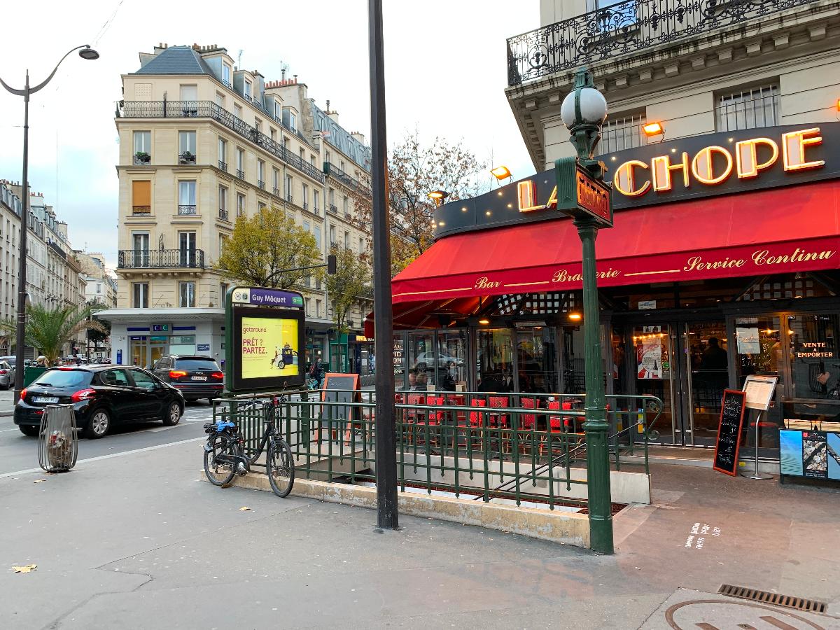
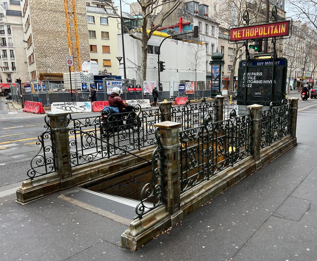
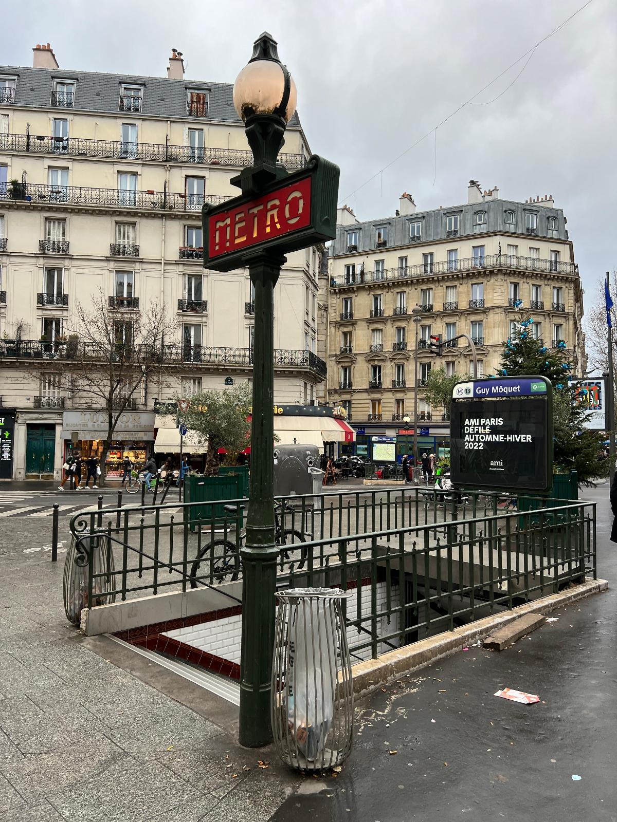
Guy Môquet is a station on line 13 of the Paris Métro on the border of the 17th and 18th arrondissements.
The station opened on 26 February 1911 as part of the Nord-Sud Company's line B from Saint-Lazare to Porte de Saint-Ouen. On 27 March 1931 line B became line 13 of the Métro. It was originally called Carrefour Marcadet (Marcadet crossroad). In 1912 it was renamed Marcadet-Balagny after the mayor of Batignolles-Monceau (a former commune largely absorbed into the 17th arrondissement in 1860) from 1843 to 1848 and first mayor of the 17th arrondissement from 1860. It was renamed Guy Môquet in 1946, when the Rue Balagny was renamed in honour of a member of the French Resistance Guy Môquet, who was killed at the age of seventeen.
Text imported from Wikipedia article "Guy Môquet (Paris Métro)" and modified on 23 July 2019 under the CC-BY-SA 3.0 license.
Participants
Currently there is no information available about persons or companies having participated in this project.
Relevant Web Sites

- About this
data sheet - Structure-ID
20051557 - Published on:
08/01/2010 - Last updated on:
01/04/2022
Structurae cooperates with


