
General Information
Project Type
| Function / usage: |
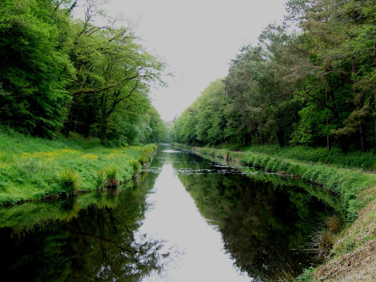
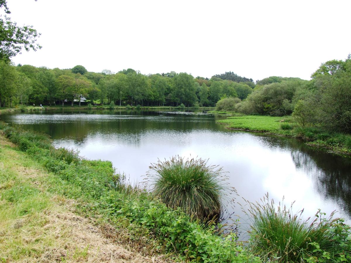
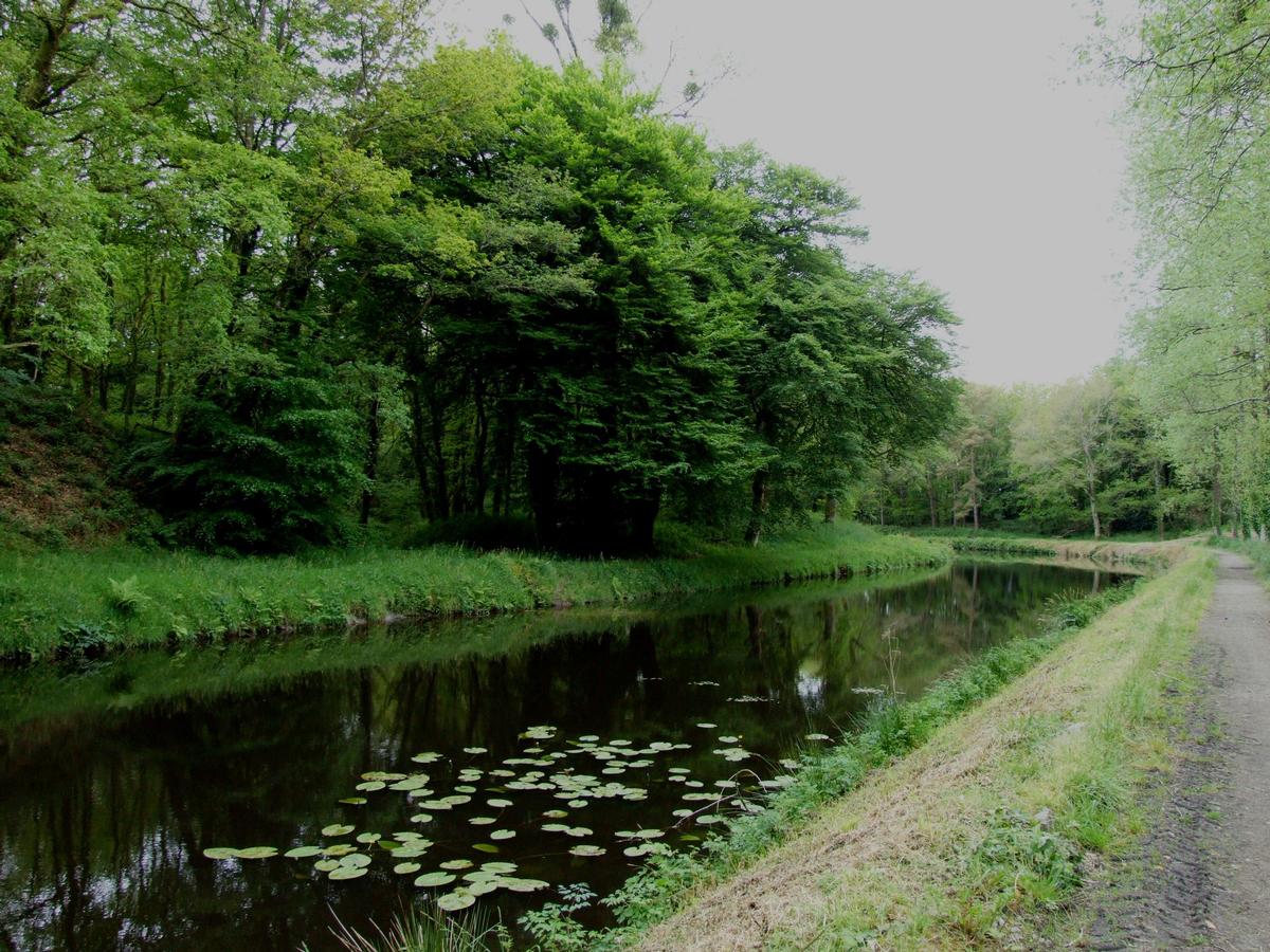
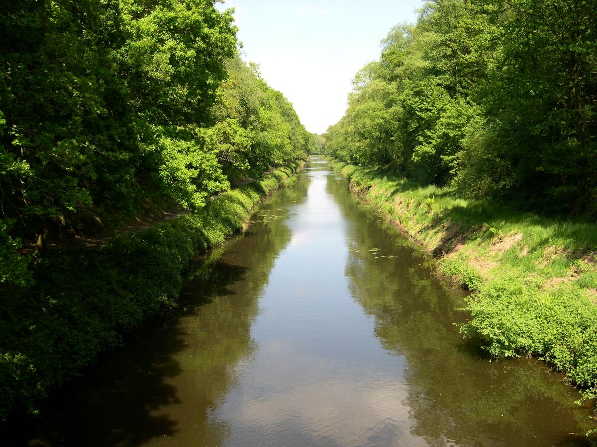
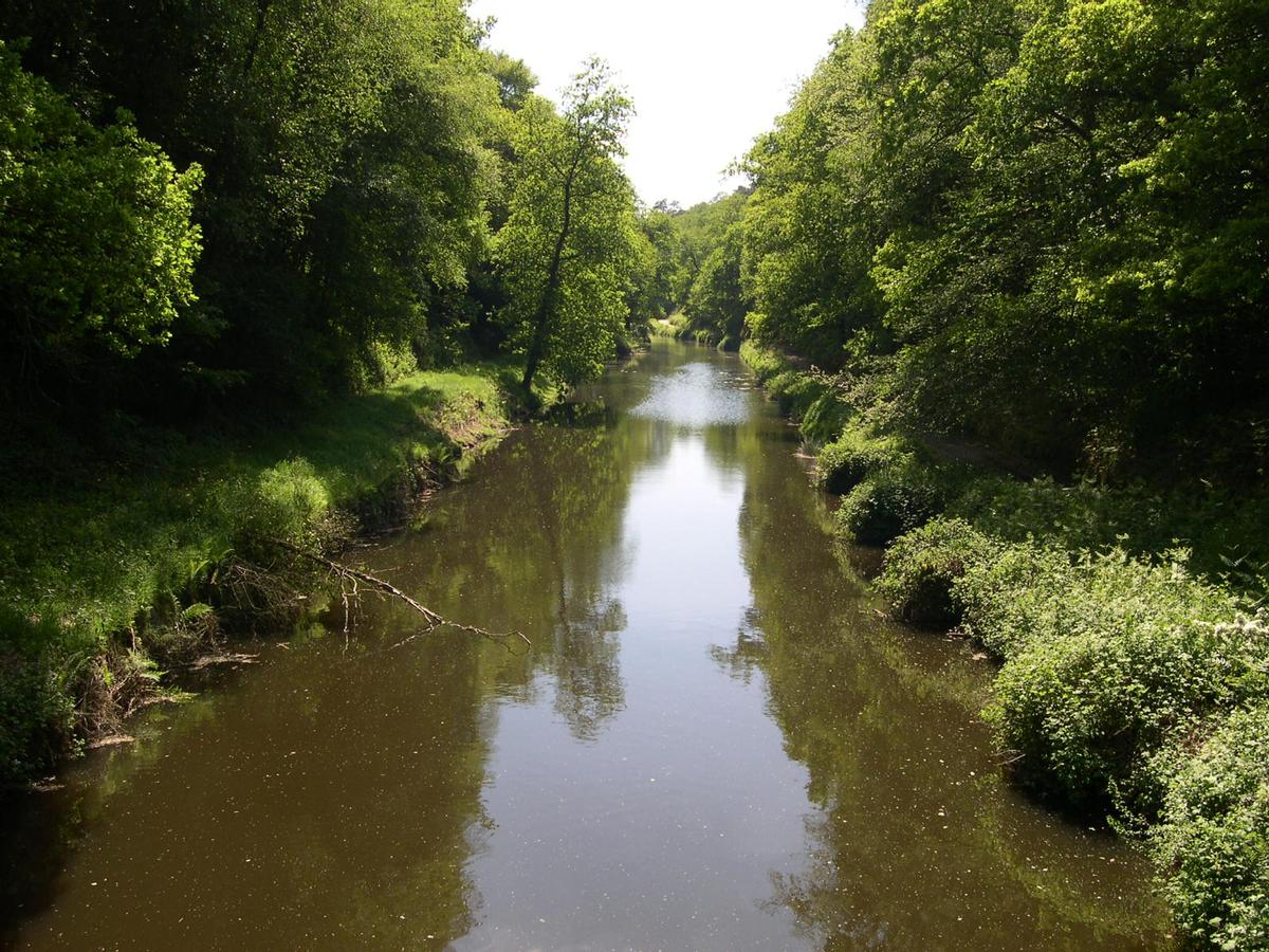
Canal embankment |
|---|
Location
| Location: |
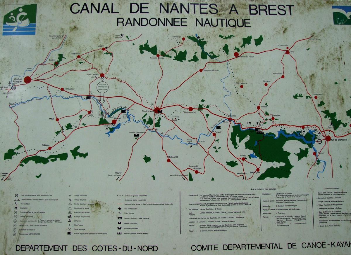
Glomel, Côtes-d'Armor (22), Bretagne, France |
|---|---|
| Part of: | |
| Coordinates: | 48° 14' 11.83" N 3° 23' 43.35" W |
Technical Information
Dimensions
| width | 10 m | |
| height | 23 m | |
| length | 4 km |
Quantities
| excavated material | 1 500 000 m³ |
Participants
Currently there is no information available about persons or companies having participated in this project.
Relevant Web Sites
There currently are no relevant websites listed.
- About this
data sheet - Structure-ID
20016424 - Published on:
23/05/2005 - Last updated on:
24/06/2022
Structurae cooperates with


