
General Information
| Name in local language: | Staudamm Friedersdorf |
|---|---|
| Beginning of works: | 1972 |
| Completion: | 1975 |
| Status: | in use |
Project Type
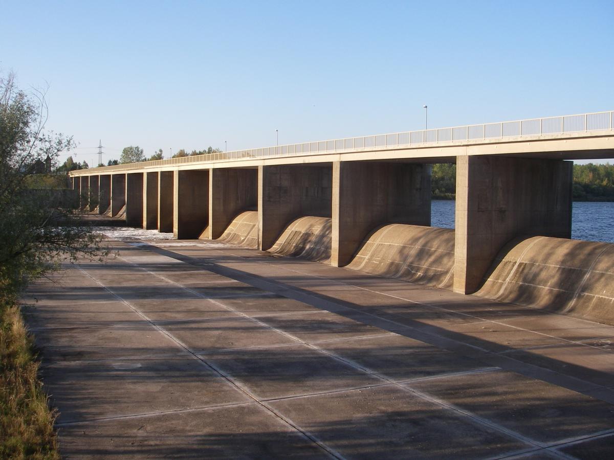
| Structure: |
Gravity dam |
|---|---|
| Function / usage: |
Flood-control dam |
| Material: |
Concrete dam |
Location
| Location: |
Friedersdorf, Muldestausee, Anhalt-Bitterfeld, Saxony-Anhalt, Germany |
|---|---|
| Impounds: |
|
| Coordinates: | 51° 39' 17.99" N 12° 21' 25.97" E |
Technical Information
Dimensions
| height | 19.00 m | |
| retained water volume | 135 500 000 m³ | |
| crest length | 303 m |
Participants
Currently there is no information available about persons or companies having participated in this project.
Relevant Web Sites
There currently are no relevant websites listed.
- About this
data sheet - Structure-ID
20020754 - Published on:
21/04/2006 - Last updated on:
06/07/2017
Structurae cooperates with


