
General Information
| Completion: | 1956 |
|---|---|
| Status: | in use |
Project Type
| Function / usage: |
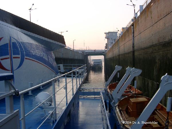
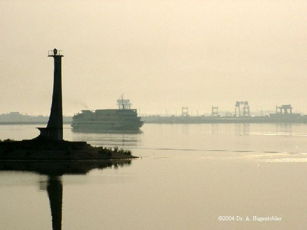
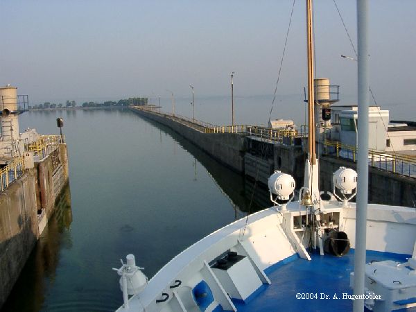
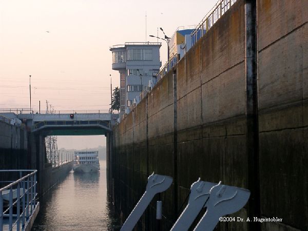
Lock |
|---|
Location
| Location: |
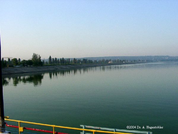
Kamianske, Dnipropetrovsk Oblast, Ukraine |
|---|---|
| Impounds: |
|
| See also: |
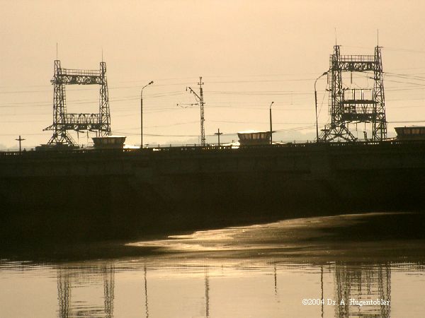
Middle Dnieper Hydroelectric Station (1963)
|
| Coordinates: | 48° 32' 47.06" N 34° 32' 26.11" E |
Technical Information
Dimensions
| length | 270 m | |
| height difference | 15 m |
Participants
Currently there is no information available about persons or companies having participated in this project.
Relevant Web Sites
There currently are no relevant websites listed.
- About this
data sheet - Structure-ID
20013187 - Published on:
01/09/2004 - Last updated on:
29/07/2014
Structurae cooperates with


