
General Information
| Other name(s): | Sunset Tunnel |
|---|---|
| Completion: | 1940 |
| Status: | in use |
Project Type
| Structure: |
Tunnel |
|---|---|
| Function / usage: |
Road tunnel |
Location
| Location: |
Washington County, Oregon, USA |
|---|---|
| Address: | U.S. Route 26 |
| Coordinates: | 45° 43' 50.52" N 123° 15' 7.20" W |
Technical Information
Dimensions
| total length | 243.81 m |
Excerpt from Wikipedia
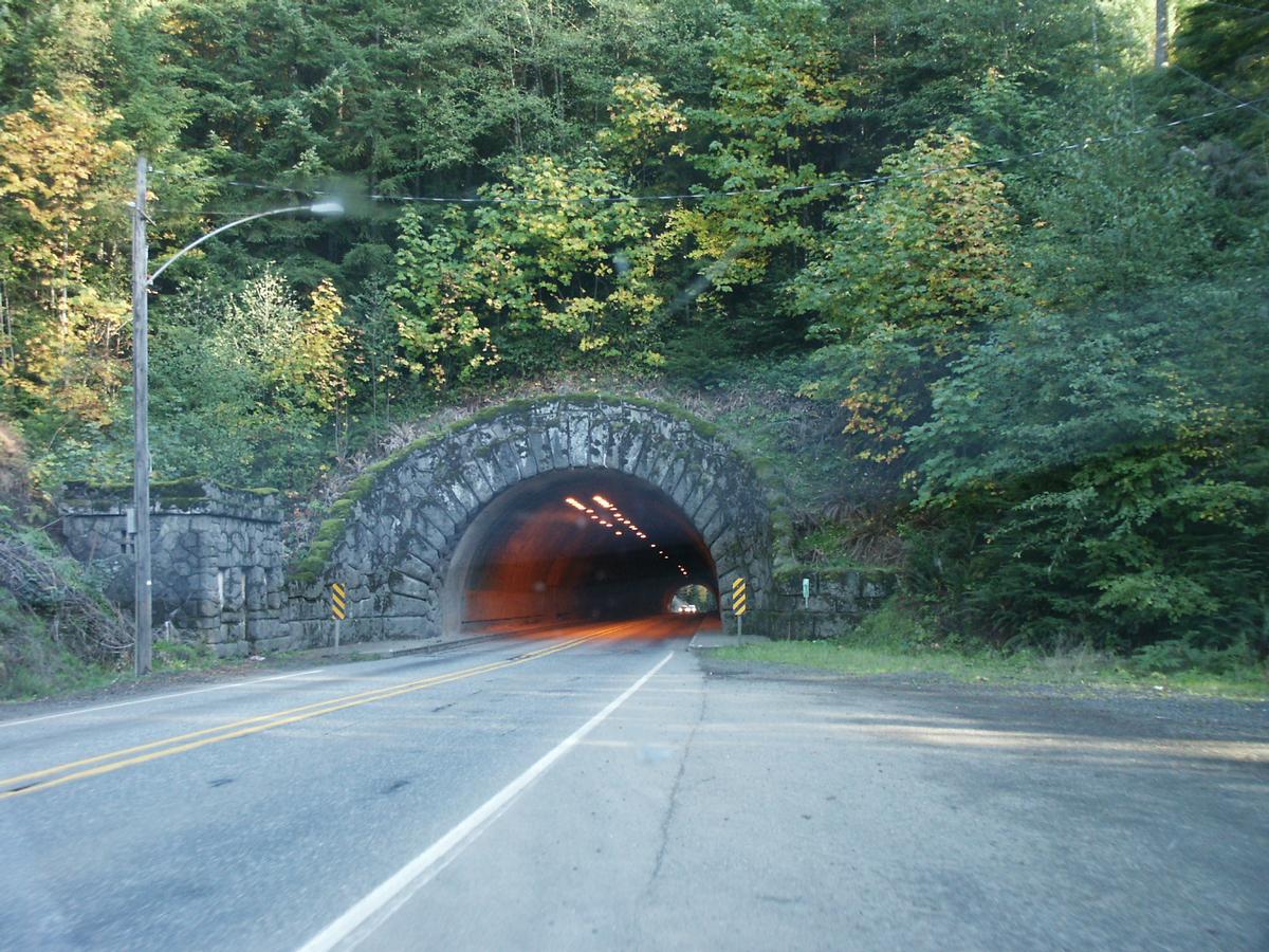
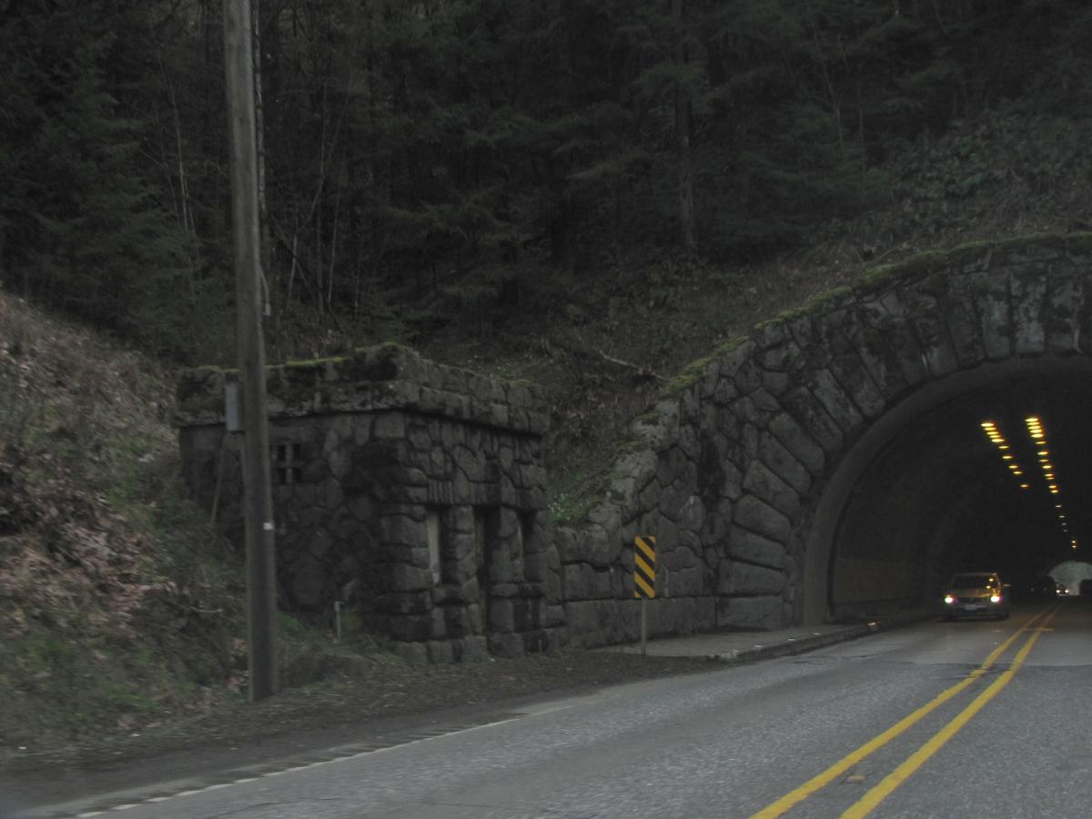
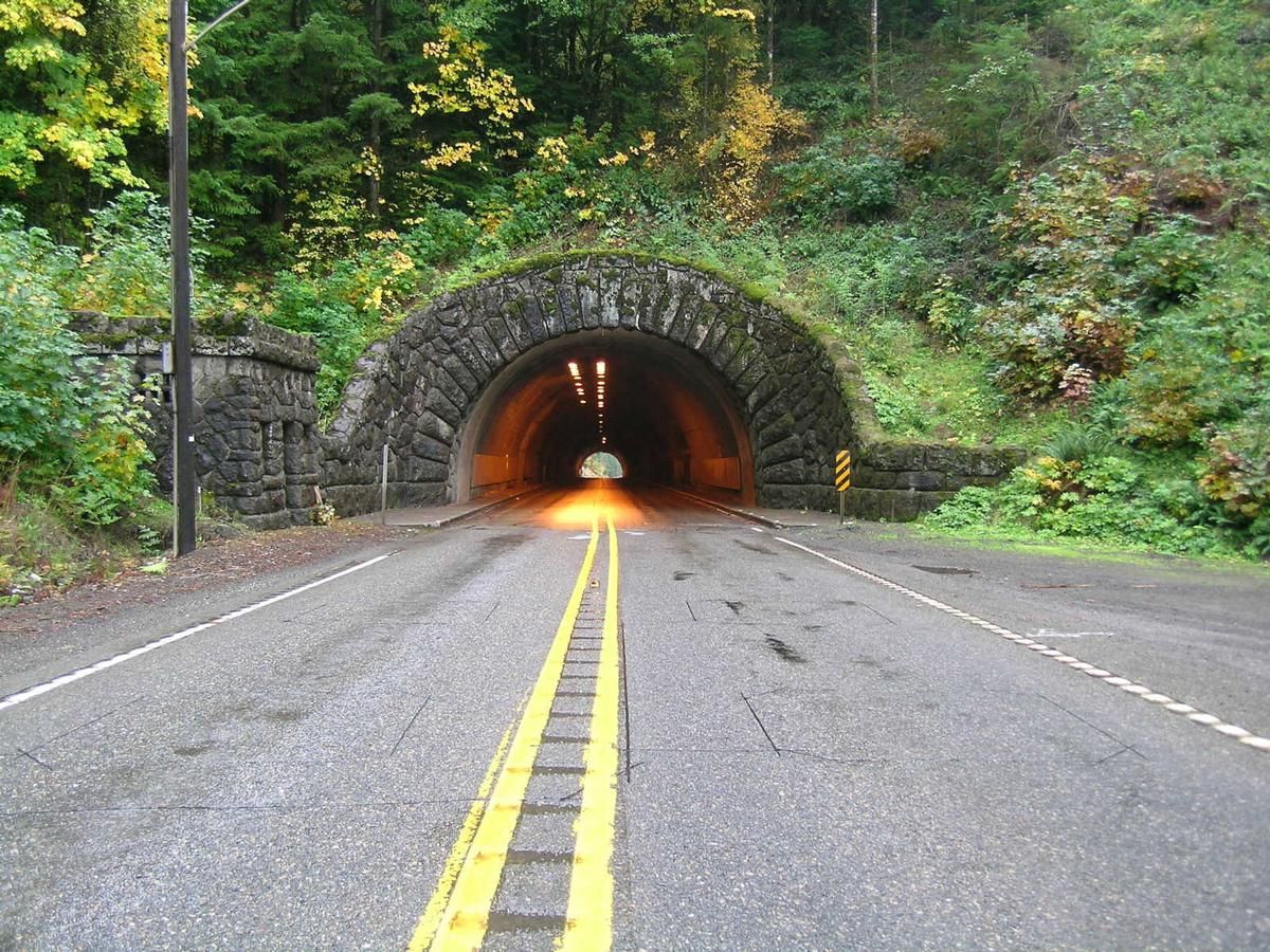
The Dennis L. Edwards Tunnel is a highway tunnel in northwestern Oregon that carries the Sunset Highway (U.S. Route 26) through the Northern Oregon Coast Range mountains near the unincorporated community of Manning, 27 miles (43 km) west of Portland. The tunnel was completed in 1940 and is 772.0 feet (235.3 m) long.
The tunnel was originally known as the Sunset Tunnel until 2002. It was renamed in honor of Dennis L. Edwards, an Oregon Department of Transportation worker who was killed on January 28, 1999 when part of the tunnel collapsed while he was inspecting it for damage caused by heavy rains. The tunnel was closed for five weeks for repairs, and renamed for Edwards three years later.
Text imported from Wikipedia article "Dennis L. Edwards Tunnel" and modified on 23 July 2019 under the CC-BY-SA 3.0 license.
Participants
Currently there is no information available about persons or companies having participated in this project.
Relevant Web Sites

- About this
data sheet - Structure-ID
20031972 - Published on:
13/09/2007 - Last updated on:
28/05/2021
Structurae cooperates with


