
General Information
| Completion: | 26 February 1911 |
|---|---|
| Status: | in use |
Project Type
| Structure: |
Underground structure |
|---|---|
| Function / usage: |
Below grade metro or light-rail station |
Location
| Location: |
Paris (17th), Paris, Ile-de-France, France |
|---|---|
| Part of: | |
| Coordinates: | 48° 53' 50.48" N 2° 19' 45.05" E |
Technical Information
There currently is no technical data available.
Excerpt from Wikipedia
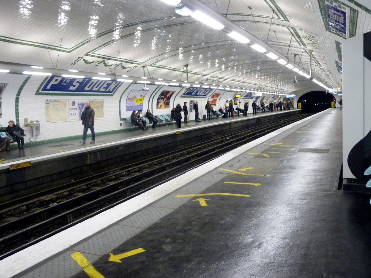
Porte de Saint-Ouen is a station on line 13 of the Paris Métro on the border of the 17th and 18th arrondissements. Unusually it has an escalator directly linking the platform to the street at the exit to the Rue Leibniz.
The station opened on 26 February 1911 as part of the Nord-Sud Company's line B from Saint-Lazare to Porte de Saint-Ouen. It was the terminus of the northern branch of the line until 30 June 1952 when the line was extended to Carrefour Pleyel. On 27 March 1931 line B became line 13 of the Métro. The station is named after the Porte de Saint-Ouen, a gate in the nineteenth century Thiers wall of Paris, which led to Saint-Ouen.
Text imported from Wikipedia article "Porte de Saint-Ouen (Paris Métro)"
and modified on 23 July 2019 under the CC-BY-SA 3.0 license.
Participants
Currently there is no information available about persons or companies having participated in this project.
Relevant Web Sites

- About this
data sheet - Structure-ID
20051655 - Published on:
08/01/2010 - Last updated on:
16/05/2015
Structurae cooperates with


