
General Information
| Completion: | 25 February 1903 |
|---|---|
| Status: | in use |
Project Type
| Structure: |
Underground structure |
|---|---|
| Function / usage: |
Below grade metro or light-rail station |
Location
| Location: |
Paris (11th), Paris, Ile-de-France, France Paris (20th), Paris, Ile-de-France, France |
|---|---|
| Part of: | |
| Coordinates: | 48° 51' 46" N 2° 23' 15" E |
Technical Information
There currently is no technical data available.
Excerpt from Wikipedia
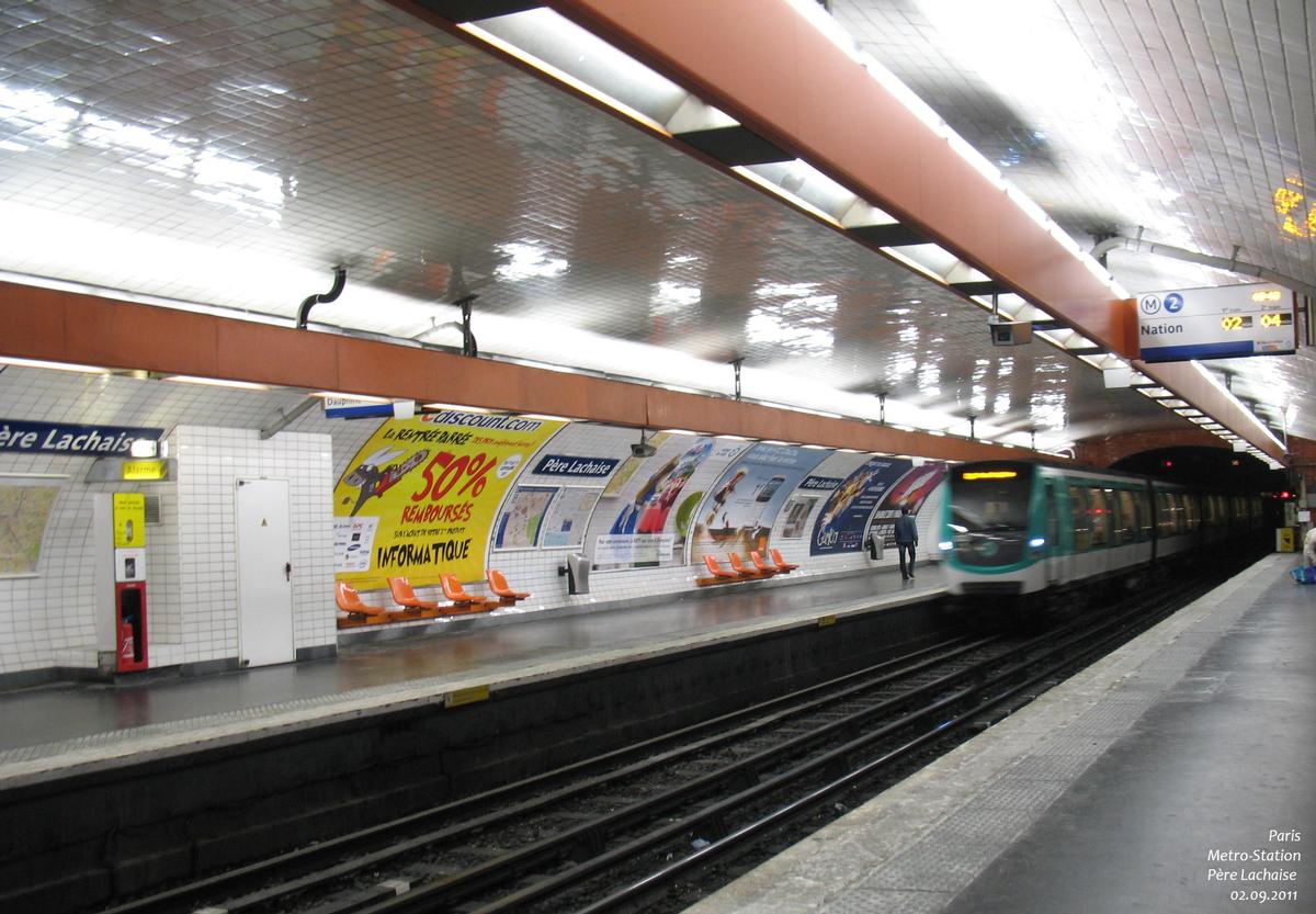
Père Lachaise is a station of the Paris Métro, serving line 2 and 3 on the border of the 11th and 20th arrondissements.
The station was opened on 31 January 1903 as part of the extension of line 2 (known at the time as "2 Nord") from Anvers to Bagnolet (now called Alexandre Dumas). The line 3 platforms opened on 19 October 1904 as part of the first section of the line between Père Lachaise and Villiers. It was a terminus for three months until the line was extended to Gambetta on 25 January 1905.
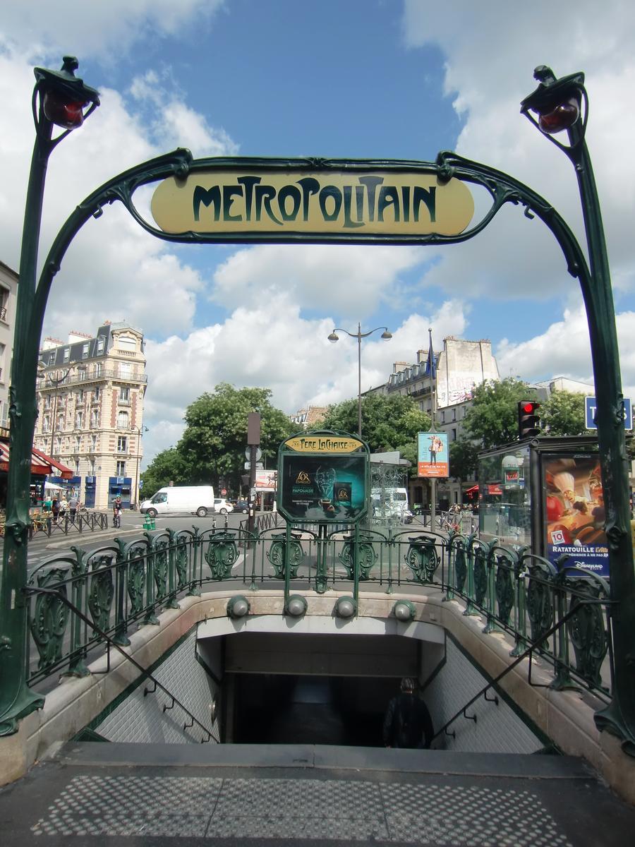
The station is named for the Père Lachaise Cemetery, which it serves, and which in turn takes ist name from Father François d'Aix de La Chaise, confessor to Louis XIV of France. It was the location of the Barrière de Amandiers, a gate built for the collection of taxation as part of the Wall of the Farmers-General; the gate was built between 1784 and 1788 and demolished during the 19th century.
In 1909, the station became the first metro station to have an escalator.
Text imported from Wikipedia article "Père Lachaise (Paris Métro)" and modified on 23 July 2019 under the CC-BY-SA 3.0 license.
Participants
Currently there is no information available about persons or companies having participated in this project.
Relevant Web Sites

- About this
data sheet - Structure-ID
20051406 - Published on:
07/01/2010 - Last updated on:
25/01/2022
Structurae cooperates with


